Blank map of Antigua and Barbuda
The outline, free as a PNG, SVG or PDF. Label it, colour it in or drop it into a slide.
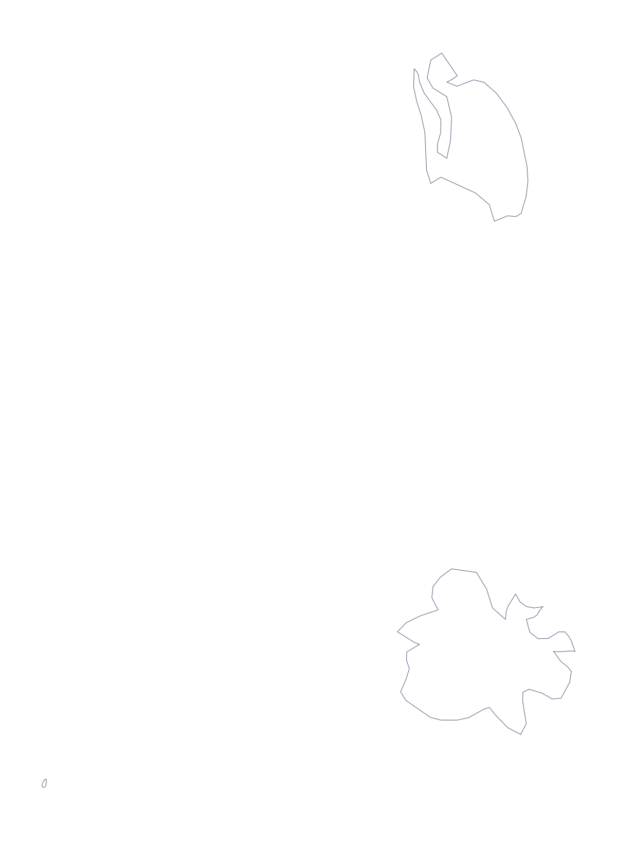
Using a blank map of Antigua and Barbuda
Antigua and Barbuda is a small shape, which suits design work: it can sit in the corner of a slide, a card or a map key. This page gives you that shape as a file. Outline only is the country on its own, and With borders adds the lines between its 8 administrative areas. Each comes as a PNG, an SVG or a PDF.
In a design tool
Open the SVG in Illustrator, Inkscape or Figma and the lines are vectors, so you can scale the outline up to a poster or down to an icon without it blurring. Recolour the areas from a brand palette, thicken the line for a cover, or pull Barbuda and Redonda apart from the rest to show them as separate pieces in a diagram.
For a slide, drop in the PNG. Its transparent background takes the colour of the slide, so the outline can sit on a photo or a coloured panel with no white box around it.
Which version
The political blank map of Antigua and Barbuda is the With borders version: the areas drawn in and no names. It suits a key or a diagram that you build in your own document. Outline only is for a silhouette, a header or a logo sketch.
If you are building a slide about the areas, work on the SVG: give each area its own fill, then export one image per area for a slide each. The list on this page gives the names for your captions. A PDF is there for A4 or Letter when you want the outline on paper as it stands; for ink choices and class sets, the printable map of Antigua and Barbuda is the place.
For names, colour or a pin on Saint John's, choose Customise this map and finish in the editor.
How to do it in MapMaker
- Choose With borders for the 8 areas, or Outline only for the country on its own.
- Pick PNG for a slide, SVG for a design tool or PDF, A4 or PDF, Letter.
- Place the file in your document and resize it from a corner so it keeps its proportions.
- Choose Customise this map if you want names, colours or a title added first.
The 8 administrative areas on the map
A key for labelling the map by hand.
- Barbuda
- Redonda
- Saint George
- Saint John
- Saint Mary
- Saint Paul
- Saint Peter
- Saint Philip
Facts about Antigua and Barbuda
Antigua and Barbuda is in the Caribbean. The capital is Saint John's. The population is about 97,000 (2019 estimate). Antigua and Barbuda has an area of about 450 km². The map divides it into 8 administrative areas.
Questions people ask
Is there a political blank map of Antigua and Barbuda?
Yes: the With borders version. It draws the 8 administrative areas inside the outline with no names, so it works as the political blank map. Outline only is the shape of the country alone.
Does the blank map show the names of the areas?
No. Neither version has names, which is the point of a blank map. The list of areas further down this page gives the names, so it doubles as a key when you label the map yourself.
Does the PNG have a transparent background?
Yes. Everything outside the outline is see-through, so the shape of Antigua and Barbuda takes the colour of the slide, document or card you place it on.
How do I add names, a title or my own colours?
Choose Customise this map to open the same outline in the editor. There you can show names, colour the areas, add a title on the Canvas tab and pin Saint John's with Find a city.