Editable map of the US and Canada
Colour the countries, add cities and labels, and download it in minutes. Free, no sign-up.
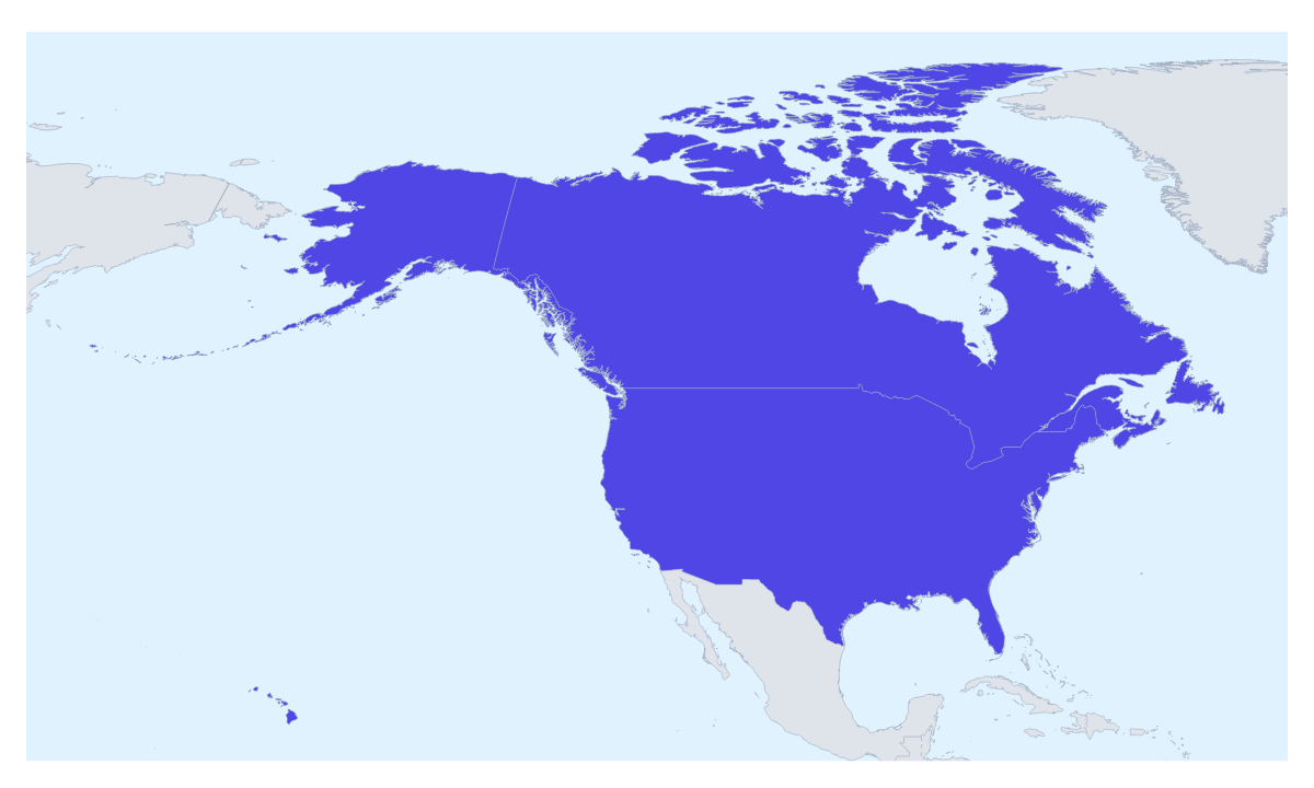
Ideas for a map of the US and Canada
Businesses often treat the US and Canada as one territory, and a map like this is how that gets said on a slide: two countries, one colour, a title that names the region. It is also the quick map for a cross-border road trip, a sales area split into two halves or a project on North American neighbours. This one opens with both countries drawn and ready to colour.
One territory, or two
If your company manages both countries as a single region, colour them the same and write the region's name on the legend. If the two have different owners, use two colours and put the name of each team in the legend. For a rollout, give each country a colour that says where it stands: live, launching, or not yet.
Trips and offices
A route across both countries needs only a handful of pins. Search for the cities you will pass through, join them in order and number the stops; switch the plane icon on only for a flight. A team with an office on each side of the border can pin both and add a short text box beside each with the site name.
Making it yours
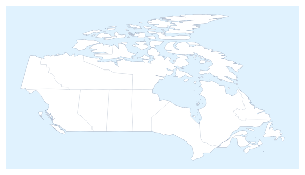
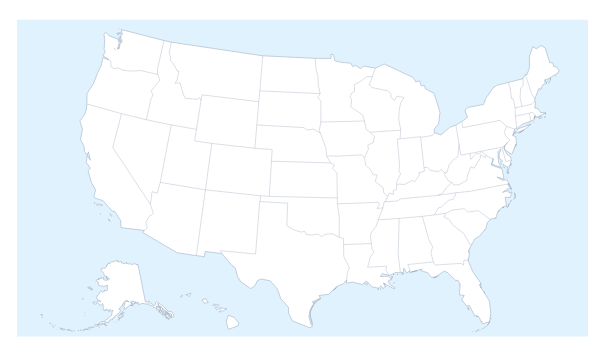
With only two shapes, keep the design plain. Pick a colour in the bar on the map, then click a country; click it again to clear it. Neighbours draws the surrounding countries in grey and Borders sets how heavy the lines are. Add a title puts the cursor in the title field ready to type. For anything inside the countries, go to the editable map of US states or the editable map of Canadian provinces.
Files, and slides
Download a PNG for slides, an SVG for a design tool or a PDF to print. For a slide, set the canvas to 16:9, then paste the map with Copy image in the Download dialog; Minimal keeps it quiet beside a table of figures. The map for PowerPoint page has more on maps in decks.
How to do it in MapMaker
- Pick a colour in the bar on the map and click Canada, the United States of America or both.
- Choose Customise this map to open the editor, where the place list names both countries.
- Add the cities of your offices or stops with Find a city, then a title and a legend on the Canvas tab.
- Choose Download and save a PNG for a slide or an SVG for a design tool.
Embed this map
Paste this code into your website to show this map of the US and Canada, with a small credit link back to MapMaker.so.
Facts about the US and Canada
2 members are on the map. The members are Canada and United States of America.
Maps of places in the US and Canada
Questions people ask
Which countries does the map of the US and Canada show?
Two: Canada and the United States of America. The countries around them can be drawn in grey with the Neighbours switch, and only the two take colour.
Can I colour the states and provinces on this map?
Not on this one, which shows the two countries whole. For the states, use the editable map of US states; for the provinces, use the editable map of Canadian provinces. Both have a link in the text above.
Can I add my own cities or offices to the map?
Yes. Choose Customise this map, then Add your cities, search for a city and pin it. Pins can mark offices, stores or stops, and a legend can say what each colour of pin means.
Can I draw a route across the US and Canada?
Yes. Pin each stop with Find a city and join the pins with the Route tool. Numbered stops show the order, and a plane icon can be switched on for a flight.