Editable map of South Asia
Colour the countries, add cities and labels, and download it in minutes. Free, no sign-up.
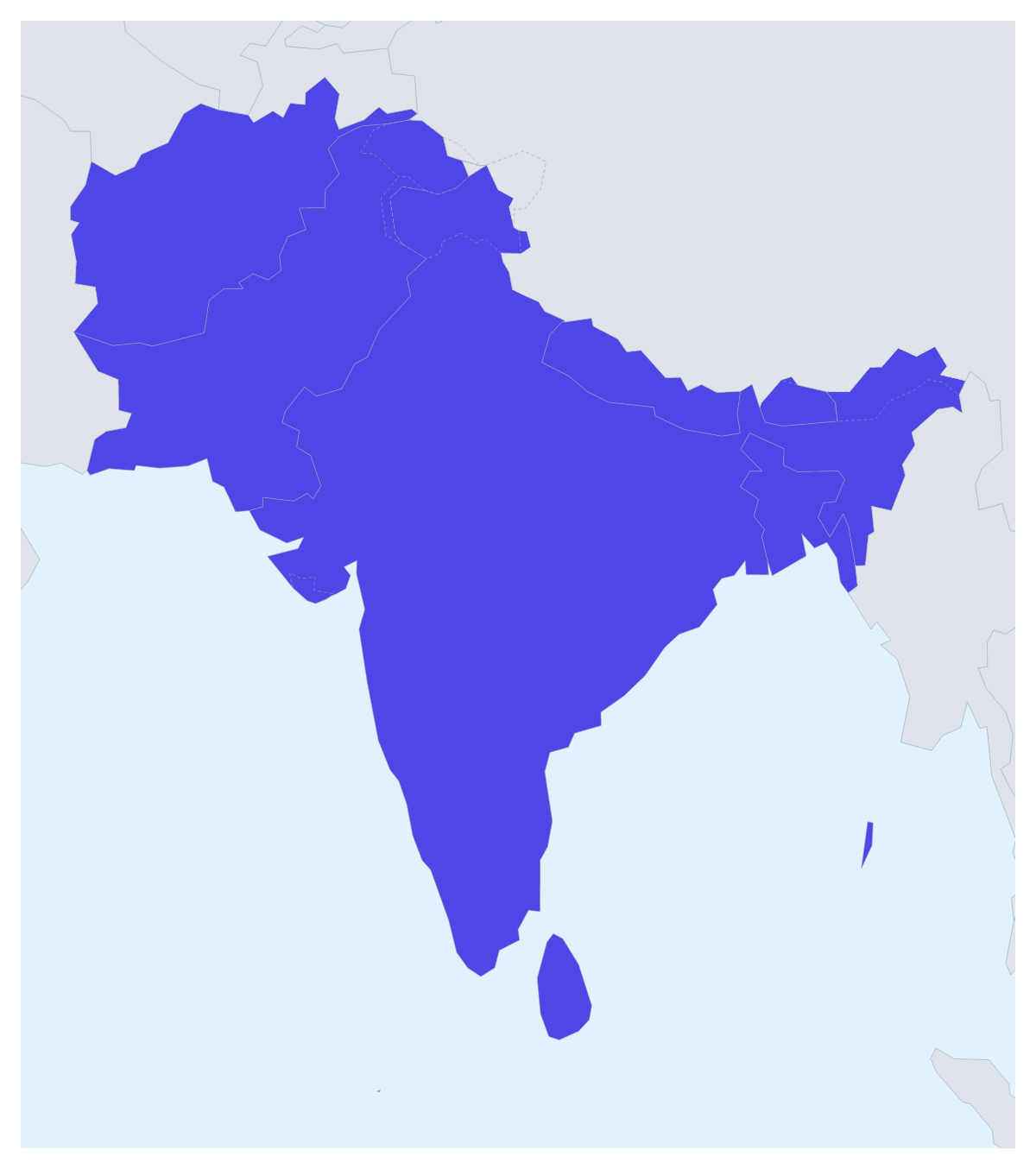
Ideas for a map of South Asia
A map of South Asia usually has a job in a larger piece of work: the suppliers a business buys from, the countries a charity's programme reaches, a regional trip or a geography project on eight neighbours. This one opens with the eight countries drawn and ready to colour, so you can spend your time on what the colours mean.
Suppliers, programmes and trips
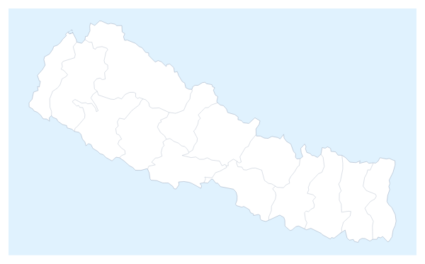
A buying team can give each supplier country a colour by contract status, with a legend that reads "signed", "in talks" and "not yet", and drop the result into a sourcing review. A charity can pick out the countries where it runs projects, say Nepal, Bhutan and Bangladesh, and leave the rest plain for a donor report.
For a trip, pin your stops with the city search and join them with a route; numbered stops show the order, and a plane icon can be switched on for a flight. A pupil on a project can give every country its own colour, show the names and add a title for a wall display.
Making it yours
Start with the bar on the map: pick a colour, click a country, click again to clear it. Neighbours draws the surrounding countries in grey, which gives readers their bearings. The Maldives and Bhutan are easy to miss on the map, so choose Customise this map and pick them from the place list, where all eight are named. Add a title puts the cursor in the title field straight away.
Files, and the map in a deck
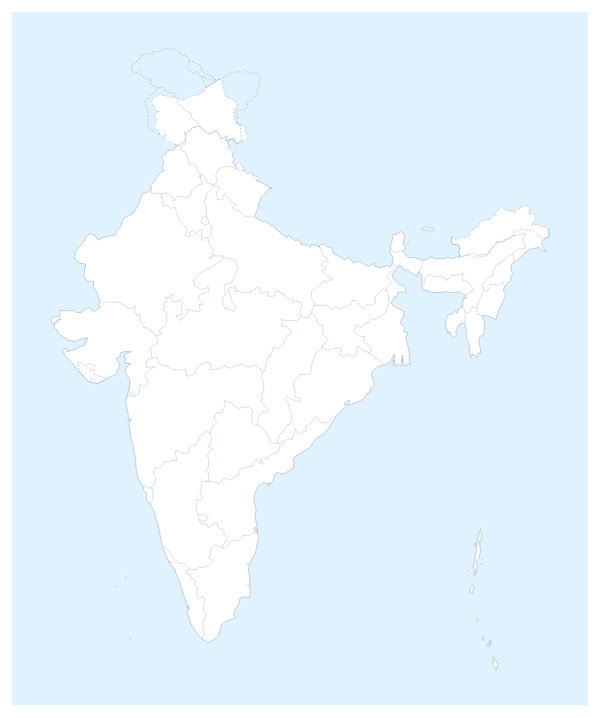
PNG or JPG suits a document or an email, SVG goes to Illustrator, Inkscape or Figma, and PDF prints on A4, Letter or A3. For a regional review in PowerPoint or Google Slides, set the canvas to 16:9, keep to three colours at most and use Copy image in the Download dialog to paste the map in; a Dark style suits a dark theme. The map for PowerPoint page goes further. To look inside the biggest country on the map, start from the editable map of India.
How to do it in MapMaker
- Pick a colour in the bar on the map and click the countries of South Asia you want, with Neighbours on for context.
- Choose Customise this map to carry on in the editor, where the place list names all eight countries.
- Pin your cities with Find a city and give the map a title and a legend on the Canvas tab.
- Choose Download and save a PNG for a slide or an SVG for a design tool.
Embed this map
Paste this code into your website to show this map of South Asia, with a small credit link back to MapMaker.so.
Facts about South Asia
This map shows the eight countries of South Asia that make up SAARC. 8 members are on the map. The members are Afghanistan, Bangladesh, Bhutan, India, Maldives, Nepal, Pakistan and Sri Lanka.
Maps of places in South Asia
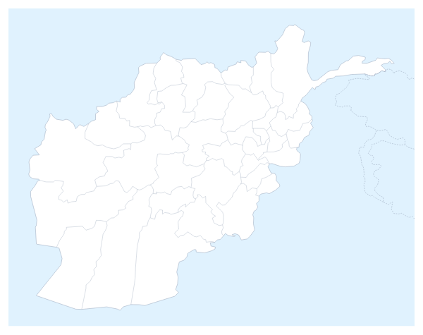
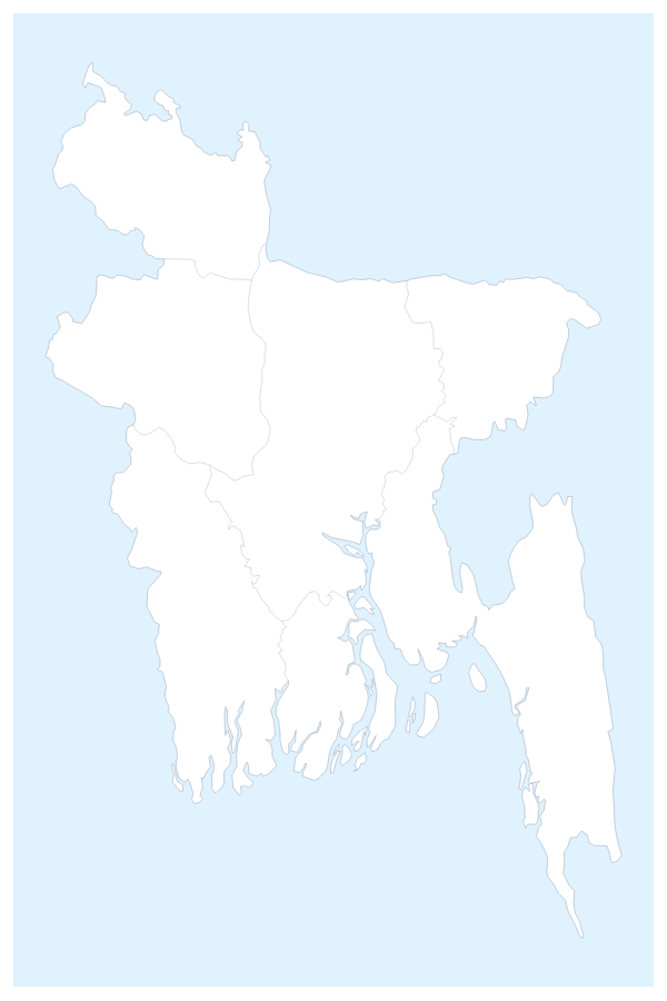
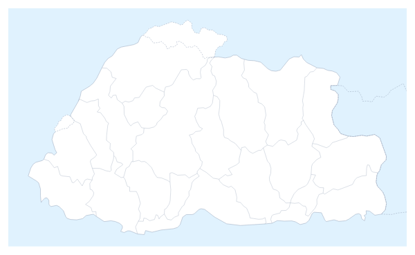

Questions people ask
Which countries does the map of South Asia show?
Eight: Afghanistan, Bangladesh, Bhutan, India, Maldives, Nepal, Pakistan and Sri Lanka. The countries around them can be drawn in grey with the Neighbours switch, and only the eight take colour.
How do I colour a country that is hard to click on the map?
Choose Customise this map and pick it by name from the place list in the editor. A country drawn as a speck, such as the Maldives, is quicker to find there than by clicking the map.
Can I highlight only some of the countries of South Asia?
Yes. Pick a colour in the bar on the map and click only the countries you need, say India, Bangladesh and Sri Lanka for a supplier slide. The others keep the plain land colour, and a second click clears a country.
Can I add my own cities to the map of South Asia?
Yes, in the editor. Choose Add your cities, search for a city by name and pin it, then add text boxes or a legend to say what each pin stands for.