Editable map of Spanish-speaking countries
Colour the countries, add cities and labels, and download it in minutes. Free, no sign-up.
Ideas for a map of Spanish-speaking countries
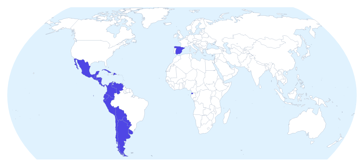
A map of Spanish-speaking countries is mostly a teaching map and a marketing map. A Spanish teacher wants it for a unit on the countries pupils will meet in their textbook; a company wants it to show where a Spanish-language product, course or campaign is aimed. This one opens with the 20 countries on the map drawn and ready to colour, from Argentina to Venezuela.
In a Spanish lesson
Teachers can colour the countries a unit has covered so far, leave the others plain and add a title in Spanish, so the map grows as the term goes on. Pupils can show the names and then make a quiz of their own by hiding them again. A project on one country, say Peru or Costa Rica, can start with that country in a strong colour and a text box beside it for the facts pupils find.
For a team or a campaign
A company that localises its product can colour the countries by stage: live, translating, planned. A language school can pin the cities where its partner schools are, using the city search, and add a legend that explains the pins. For a year-abroad talk, number the stops of a trip and draw a route between them.
Making it yours
Click countries with a colour from the bar on the map; only the 20 members take colour. Small shapes are easier to find by name, so choose Customise this map and use the place list. Add a title puts the cursor in the title field, and Add your cities opens the pin tool. Vintage suits a classroom poster, Minimal a business slide.
The file, and slides
Download a PNG or JPG for worksheets and documents, SVG for Illustrator, Inkscape or Figma, or a PDF for print. Going into a deck, set the canvas to 16:9, turn on Transparent if the slide has its own background and keep to two or three colours with a short legend. The map for PowerPoint page has more. For a printed sheet instead, use the printable map of Spanish-speaking countries.
How to do it in MapMaker
- Pick a colour in the bar on the map and click the Spanish-speaking countries you want to highlight.
- Choose Customise this map to open the editor, where the place list names all 20 countries.
- Add a title on the Canvas tab, and pins with Find a city for the cities of schools, offices or stops.
- Choose Download and save a PNG for a worksheet or slide, or an SVG for a design tool.
Embed this map
Paste this code into your website to show this map of Spanish-speaking countries, with a small credit link back to MapMaker.so.
Facts about Spanish-speaking countries
This map shows the countries where Spanish is an official language. 20 members are on the map.
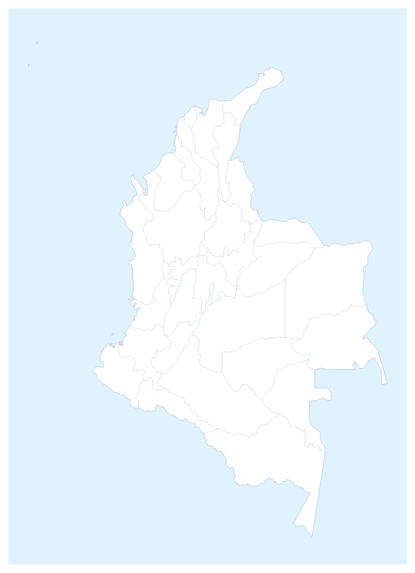
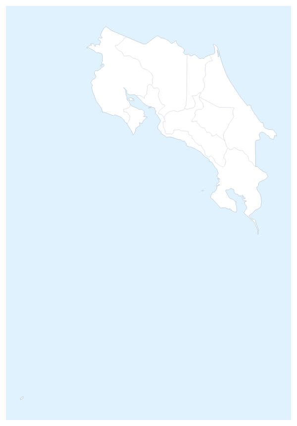
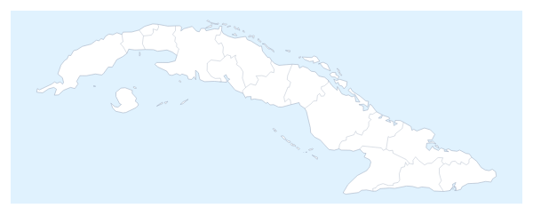
Maps of places in Spanish-speaking countries
Questions people ask
Which countries does the map of Spanish-speaking countries show?
20: Argentina, Bolivia, Chile, Colombia, Costa Rica, Cuba, the Dominican Republic, Ecuador, El Salvador, Equatorial Guinea, Guatemala, Honduras, Mexico, Nicaragua, Panama, Paraguay, Peru, Spain, Uruguay and Venezuela.
Can I highlight only some of the Spanish-speaking countries?
Yes. Pick a colour in the bar on the map and click only the countries you need, for example Mexico, Colombia and Spain for a market slide. Countries you leave alone keep the plain land colour, and a second click clears one.
Can I show the names of the countries on the map?
Yes, in the editor. Choose Customise this map, open a country and switch on Show names. You can also type each name in Spanish with a text box.
Can I use the map in PowerPoint, Google Slides or Keynote?
Yes. Set the canvas to 16:9 in the editor, colour the countries, then download a PNG or use Copy image in the Download dialog and paste the map onto the slide.