Editable map of Southeast Asia
Colour the countries, add cities and labels, and download it in minutes. Free, no sign-up.
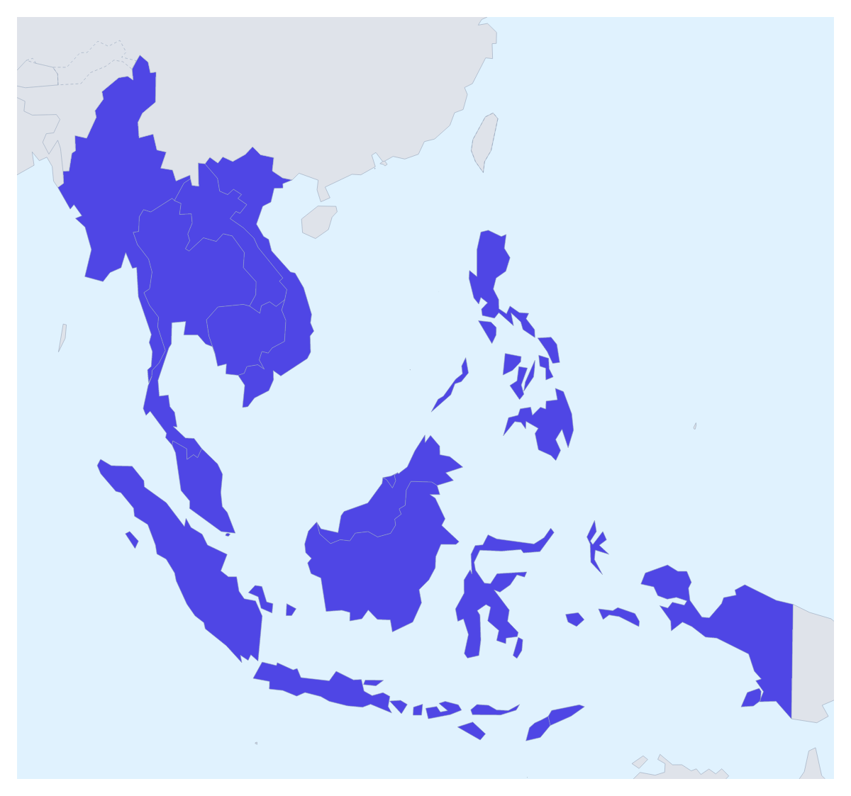
Ideas for a map of Southeast Asia
A map of Southeast Asia is most often a working map: the markets a company sells in, the countries a project covers, the stops of a long trip, a school topic on the region. This one opens with its 11 countries drawn and ready to colour, from Brunei to Vietnam, so your time goes on deciding what each colour means.
Markets, projects and trips
A company expanding in the region can colour each country by how far it has got: one colour for Singapore and Malaysia where it already sells, another for Vietnam and Thailand where it is opening, a third for the rest. A legend with those three words turns the map into a status slide.
A charity or a research team can pick out the countries a programme works in, such as Cambodia, Laos and Myanmar, and leave the others plain. For a trip, pin each stop with the city search and draw a route between them, with numbered stops to show the order. A class studying the region can give each of the 11 countries its own colour and show their names for a revision sheet.
Making it yours
Start with the bar on the map: pick a colour and click a country, and click it again to clear it. Neighbours draws the countries around the region in grey, which helps a reader find their bearings. In the editor, opened with Customise this map, the place list names all 11, so the Philippines or Brunei are a click away. Add your cities opens the pin tool, and Add a title puts the cursor in the title field.
Getting the file out
Download a PNG or JPG for a report or an email, an SVG for Illustrator, Inkscape or Figma, or a PDF on A4, Letter or A3 for print. For a regional update in a slide deck, set the canvas to 16:9 first and keep to two or three colours; Copy image in the Download dialog pastes the map straight onto a slide, and the map for PowerPoint page covers maps in decks in more detail. When the slide is about the organisation rather than the region, start from the map of ASEAN instead.
How to do it in MapMaker
- Pick a colour in the bar on the map and click the countries of Southeast Asia you need, with Neighbours on for context.
- Choose Customise this map to carry on in the editor, where the place list names all 11 countries.
- Add pins with Find a city and a title and a legend on the Canvas tab.
- Choose Download and save a PNG for a slide or an SVG for a design tool.
Embed this map
Paste this code into your website to show this map of Southeast Asia, with a small credit link back to MapMaker.so.
Facts about Southeast Asia
11 members are on the map. The members are Brunei, Cambodia, Indonesia, Laos, Malaysia, Myanmar, Philippines, Singapore, Thailand, Timor-Leste and Vietnam.
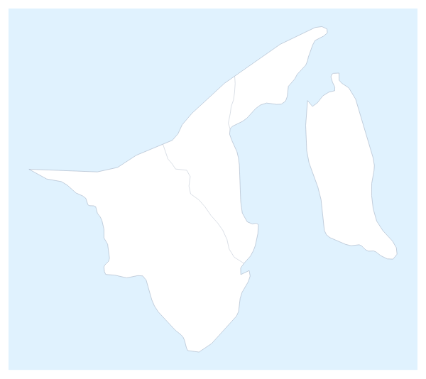
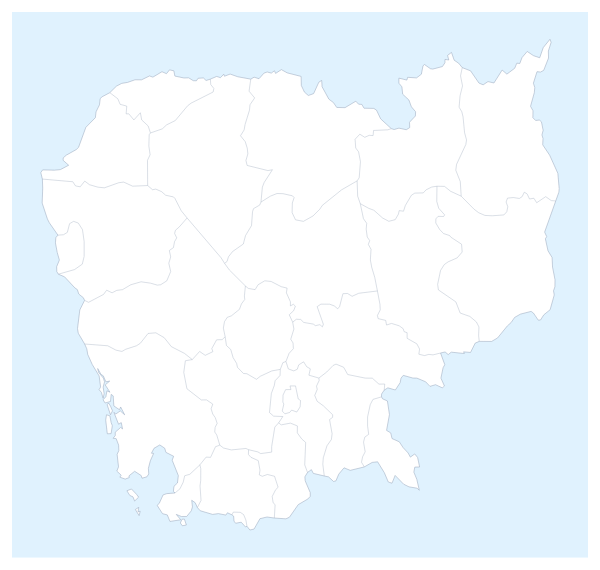
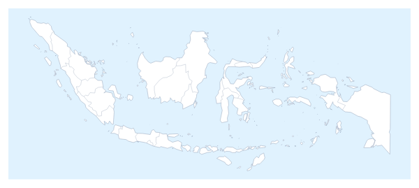
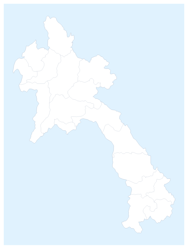
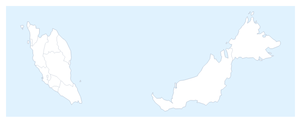
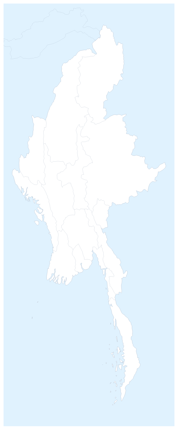
Maps of places in Southeast Asia
Questions people ask
Which countries does the map of Southeast Asia show?
Its 11 countries on the map: Brunei, Cambodia, Indonesia, Laos, Malaysia, Myanmar, the Philippines, Singapore, Thailand, Timor-Leste and Vietnam. The countries around them can be drawn in grey for context, and only the 11 take colour.
How is this map different from the map of ASEAN?
The two maps show the same 11 countries, since Timor-Leste joined ASEAN. This one is about the region, its geography and its places; ASEAN is an organisation. Use the ASEAN map when a slide is about the organisation and its members.
Can I highlight only some of the countries of Southeast Asia?
Yes. Pick a colour in the bar on the map and click only the countries you need, such as Vietnam, Thailand and Indonesia for a sourcing slide. The rest keep the plain land colour, and a second click clears a country.
Can I use the map in PowerPoint, Google Slides or Keynote?
Yes. Set the canvas to 16:9 in the editor, then download a PNG, or choose Copy image in the Download dialog and paste the map onto the slide. Switch on Transparent if the slide has a coloured background.