Editable map of the Balkans
Colour the countries, add cities and labels, and download it in minutes. Free, no sign-up.
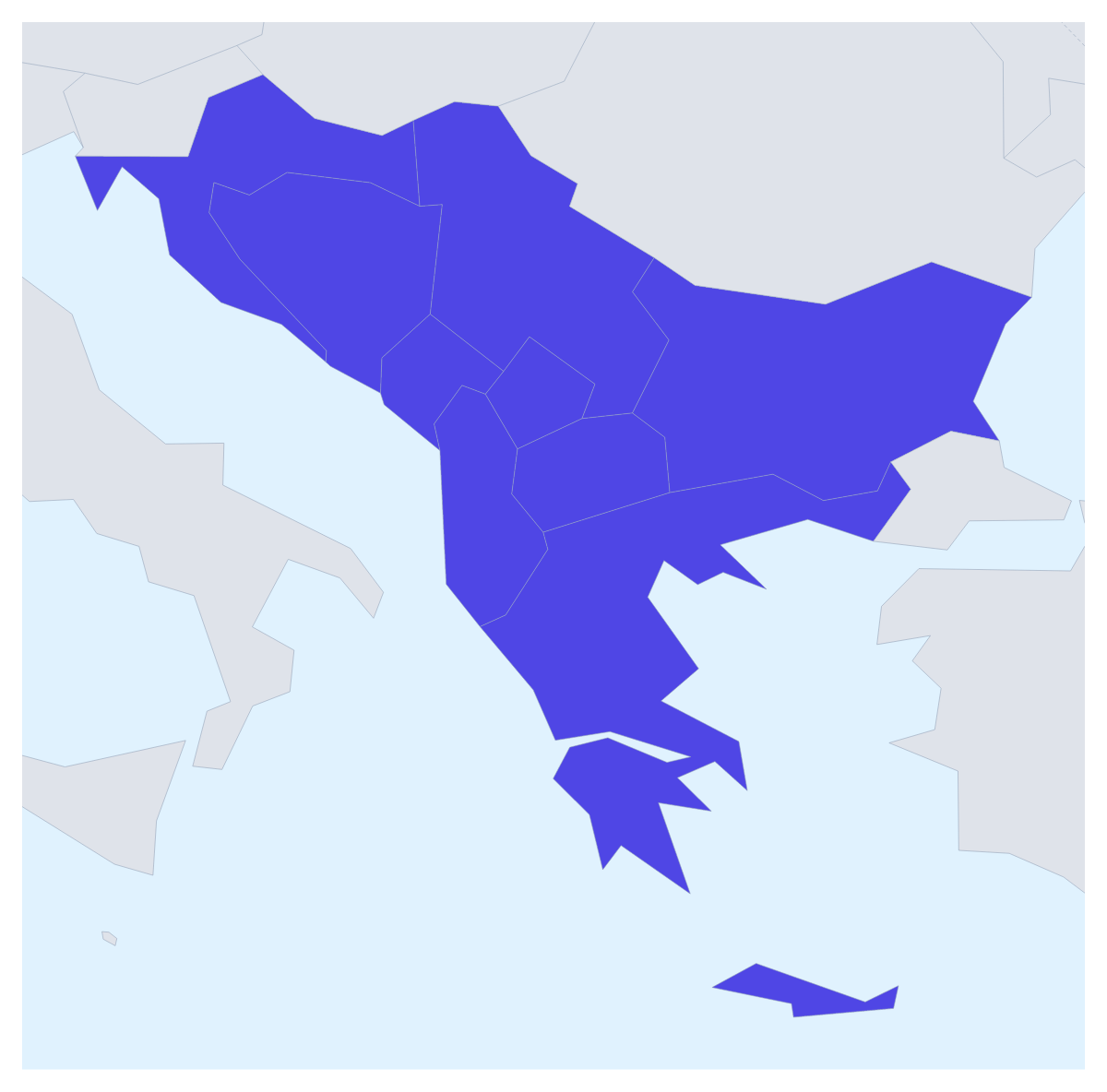
Ideas for a map of the Balkans
People want a map of the Balkans for a travel post about a route through the region, a slide on a company's distributors there, or a school project on its nine countries. This one opens in the editor with all nine drawn and the countries around them in grey, ready to colour, pin and label.
Trips, partners and projects
For a trip, pin each stop with the city search and join them with a route; numbered stops show the order, and you can switch the plane icon off for a journey by bus or train. A PNG of the result drops into a blog post beside the itinerary.
A business with partners across the region can give each partner a colour, click the countries it covers and add a legend with the partners' names. For a slide on a few markets, colour only Croatia, Greece and Bulgaria in one strong colour and leave the rest plain.
Pupils studying the region can give each of the nine countries its own colour, show their names and add a title for a revision sheet or a display. If your course or report counts more countries as Balkan, open the map in the editor and add them with Custom set… under More, then Place.
Making it yours
Pick a colour in the bar on the map and click a country, and click it again to clear it. In the editor, opened with Customise this map, the place list names all nine, from Albania to Serbia, and a click on one opens a card with colours and Show names. Add your cities opens the pin tool with the city search ready. Vintage makes a good travel poster; Minimal keeps a report slide quiet.
Getting the file out
Download a PNG or JPG for a blog or a document, an SVG for Illustrator, Inkscape or Figma, or a PDF on A4, Letter or A3 to print. For a talk or a pitch, set the canvas to 16:9 before you start, then use Copy image in the Download dialog to paste the map onto the slide; the map for PowerPoint page has more on maps in decks. To place the region within the continent, start from the map of Europe.
How to do it in MapMaker
- Pick a colour in the bar on the map and click the countries of the Balkans you need.
- Choose Customise this map to open the editor, where the place list names all nine countries.
- Add pins with Find a city, join them with a route, and give the map a title on the Canvas tab.
- Choose Download and save a PNG for a post or a slide, or an SVG for a design tool.
Embed this map
Paste this code into your website to show this map of the Balkans, with a small credit link back to MapMaker.so.
Facts about the Balkans
This map shows the countries usually counted as the Balkans; some definitions add others. 9 members are on the map. The members are Albania, Bosnia and Herzegovina, Bulgaria, Croatia, Greece, Kosovo, Montenegro, North Macedonia and Serbia.
Maps of places in the Balkans
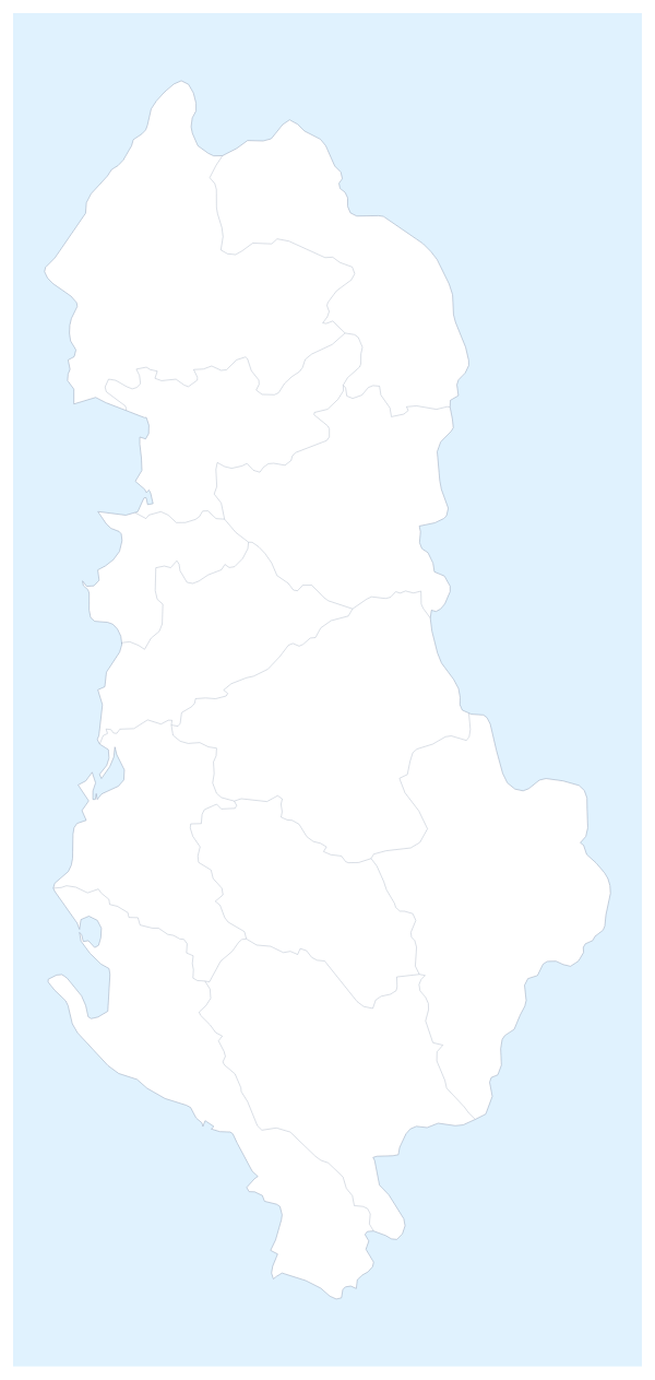
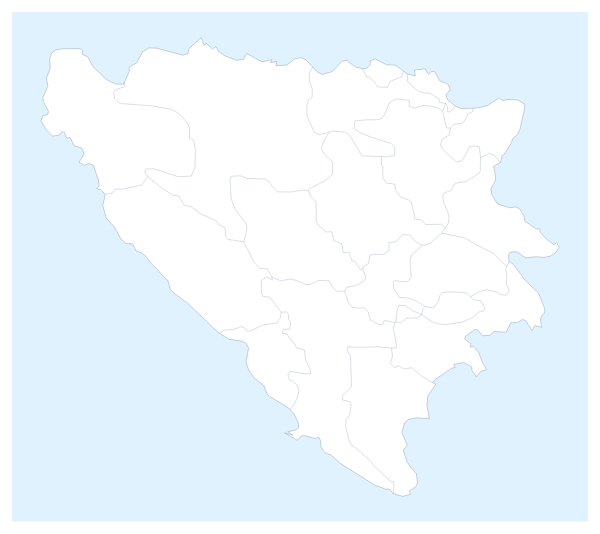
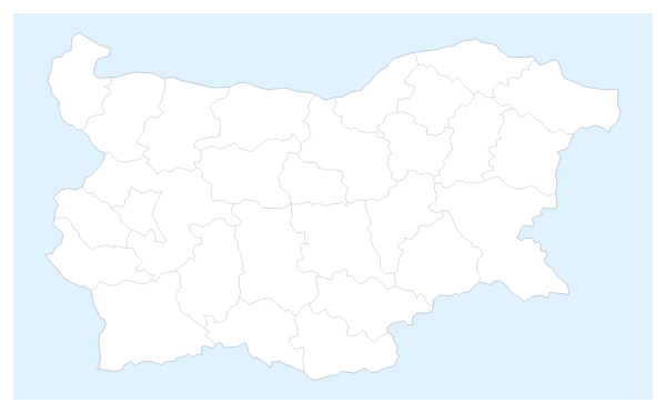
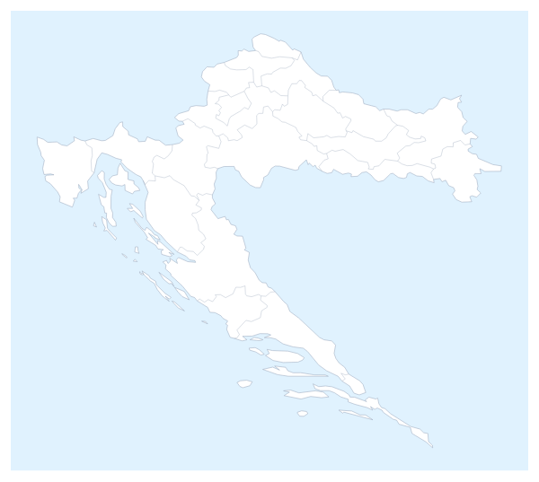
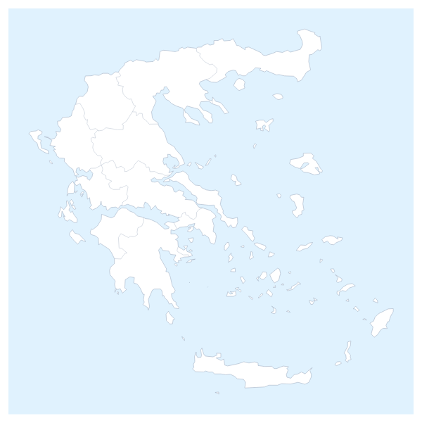
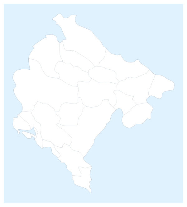
Questions people ask
Which countries does the map of the Balkans show?
The nine countries this map counts as the Balkans: Albania, Bosnia and Herzegovina, Bulgaria, Croatia, Greece, Kosovo, Montenegro, North Macedonia and Serbia. The countries around them can be drawn in grey for context.
Can I add countries that my course counts as part of the region?
Yes. In the editor, open More, then Place, and choose Custom set…: the nine stay selected. Search for each country you want to add and choose Add to set beside it, then choose Use selected, which shows how many are in the set, to redraw the map with your list.
Can I draw a route across the Balkans?
Yes. Pin each stop with Find a city in the editor, then join the pins with the Route tool. Numbered stops show the order of the trip, and the plane icon can be switched off for a journey by road or rail.
How do I show the countries around the Balkans?
Use the Neighbours switch in the bar on the map. It starts on for this map and draws the surrounding countries in grey, so readers can see where the region sits; those countries stay grey and take no colour.