Editable map of Central America
Colour the countries, add cities and labels, and download it in minutes. Free, no sign-up.
Ideas for a map of Central America
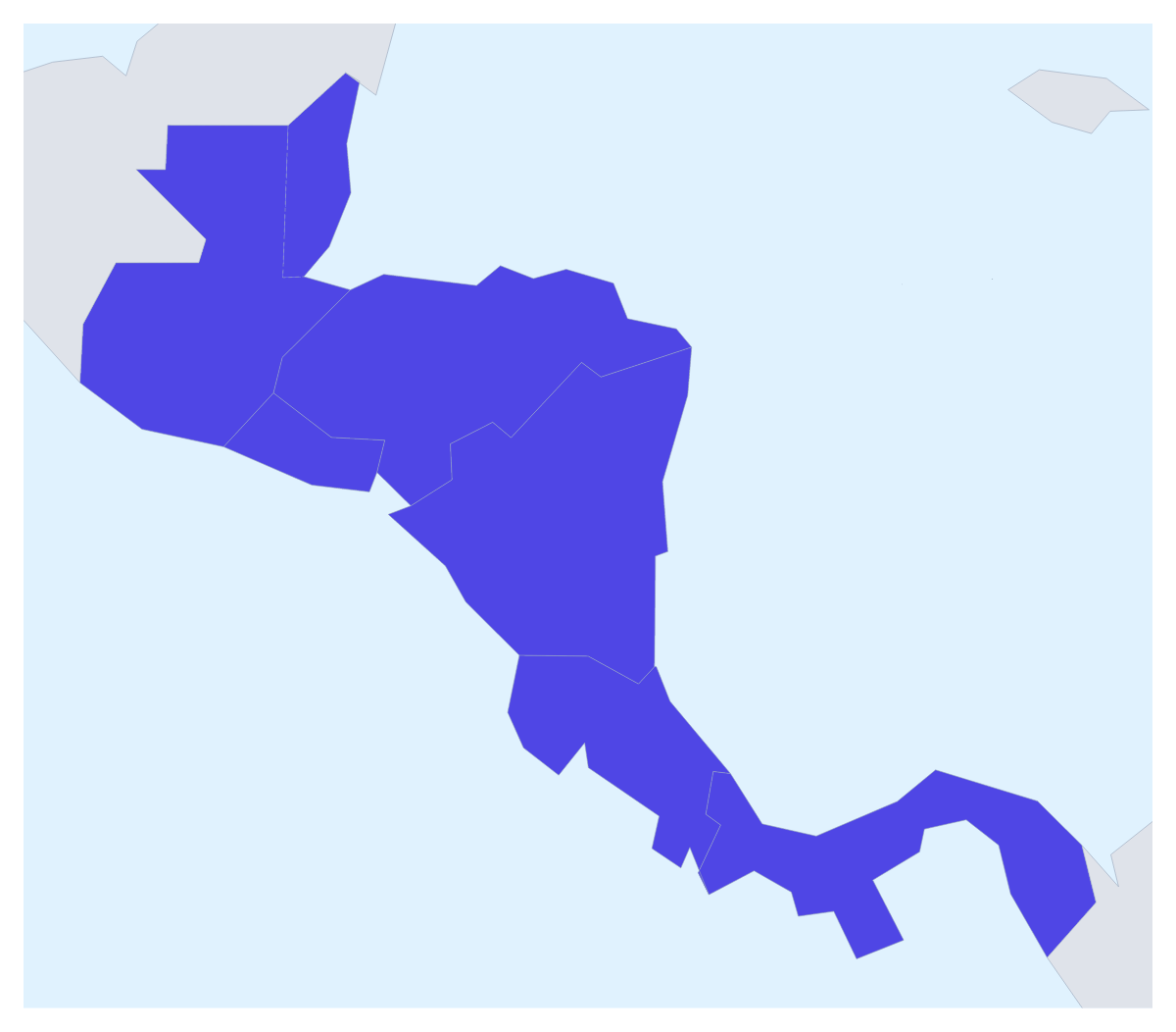
Central America is a small map with plenty of uses: a travel route, a sales plan, a volunteer project, a geography assignment. This one opens with its seven countries drawn and ready to colour, and the countries around them in grey, so you can start on the colours straight away.
A route through seven countries
A trip overland is a common use. Pin each stop with the city search, join the pins with a route and number the stops; switch the plane icon on only for a flight. A PNG of the result sits well in a travel blog or a family itinerary.
Plans and projects
A company can colour the countries by stage: where it sells, where it is opening and where it has not started. An aid or volunteer organisation can mark the countries where a project runs and add a legend with the project's name. With only seven countries, each one can have its own colour, so a class can colour them all and show the names for a revision sheet or a wall display.
In the editor
Pick a colour in the bar on the map and click a country; click it again to clear it. Neighbours shows or hides the grey countries around the seven. Choose Customise this map to carry on in the editor, where the place list names all seven and Add your cities opens the pin tool with the city search ready. Vintage gives a route a travel-poster look, and Minimal keeps a sales slide quiet.
For slides and the wider picture
For a slide, set the canvas to 16:9, keep to a few colours and paste the map with Copy image; the map for PowerPoint page has more on maps in decks. To show where the seven sit on the continents, start from the map of the Americas. For a version to print, there is a printable map of Central America.
How to do it in MapMaker
- Pick a colour in the bar on the map and click the countries you want, with Neighbours on for context.
- Choose Customise this map to open the editor, where the place list names all seven countries.
- Add pins with Find a city, join them with a route, and give the map a title on the Canvas tab.
- Choose Download and save a PNG for a blog or a slide, or an SVG for a design tool.
Embed this map
Paste this code into your website to show this map of Central America, with a small credit link back to MapMaker.so.
Facts about Central America
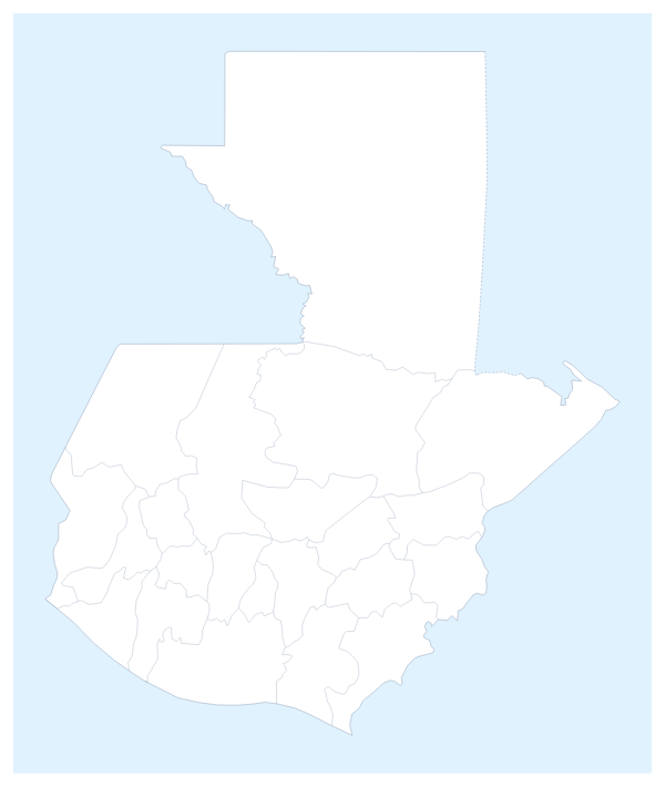
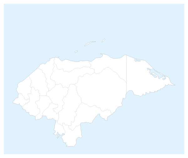
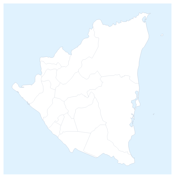
This map shows the seven countries of Central America, from Guatemala and Belize to Panama. 7 members are on the map. The members are Belize, Costa Rica, El Salvador, Guatemala, Honduras, Nicaragua and Panama.
Maps of places in Central America
Questions people ask
Which countries does the map of Central America show?
The seven countries on the map: Belize, Costa Rica, El Salvador, Guatemala, Honduras, Nicaragua and Panama. The countries around them can be drawn in grey, and only these seven take colour.
Can I draw a route across Central America?
Yes. Search for each stop with Find a city in the editor, then connect the pins with the Route tool. It numbers the stops in order, and you can turn on a plane icon for a flight.
How do I show the countries around Central America?
Use the Neighbours switch in the bar on the map. It draws the surrounding countries in grey for context, and they take no colour. Switch it off for a map of the seven alone.
Is this editable map of Central America free?
Yes. You can colour, label and download it without an account. Maps you change are kept in your own browser, under Your maps, so they are there when you come back on the same device.