Editable map of the Caribbean
Colour the countries, add cities and labels, and download it in minutes. Free, no sign-up.
Ideas for a map of the Caribbean
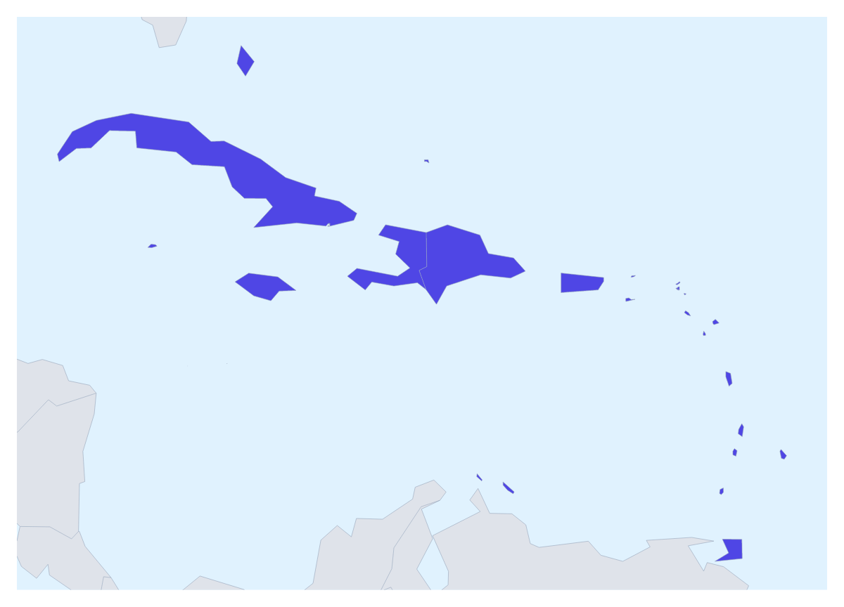
A map of the Caribbean is usually wanted for a trip, a regional sales plan or a school project on the area. This one opens with its 25 countries and territories drawn and ready to colour, with the countries around them in grey for context.
Planning a trip
For a holiday or a sailing plan, pin the cities you will stop in with the city search and join the pins with a route. Numbered stops give the order, and a plane icon can be switched on for a flight. A PNG of the result drops into a travel blog or a printed itinerary.
Teams, schools and projects
A business with agents across the region can colour each territory by who covers it and add a legend with the agents' names. A relief organisation can mark the places where a programme runs. A class can give each of the 25 a colour and show the names for a revision sheet; with this many, the legend does as much work as the map.
Small members and the place list
Many members are small on the page. Pick a colour in the bar on the map and click what you can reach; for the rest, choose Customise this map and pick by name from the place list, which runs from Anguilla to the United States Virgin Islands. Neighbours shows or hides the grey countries around them. Add your cities opens the pin tool, and Add a title puts the cursor in the title field.
A poster, a deck or a brochure
Vintage gives a route the look of a travel poster; Minimal suits a sales slide. For a deck, set the canvas to 16:9 and paste the map with Copy image; the map for PowerPoint page has more on maps in decks. An SVG goes to a designer and a PDF on A3 to a wall. For a version to print and label by hand, see the printable map of the Caribbean.
How to do it in MapMaker
- Pick a colour in the bar on the map and click the members you want, with Neighbours on or off.
- Choose Customise this map to open the editor and find the smallest members in the place list.
- Search for your stops with Find a city, join them with a route, and add a title on the Canvas tab.
- Choose Download and save a PNG for a slide or a blog, or an SVG for a design tool.
Embed this map
Paste this code into your website to show this map of the Caribbean, with a small credit link back to MapMaker.so.
Facts about the Caribbean
25 members are on the map.
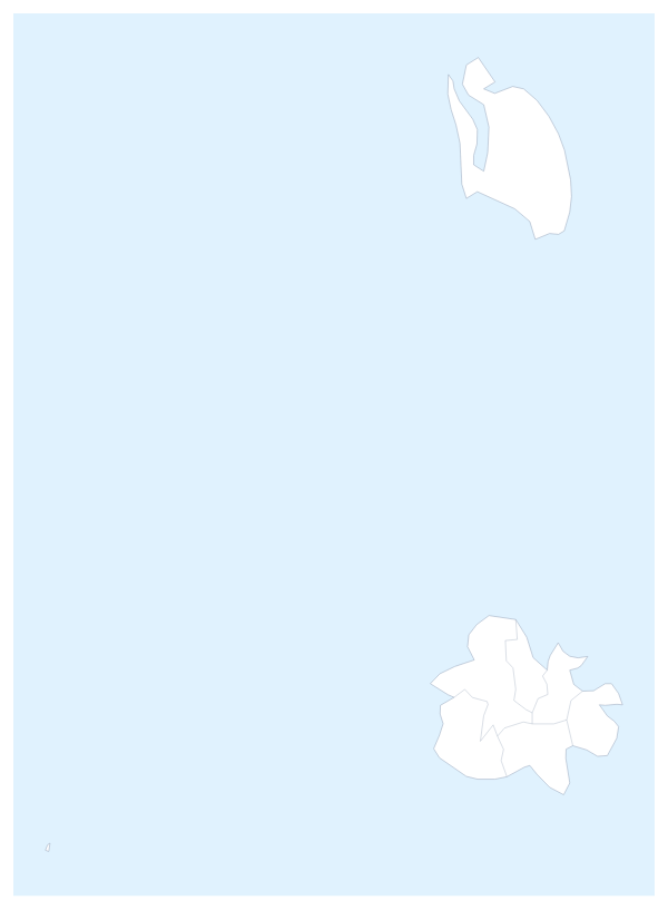
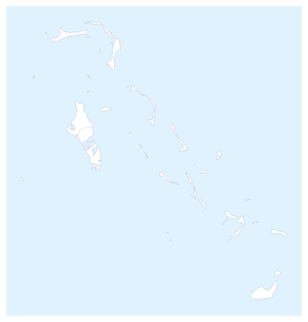
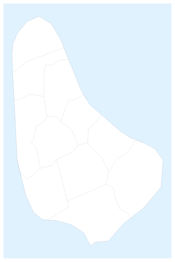
Maps of places in the Caribbean
Questions people ask
Which countries does the map of the Caribbean show?
The 25 countries and territories on the map, from Anguilla to the United States Virgin Islands. The facts section further down this page names every one, and the countries around them can be drawn in grey.
How do I colour a small member that is hard to click?
Choose Customise this map and pick it by name from the place list in the editor, which names all 25. Montserrat, Anguilla and Saint Barthélemy are quicker to find in that list than to hit on the page map.
Can I draw a route between places in the Caribbean?
Yes. Pin each stop with Find a city, then join the pins with the Route tool. Numbered stops give the order, and a plane icon can be switched on for a flight between islands.
Can I change the colours and the style of the map?
Yes. Pick any swatch in the bar on the map, or Any colour for your own. In the editor, styles such as Vintage, Minimal, Dark and Blueprint change the whole look of the map.