Editable map of the Mediterranean
Colour the countries, add cities and labels, and download it in minutes. Free, no sign-up.
Ideas for a map of the Mediterranean
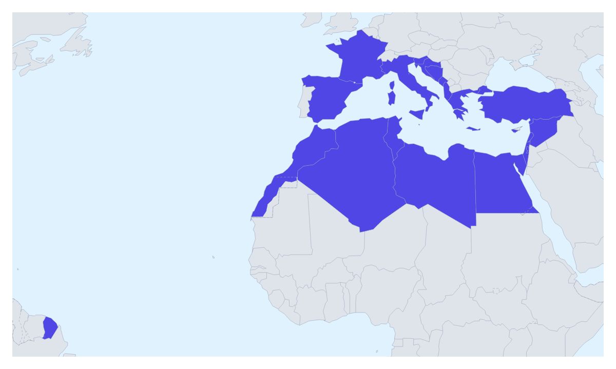
Most people who edit a map of the Mediterranean are planning something: a holiday that crosses several countries, a tourism campaign, a shipping or sourcing network, a school unit. This one opens with its 22 countries drawn and ready to change, so the first minute goes on choosing colours rather than finding borders.
Routes, campaigns and supply lines
For a trip, pin each stop with the city search and join the pins with a route. Numbered stops show the order, so an itinerary from Spain through France and Italy to Greece reads at a glance, and the PNG goes straight into a blog post or a booking document.
A tourism or travel company can colour the countries by how it sells them: one colour for the destinations in this season's brochure, another for those being added, a third for the rest, with a legend naming each group. A company buying goods around the Mediterranean can colour the countries by supplier or by contract stage and take the map to a procurement review.
A class can give the countries different colours and turn on Show names for a revision sheet or a display.
Making it yours
Pick a colour in the bar on the map and click a country; click it again to clear it. Neighbours draws the countries around the 22 in grey, Sea turns the water white or back, and Borders sets the line weight. For a small country such as Monaco or Malta, choose Customise this map and pick it from the place list. Vintage gives a route map the look of a travel poster.
Getting it into a deck
Set the canvas to 16:9, then paste the map into PowerPoint, Google Slides or Keynote with Copy image in the Download dialog. A route slide works best with only the stops numbered, and a single accent colour for the countries involved. More on decks is on the map for PowerPoint page. Looking at the surrounding landmasses instead, start from the map of Europe or the map of Africa.
How to do it in MapMaker
- Pick a colour in the bar on the map and click the countries of the Mediterranean you want, and use Sea to tune the water.
- Choose Customise this map to open the editor, where the place list names all 22 countries.
- Add pins with Find a city, join them with a route and give the map a title on the Canvas tab.
- Choose Download and save a PNG for a slide or an SVG for a design tool.
Embed this map
Paste this code into your website to show this map of the Mediterranean, with a small credit link back to MapMaker.so.
Facts about the Mediterranean
This map shows the countries with a coast on the Mediterranean Sea. 22 members are on the map.
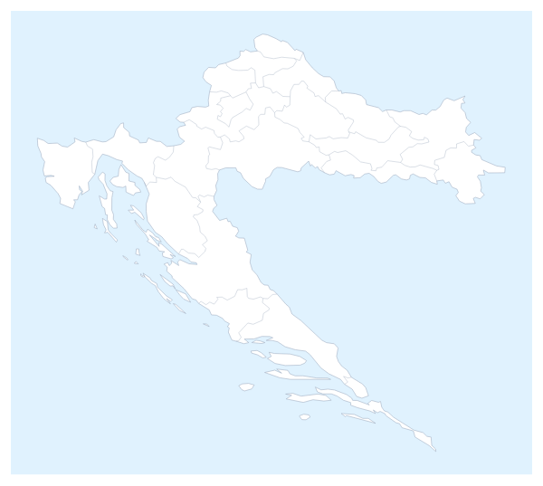
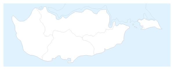
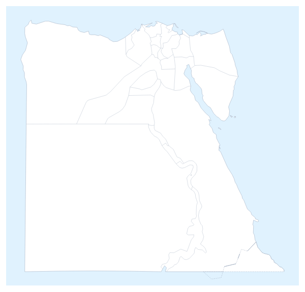
Maps of places in the Mediterranean
Questions people ask
Which countries does the map of the Mediterranean show?
The 22 countries on the map, including Spain, France, Italy, Greece, Turkey, Egypt and Morocco. The place list in the editor names every one of them.
Can I draw a route across the Mediterranean?
Yes. Pin each stop with Find a city in the editor and join the pins with the Route tool. Numbered stops show the order of the trip, and a plane icon can be switched on for a flight.
How do I colour a country that is hard to click, such as Monaco?
Choose Customise this map and pick it by name from the place list, which names all 22. Monaco and Malta are quicker to find there than by clicking the map.
Can I change the colours and the style of the map?
Yes. Pick colours from the bar on the map, then in the editor choose a style such as Vintage for a travel poster or Minimal for a business slide. Every style keeps the 22 countries in their places.