Editable map of Western Europe
Colour the countries, add cities and labels, and download it in minutes. Free, no sign-up.
Ideas for a map of Western Europe
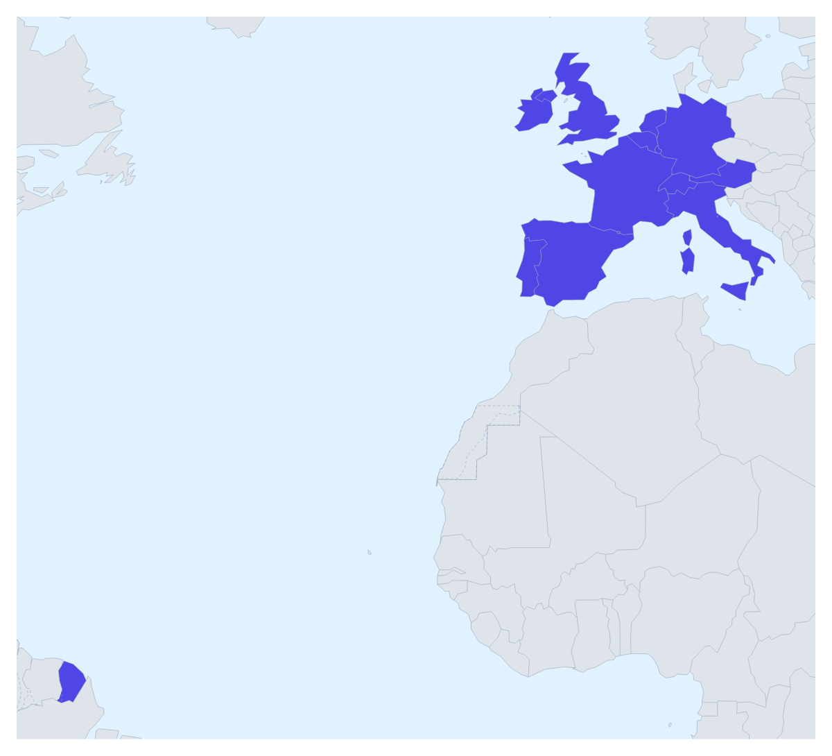
A map of Western Europe is the usual backdrop for a European sales split, a market-entry slide, a study-abroad poster or a plan for a trip across several countries. This one opens with its 17 countries drawn and ready to colour, and the countries around them in grey, so you can start on the colours straight away.
Territories, markets and projects
A European team can split the region between offices: one colour for the United Kingdom and Ireland, one for France, Belgium, the Netherlands and Luxembourg, one for Germany, Austria and Switzerland, and one for Spain, Portugal and Italy. A legend with each office's name turns it into the territory slide for the next sales meeting.
A company entering the region can colour the countries by stage instead: where it already sells, where it is launching and where it has no plans yet. A university's study-abroad office can pick out the countries of its partner universities, and a school project can give each of the 17 countries its own colour with its name shown. For a trip, pin the cities on the route with the city search and draw a route with numbered stops.
Making it yours
Pick a colour in the bar on the map and click the countries you want. If one is too small to click comfortably, such as Monaco or San Marino, choose Customise this map and pick it by name from the place list. Add your cities opens the pin tool with the city search ready, and Add a title puts the cursor in the title field. Minimal suits a report; Vintage suits a poster for a classroom wall.
Getting the file out
Download a PNG or JPG for a document or an email, an SVG for Illustrator, Inkscape or Figma, or a PDF on A4, Letter or A3 for print. Going into a deck, set the canvas to 16:9 first, and keep the territory colours to your company's palette so the map matches the slides around it; the map for PowerPoint page has more on maps in presentations. For the whole continent rather than this part of it, start from the map of Europe.
How to do it in MapMaker
- Pick a colour in the bar on the map and click the countries of Western Europe that belong together.
- Choose Customise this map to open the editor, where the place list names all 17 countries.
- Add a legend and a title on the Canvas tab, and rename each colour under Legend labels.
- Choose Download and save a PNG for a slide or an SVG for a design tool.
Embed this map
Paste this code into your website to show this map of Western Europe, with a small credit link back to MapMaker.so.
Facts about Western Europe
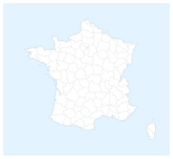
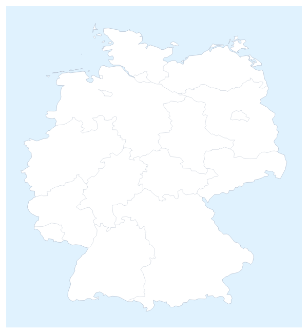
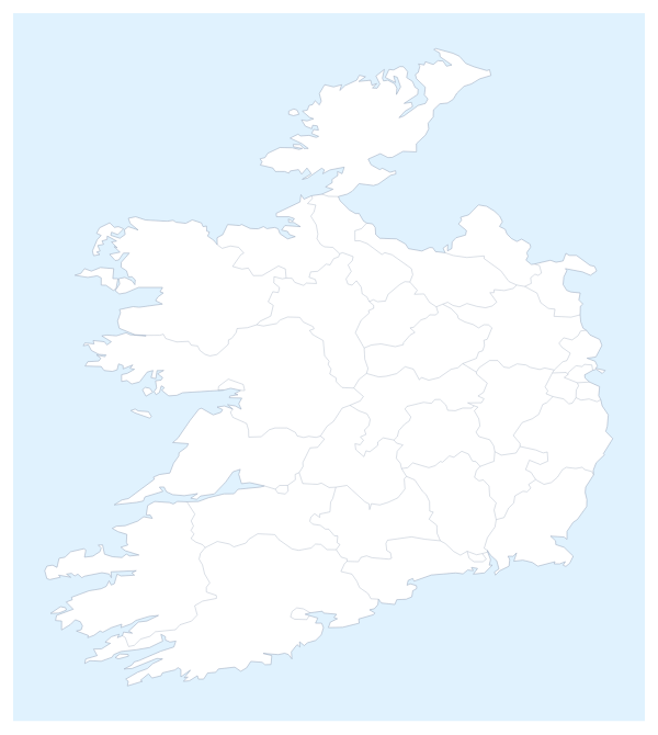
This map shows the countries usually counted as Western Europe, from the UK and Ireland to Italy. 17 members are on the map.
Maps of places in Western Europe
Questions people ask
Which countries does the map of Western Europe show?
The 17 countries this map counts as Western Europe: Andorra, Austria, Belgium, France, Germany, Ireland, Italy, Liechtenstein, Luxembourg, Monaco, the Netherlands, Portugal, San Marino, Spain, Switzerland, the United Kingdom and Vatican City. The countries around them can be drawn in grey.
How do I group countries into territories?
Give each territory one colour and click every country it covers, for example the United Kingdom and Ireland in one colour and Spain, Portugal and Italy in another. The legend gets a line per colour, which you can rename under Legend labels in the Data panel.
How do I colour a country that is too small to click?
Choose Customise this map and pick it by name from the place list in the editor, which lists all 17 countries. Monaco, San Marino and Vatican City are quicker to find there than on the map.
Can I use the map in PowerPoint, Google Slides or Keynote?
Yes. Set the canvas to the 16:9 slide size, colour the countries, then download a PNG or use Copy image in the Download dialog to paste the map onto a slide in any of the three.