Editable map of East Asia
Colour the countries, add cities and labels, and download it in minutes. Free, no sign-up.
Ideas for a map of East Asia
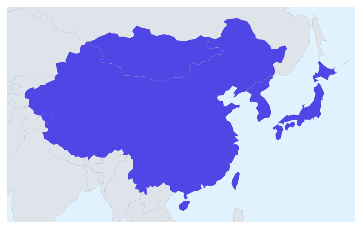
A map of East Asia usually serves a regional business plan, a supply-chain or travel slide, or a study of the area. This one opens with its eight members drawn and ready to colour, with the countries around them in grey, so you can start on the colours straight away.
With eight members, a sales team can give each its own colour, or put several under one account manager's colour, then add a legend with the managers' names. A research team can shade the members a study covers and leave the others plain. A traveller can pin cities with the city search, link them with a route and number the stops, and a class can colour all eight and show the names for a revision sheet.
Colour by clicking: choose a swatch in the bar on the map, click a member and click it again to clear it. Hong Kong and Macau are small on the page, but the place list in the editor, reached through Customise this map, picks them by name. Under the map, the quick starts Add your cities and Add a title open the pin tool and the heading. Neighbours can be switched off if you want the eight on their own. Minimal suits a board slide; Vintage suits a travel poster.
For a deck, set the canvas to 16:9 and keep to three or four colours, so the legend can be read from the back of a room. The map for PowerPoint page has more on maps in decks. A PNG suits a report, an SVG a designer and a PDF on A4, Letter or A3 a printed pack. For a wider view, start from the map of Asia.
How to do it in MapMaker
- Pick a colour in the bar on the map, click the members you want and click again to clear one.
- Choose Add your cities to open the pin tool and search for the places on your route.
- Choose Add a title, then add a legend that names each colour on the Canvas tab.
- Choose Download and save a PNG for a slide or a report, or an SVG for a design tool.
Embed this map
Paste this code into your website to show this map of East Asia, with a small credit link back to MapMaker.so.
Facts about East Asia
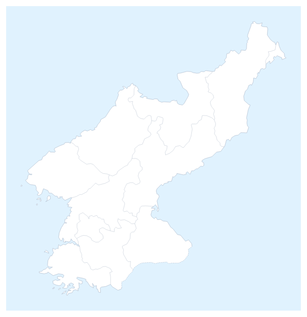
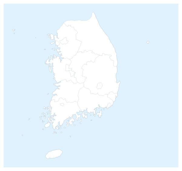
8 members are on the map. The members are China, Hong Kong, Japan, Macau, Mongolia, North Korea, South Korea and Taiwan.
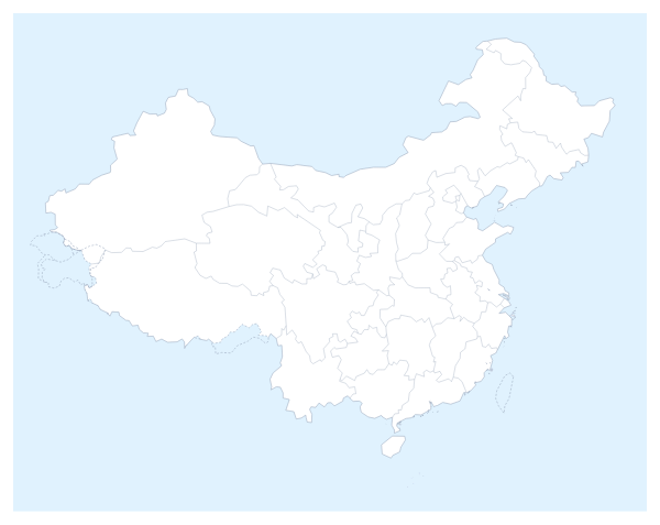
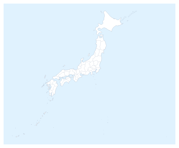
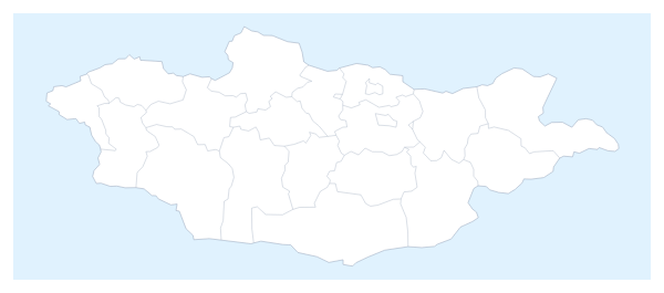
Maps of places in East Asia
Questions people ask
Which places does the map of East Asia show?
The eight members on the map: China, Hong Kong, Japan, Macau, Mongolia, North Korea, South Korea and Taiwan. The countries around them can be drawn in grey, and only the eight take colour.
How do I show the countries around East Asia?
Use the Neighbours switch in the bar on the map. It draws the surrounding countries in grey for context, and it starts on for this map. Switch it off for a map of the eight members alone.
How do I colour a member that is too small to click?
Choose Customise this map and pick it by name from the place list in the editor, which names all eight. Hong Kong and Macau are quicker to find there than on the page map.
Can I use the map in PowerPoint, Google Slides or Keynote?
Yes. Switch the canvas to 16:9 in the editor and download a PNG, or use Copy image in the Download dialog and paste the map onto a slide. Turn on Transparent if the slide has its own background.