Editable map of Eastern Europe
Colour the countries, add cities and labels, and download it in minutes. Free, no sign-up.
Ideas for a map of Eastern Europe
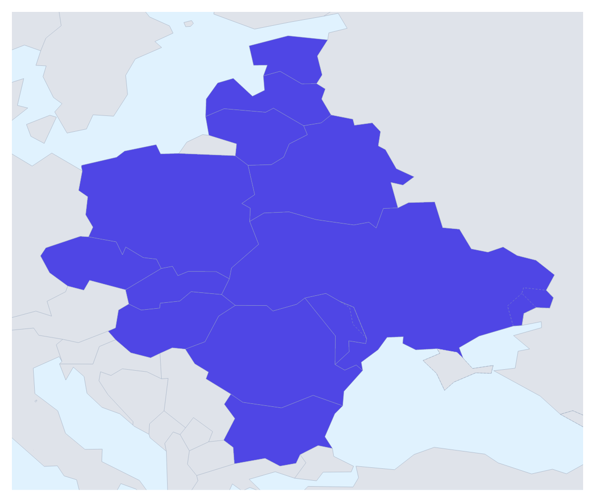
A map of Eastern Europe is mostly a business and planning map: a distributor's territories, the countries a product is launching in, the venues of a tour, a regional election chart. This one opens with the 12 countries drawn and ready to colour, with the land around them in grey, so you can get to the decisions straight away.
Territories, launches and tours
A company with two or three regional managers can give each one a colour: for instance Poland, Czechia and Slovakia in one, Hungary, Romania and Bulgaria in another, and Estonia, Latvia and Lithuania in a third. Add each manager's name to a legend and the territory map is done.
A launch plan works with stages: live, next quarter, later. A touring band or an events team can pin each venue's city with the city search and join them with a route; numbered stops show the running order. A school can colour the countries a unit covers and show their names.
Making it yours
Pick a colour in the bar on the map, click a country and click it again to clear it. The grey countries around the region give readers their bearings; Neighbours turns them off when a clean shape serves the slide better. Customise this map opens the editor with a place list that names all 12. If your report counts other countries as part of the region, add them there with Custom set… under More, then Place.
Out of the editor and into a deck
PNG or JPG suit a report, SVG goes to Illustrator, Inkscape or Figma, and PDF prints. For a regional strategy slide in PowerPoint or Keynote, set the canvas to 16:9, keep to three colours and use Copy image in the Download dialog; Dark works well on a dark theme. More on slides is on the map for PowerPoint page. For the whole continent, begin with the map of Europe.
How to do it in MapMaker
- Pick a colour in the bar on the map and click the countries of Eastern Europe that make up each territory.
- Choose Customise this map to open the editor, where the place list names all 12 countries.
- Add pins with Find a city, then a title and a legend on the Canvas tab, renaming each colour under Legend labels.
- Choose Download and save a PNG for a slide or an SVG for a design tool.
Embed this map
Paste this code into your website to show this map of Eastern Europe, with a small credit link back to MapMaker.so.
Facts about Eastern Europe
This map shows the countries usually counted as Eastern Europe; Russia, which spans Europe and Asia, is drawn in grey. 12 members are on the map. The members are Belarus, Bulgaria, Czechia, Estonia, Hungary, Latvia, Lithuania, Moldova, Poland, Romania, Slovakia and Ukraine.
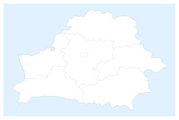
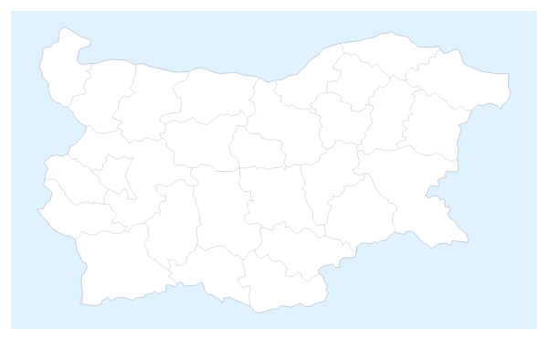
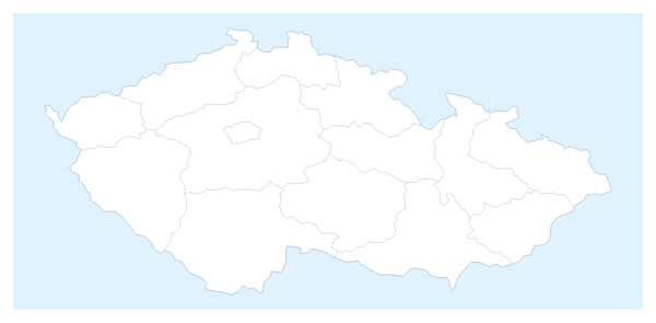
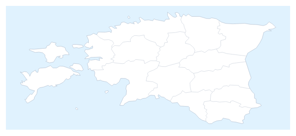
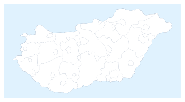
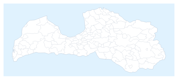
Maps of places in Eastern Europe
Questions people ask
Which countries does the map of Eastern Europe show?
12: Belarus, Bulgaria, Czechia, Estonia, Hungary, Latvia, Lithuania, Moldova, Poland, Romania, Slovakia and Ukraine. The countries around them are drawn in grey for context and take no colour.
How do I group the countries into sales territories?
Give each territory one colour and click every country it covers, such as Poland, Czechia and Slovakia in one colour and Romania and Bulgaria in another. The legend gets a line per colour, which you can rename under Legend labels in the Data panel.
Can I add my own cities to the map of Eastern Europe?
Yes. Choose Customise this map, then Add your cities, search for a city and pin it. Pins can mark warehouses, stores or event venues, and a legend can explain what each colour of pin means.
Can I switch off the grey countries around the region?
Yes. Use the Neighbours switch in the bar on the map. It starts on, and turning it off leaves only the 12 countries on the page, which gives a cleaner map for a small slide.