Editable map of Central Asia
Colour the countries, add cities and labels, and download it in minutes. Free, no sign-up.
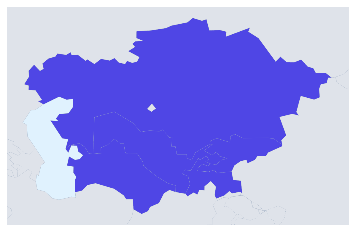
Ideas for a map of Central Asia
Five countries is a small set, which suits the way people use a map of Central Asia: one or two countries picked out for a project, a route across the lot, or a regional slide where each country gets a colour of its own. This map opens with all five drawn, and the countries around them in grey for context.
A route, a project or a market
For a trip, search for the cities you will visit, pin them and draw a route between the pins. Numbered stops show the order, and a plane icon can be switched on for a flight. A travel blogger can put that PNG at the top of an itinerary post; a family can print it for the fridge before the holiday.
A business entering the region can colour the countries by stage, one colour for where it already sells, one for where it is opening and one for later. An aid agency can pick out the countries with active projects. A pupil can give each of the five its own colour and show the names, which helps with spelling.
Making it yours
Pick a colour in the bar on the map and click a country; click it again to clear it. Neighbours draws the surrounding countries in grey, and Sea turns the water white. Customise this map opens the editor, where the place list names all five, and Add a title starts the title field ready to type. Vintage suits a travel poster, Minimal a market slide.
For slides
Set the canvas to 16:9. A five-country slide needs very little: give the countries two or three colours, add a short legend and use Copy image to paste the map in. If your deck has a dark theme, switch to the Dark style or turn on Transparent for the PNG. The map for PowerPoint page has more. To place the region among its neighbours, begin with the map of Asia.
How to do it in MapMaker
- Pick a colour in the bar on the map and click the countries of Central Asia you want, keeping Neighbours on for context.
- Choose Customise this map to open the editor, where the place list names all five countries.
- Add cities with Find a city, link them with a route and write a title on the Canvas tab.
- Choose Download and save a PNG for a post or slide, or an SVG for a design tool.
Embed this map
Paste this code into your website to show this map of Central Asia, with a small credit link back to MapMaker.so.
Facts about Central Asia
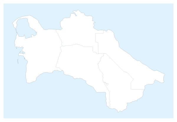
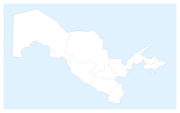
5 members are on the map. The members are Kazakhstan, Kyrgyzstan, Tajikistan, Turkmenistan and Uzbekistan.
Maps of places in Central Asia
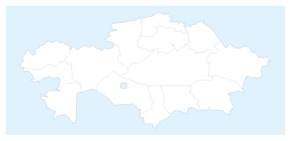
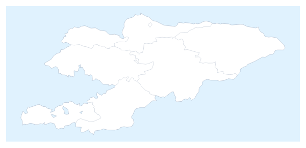
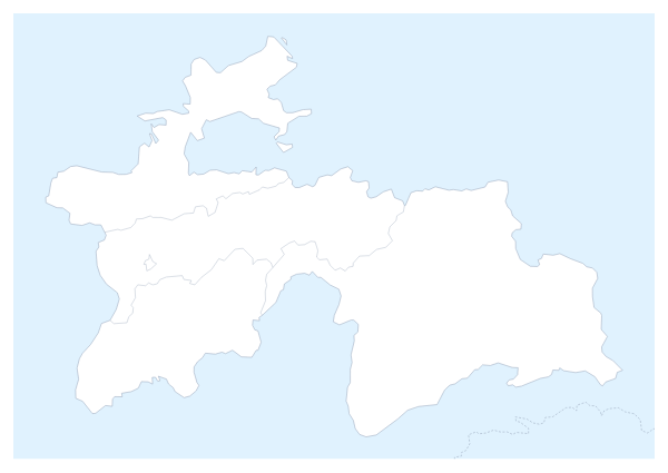
Questions people ask
Which countries does the map of Central Asia show?
Five: Kazakhstan, Kyrgyzstan, Tajikistan, Turkmenistan and Uzbekistan. The countries around them can be drawn in grey with the Neighbours switch, and only the five take colour.
Can I draw a route through Central Asia?
Yes. Pin each stop with Find a city in the editor and join the pins with the Route tool. Numbered stops show the order, and a plane icon can be switched on for a flight.
Can I highlight just one or two countries?
Yes. Pick a colour in the bar on the map and click only the countries you need, for example Kazakhstan and Uzbekistan. The rest keep the plain land colour, and a second click clears a country.
Which file formats can I download?
PNG and JPG for documents and slides, SVG for Illustrator, Inkscape or Figma, and PDF on A4, Letter or A3 for print. Choose the format in the Download dialog.