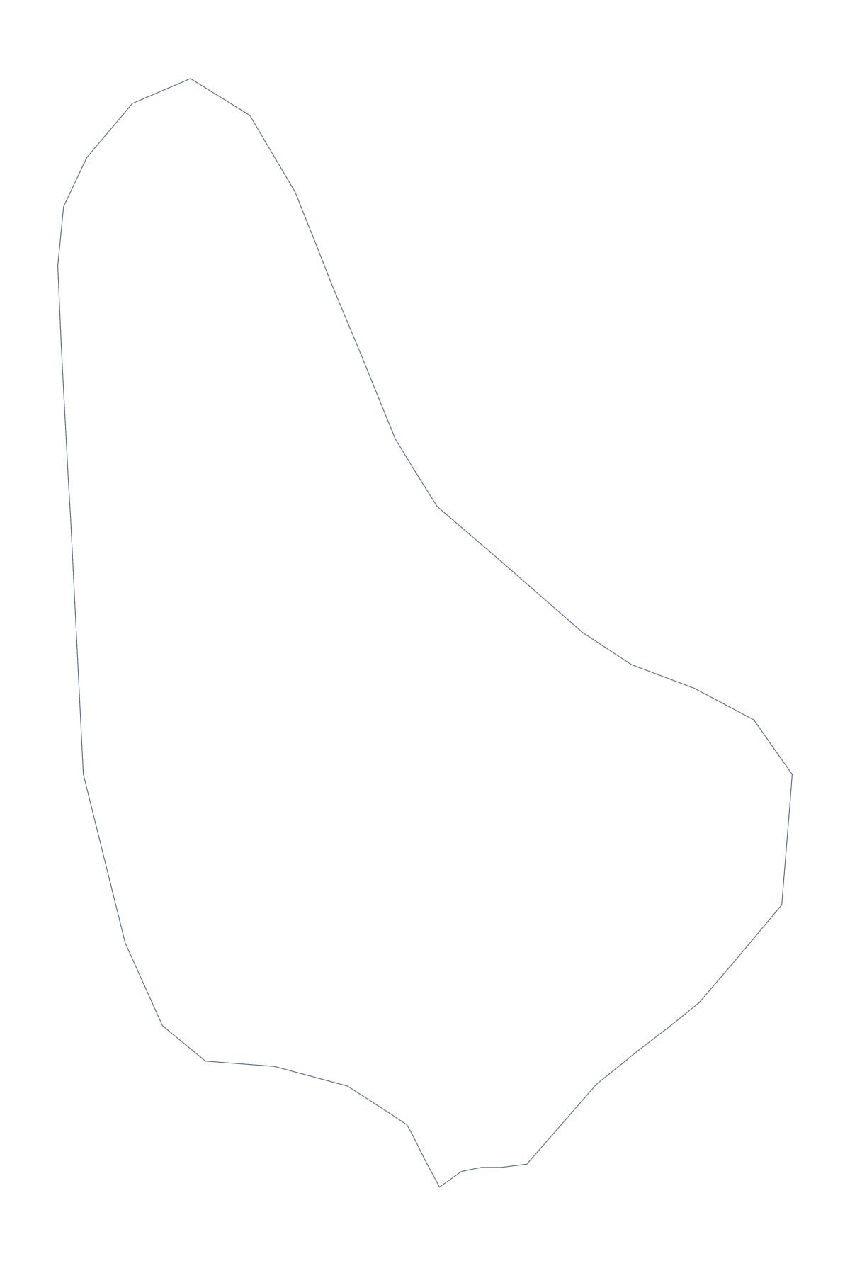
Blank map of Barbados
The outline, free as a PNG, SVG or PDF. Label it, colour it in or drop it into a slide.
Using a blank map of Barbados
For Barbados the question is usually how much to draw inside the outline. Outline only is the country with nothing inside it, which suits a header, a logo sketch or a cut-out. With borders adds the 11 administrative areas, and it is the political blank map. Either one can be a PNG with a transparent background, an SVG or a PDF for A4 or Letter.
Small jobs the outline does well
Make a cover. Place the PNG on a report cover or the front of a folder and let the colour behind it show through, so the shape reads cleanly in a single colour.
Make a card. Drop the outline into a template for a thank-you card or an invitation, with a text box of your own for the wording.
Make a stencil. Import the SVG into a cutting program or print it, and trace the shape for a craft project or a classroom display.
With borders, for a poster
The 11 areas are drawn with no names. In a design tool, give Christ Church, Saint Michael and the rest a fill each from one palette for a poster or a slide background, or thin the lines to a hairline for a cover. The list on this page gives the names if you add captions of your own.
Which file
PNG for documents and slides, SVG for design tools or for scaling up, PDF for A4 or Letter. The PDF carries a short line at the foot saying where it came from. To print with colour and ink choices, use the printable map of Barbados. When you want names, a title or colours, Customise this map opens the editor.
How to do it in MapMaker
- Pick Outline only for a cover or a stencil, or With borders for the 11 areas.
- Choose PNG, SVG, or PDF, A4 or PDF, Letter.
- Place the file in your document and drag a corner to resize it.
- Choose Customise this map if you want names, a title or colours.
The 11 administrative areas on the map
A key for labelling the map by hand.
- Christ Church
- Saint Andrew
- Saint George
- Saint James
- Saint John
- Saint Joseph
- Saint Lucy
- Saint Michael
- Saint Peter
- Saint Philip
- Saint Thomas
Facts about Barbados
Barbados is in the Caribbean. The capital is Bridgetown. The population is about 290,000 (2019 estimate). Barbados has an area of about 450 km². The map divides it into 11 administrative areas.
Questions people ask
Is there a blank map of Barbados' administrative areas?
Yes. The With borders version draws all 11 administrative areas inside the outline, with no names. The list further down this page has the names, so you can label the map yourself and check it.
Can I open the SVG in Illustrator, Inkscape or Figma?
Yes. The SVG is a vector file, so the outline of Barbados opens cleanly in all three and can be recoloured, traced or scaled as far as you like without losing sharpness.
How is this different from the printable map of Barbados?
This page gives you the shape as a file to use in your own worksheet, slide or design. The printable page has ready-made PDFs for a class set, with paper and ink choices.
Can I colour the map in before I download it?
Not on this page. The blank map does not change. To colour areas, choose Customise this map and do it in the editor, or colour the printable version before printing.