Blank map of Cabo Verde
The outline, free as a PNG, SVG or PDF. Label it, colour it in or drop it into a slide.
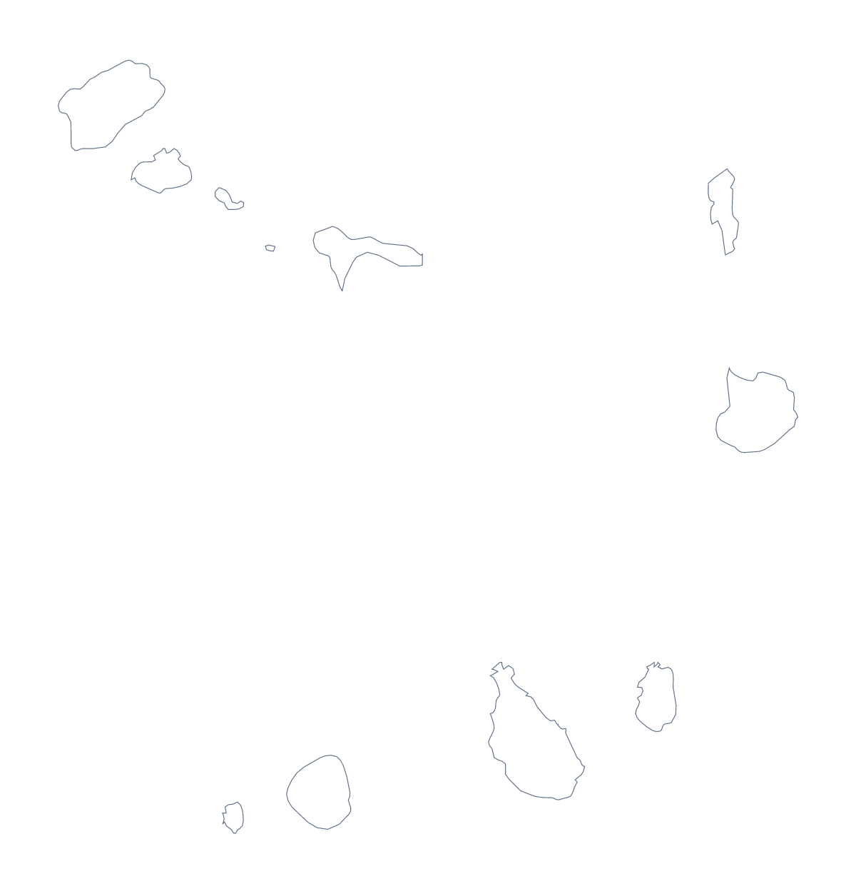
Using a blank map of Cabo Verde
An outline this small is easy to enlarge, trace and reuse. Cabo Verde comes as Outline only, a single shape, and as With borders, which draws its 22 administrative areas, each a PNG with a transparent background, an SVG or a PDF for A4 or Letter. The political blank map is the With borders version, with no names.
For a presentation about the islands, drop the PNG of the version with borders onto a slide and set the areas the slide discusses against the rest. Because several names are long, put them in a caption beside the map rather than on it, and take the spellings from the list further down this page.
For a design, the SVG is the better file. Open it in Illustrator, Inkscape or Figma, scale it to poster size without blurring and recolour each area on its own. Because the shape is small and has no names to get in the way, it also works as a motif on a card, a label or a cover, in one flat colour on a coloured background.
For a slide, place the PNG over any colour, and the shape stays crisp. Choose the PDF when you want an A4 or Letter copy that prints at 100%.
When you need names, pins or a title on the map itself, Customise this map opens the same outline in the editor. The editable map of Cabo Verde has the bar for colouring areas, and the printable map of Cabo Verde has the colour and ink choices.
How to do it in MapMaker
- Choose Outline only for Cabo Verde as one shape, or With borders for its 22 administrative areas.
- Download the PNG for a slide or worksheet, the SVG for a design tool or a PDF for A4 or Letter.
- Place the file in your own layout and add captions beside the areas you want shown.
- Copy the spellings from the list further down this page.
The 22 administrative areas on the map
A key for labelling the map by hand.
- Boa Vista
- Brava
- Maio
- Mosteiros
- Paul
- Porto Novo
- Praia
- Ribeira Brava
- Ribeira Grande
- Ribeira Grande de Santiago
- Sal
- Santa Catarina
- Santa Catarina do Fogo
- Santa Cruz
- São Domingos
- São Filipe
- São Lourenço dos Órgãos
- São Miguel
- São Salvador do Mundo
- São Vicente
- Tarrafal
- Tarrafal de São Nicolau
Facts about Cabo Verde
Cabo Verde is in Western Africa. The capital is Praia. The population is about 550,000 (2019 estimate). Cabo Verde has an area of about 3,940 km². The largest cities are Praia and Mindelo. The map divides it into 22 administrative areas.
Questions people ask
What is the difference between Outline only and With borders?
Outline only is Cabo Verde as one shape with nothing inside it. With borders adds the lines of its 22 administrative areas. Neither has names.
Can I make the outline bigger without it going blurry?
Yes, with the SVG or the PDF. Both are vector files, so the lines of Cabo Verde stay sharp when you scale the map up to the size of a poster.
Is there a political blank map of Cabo Verde?
Yes: it is the With borders version. It draws the 22 administrative areas with no names, and the list further down this page gives the names to check against.
Does the PNG have a transparent background?
Yes. The PNG has no background colour of its own, so the colour of your slide or page shows through around Cabo Verde.