Blank map of the Comoros
The outline, free as a PNG, SVG or PDF. Label it, colour it in or drop it into a slide.
Using a blank map of the Comoros
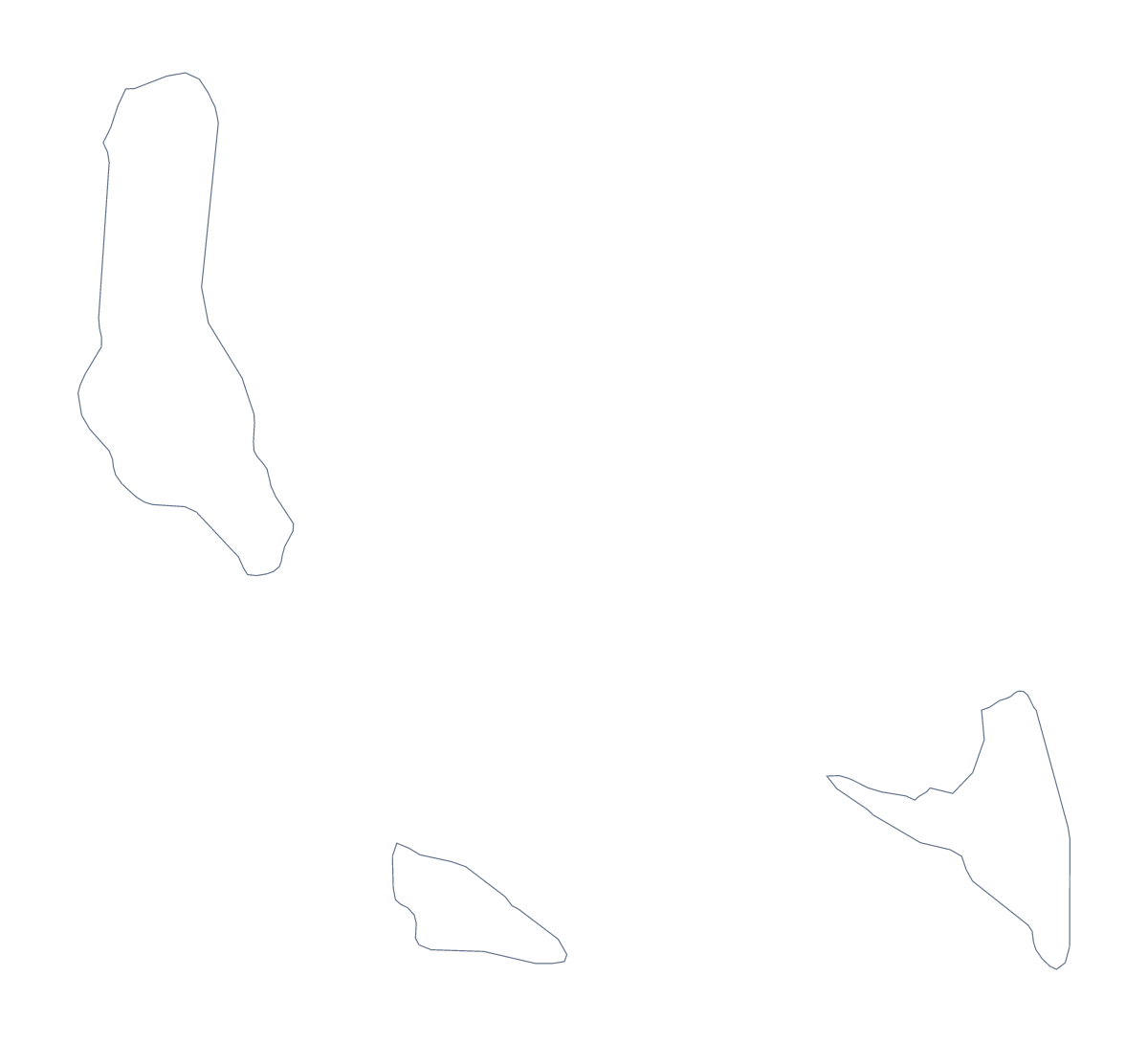
For a small outline, a blank map is mostly a design asset: a shape to place on a slide, trace into an illustration or label by hand. Two versions: Outline only, and With borders, which draws the 3 administrative areas.
Placing a small shape well
A map this size needs room around it. On a slide, put the PNG on a plain background and give it a title and a short line beside it. The background is transparent, so you can place it on a photograph, a block of colour or a pattern from the slide's own theme. In a design tool, the SVG can be scaled up until the shape fills a poster, with its edges as sharp as at small size.
Three shapes beside a table
The three areas make a tidy slide or report page. Put the With borders PNG beside a table with one row for each of Andjazîdja, Anjouan and Mohéli, and spell the names from the list of areas lower on this page. In a design tool, the SVG lets each area take its own fill to show the split of three.
Which shape to take
Take With borders when you need three shapes to refer to, and Outline only when you want a silhouette to colour or cut out for a collage. Neither carries names.
Files and more
PNG for worksheets and slides, SVG for design and enlargement, PDF for A4 or Letter. Customise this map opens the outline in the editor for a title, names or a pin on Moroni. A version to print with ink choices lives on the printable map of the Comoros.
How to do it in MapMaker
- Choose With borders to show the 3 areas, or Outline only for the whole shape.
- Download the PNG for a slide or a worksheet, the SVG for a design tool or a PDF.
- Place it on a plain background and leave space around it for a title.
- Set a table beside the map with a row for each area, spelling the names from the list further down.
- For a title, names or a pin on Moroni, choose Customise this map.
The 3 administrative areas on the map
A key for labelling the map by hand.
- Andjazîdja
- Anjouan
- Mohéli
Facts about the Comoros
The Comoros is in Eastern Africa. The capital is Moroni. The population is about 850,000 (2019 estimate). The Comoros has an area of about 1,680 km². The map divides it into 3 administrative areas.
Questions people ask
What does the With borders version show for the Comoros?
It draws the 3 administrative areas, Andjazîdja, Anjouan and Mohéli, as separate shapes with no names. Outline only shows the shape of the whole place with nothing inside it.
Is there a political blank map of the Comoros?
Yes. It is the With borders version, with the three areas drawn and none named. The names are listed further down this page for checking.
Which file should I use in a slide or a design?
Use the PNG for a slide: its background is transparent, so the slide's colour shows around the shape. Use the SVG for a design tool or a large print, since it scales up without blurring.
Can I show the countries around the Comoros?
Not on this page. Choose Customise this map to open the outline in the editor, and add a title, names or pins there.