Blank map of Dominica
The outline, free as a PNG, SVG or PDF. Label it, colour it in or drop it into a slide.
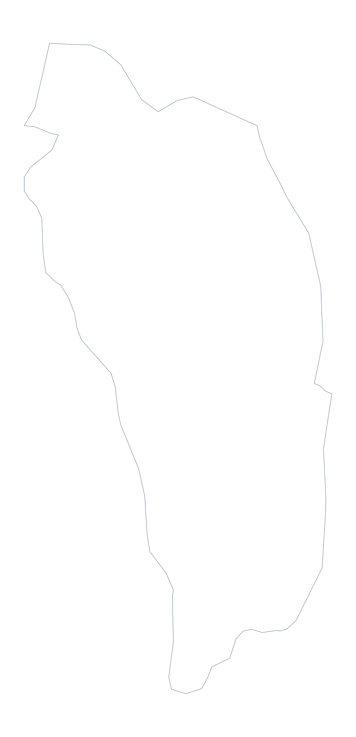
Using a blank map of Dominica
Anyone who wants an outline of Dominica usually wants it for something small: a corner of a leaflet, a family tree, a school display or a set of cards. This page offers the shape as a PNG on a transparent background, an SVG or a PDF for A4 or Letter. Outline only is the country on its own, and With borders adds its 10 administrative areas.
Display boards
In an SVG editor, colour a single area and leave the rest pale; export it and repeat for each of the 10, then lay the images in a row on a slide or a poster to show the areas one at a time. The list on this page keeps the order.
For a display, enlarge the SVG until the outline fills a board and let each person add their own captions in coloured card.
A shape for a leaflet or a family map
Place the PNG of Outline only in a leaflet and add a marker and a caption for Roseau, the city on the fact sheet. A family tree that wants to show where relatives lived can take With borders, with a colour dropped on the area for each branch.
Which version
With borders is the political blank map of Dominica: the areas drawn in, with no names. Outline only suits a silhouette, a stamp or a design where inner lines would crowd a small shape.
When you need print choices, go to the printable map of Dominica; for names or colour, choose Customise this map, or use the editable map of Dominica.
How to do it in MapMaker
- Choose Outline only for a leaflet or a stamp, or With borders for the 10 areas.
- Pick PNG for a document, SVG for a design tool or PDF, A4 or PDF, Letter.
- Open the SVG, colour a single area for each image and export it.
- Choose Customise this map for names, colours or a title.
The 10 administrative areas on the map
A key for labelling the map by hand.
- Saint Andrew
- Saint David
- Saint George
- Saint John
- Saint Joseph
- Saint Luke
- Saint Mark
- Saint Patrick
- Saint Paul
- Saint Peter
Facts about Dominica
Dominica is in the Caribbean. The capital is Roseau. The population is about 72,000 (2019 estimate). Dominica has an area of about 730 km². The map divides it into 10 administrative areas.
Questions people ask
Is there a political blank map of Dominica?
Yes. The With borders version draws the 10 administrative areas inside the outline with no names, so it is the political blank map. Outline only is the shape of the country with nothing inside.
How many areas does the blank map show?
The With borders version shows 10 administrative areas, with no names. The list on this page gives them, from Saint Andrew to Saint Peter, so it works as a key for a labelling task.
Which file should I use in a worksheet, a slide or a design?
Use the PNG in a worksheet or a slide, the SVG in a design tool such as Illustrator, Inkscape or Figma, and the PDF for A4 or Letter. All three are drawn from the same outline.
Do I need to sign up to download it?
No. The files are free, with no account to make. Choose a version, choose a file type and download.