Blank map of Fiji
The outline, free as a PNG, SVG or PDF. Label it, colour it in or drop it into a slide.
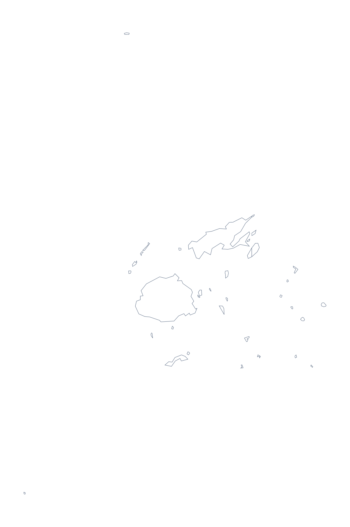
Using a blank map of Fiji
Reach for this page when you need the shape of Fiji for something that already exists: a slide on a regional team, a revision sheet, a poster. Outline only gives the whole shape; With borders adds the lines between the 5 administrative areas. Either is a transparent PNG, an SVG or a PDF.
A one-page handout
Place With borders in a document and leave room beside it for a small table of the five areas: Central, Eastern, Northern, Rotuma and Western. With so few, the whole page fits on one sheet, with space left for a second table of the cities Suva, Lautoka, Nandi and Labasa. The list further down this page gives the names to copy.
A slide with the shape behind it
Put the PNG at the side of a slide and the slide's own colour shows through the transparent background, so a heading and a few figures can sit beside it. Resize it from a corner and the proportions hold. If you prefer to change the line weight or fill, open the SVG in a design tool and restyle it there.
Which version
With borders is the political blank map of Fiji: its areas and no names. Choose Outline only when you want a silhouette, or when pupils will draw their own lines. A PDF on A4 or Letter prints at 100%; for black and white or colouring on the page before printing, use the printable map of Fiji. When a map needs names or pins, choose Customise this map.
How to do it in MapMaker
- Choose With borders to show the 5 areas, or Outline only for the shape alone.
- Take the PNG for a worksheet or slide, or the SVG for a design tool.
- Place the map in your own document and copy the area names from the list on this page.
- Choose Customise this map if you want names or a title on the map, then download from the editor.
The 5 administrative areas on the map
A key for labelling the map by hand.
- Central
- Eastern
- Northern
- Rotuma
- Western
Facts about Fiji
Fiji is in Melanesia. The capital is Suva. The population is about 890,000 (2019 estimate). Fiji has an area of about 19,000 km². The largest cities are Suva, Lautoka, Nandi and Labasa. The map divides it into 5 administrative areas.
Questions people ask
Is there a political blank map of Fiji?
Yes, it is the With borders version, which draws the 5 administrative areas with no names. Outline only is the shape of Fiji alone.
Does the blank map show the names of the areas?
No. Blank maps carry no names, so you can label them yourself. The list of the 5 areas further down this page names each one and serves as an answer key.
Can I open the SVG in Illustrator, Inkscape or Figma?
Yes. The SVG is a vector file, so the outline of Fiji and its area lines stay sharp at any size and can be recoloured or traced in a design tool.
How do I add names or my own colours?
Choose Customise this map. It opens the same outline in the editor, where you can show names, colour areas, add pins and a title, then download a PNG, JPG, SVG or PDF.