Blank map of Grenada
The outline, free as a PNG, SVG or PDF. Label it, colour it in or drop it into a slide.
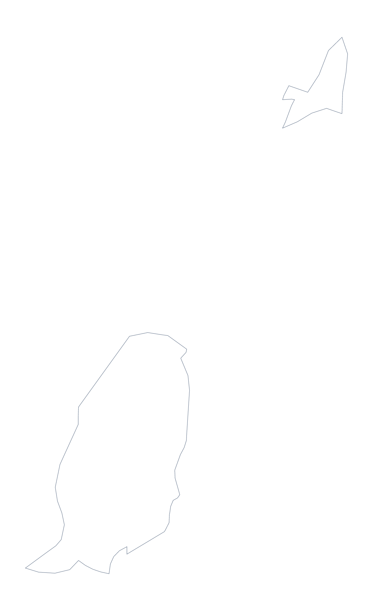
Using a blank map of Grenada
Grenada is a small shape, which suits small jobs: an invitation, a name tag for a trip, a corner of a slide, a card to cut out. Outline only is the shape with nothing inside it, and With borders adds its 7 administrative areas. Both come as a PNG, an SVG or a PDF.
Cards, invitations and slides
A transparent PNG of the outline can be dropped onto an invitation in your own design, with the date and venue set beside it. The same file works in a corner of a slide about a place, with a few figures on the other side.
For something to hold, print the PDF on card, cut out the outline and use it as a template to trace on to fabric or paper. The With borders version helps when the cut-out is split into seven pieces for a puzzle.
A set of seven pieces
In a design tool, the With borders SVG gives Grenada as 7 separate shapes. Pull them apart for a diagram, or give each its own colour for a key on a poster. Carriacou and Petite Martinique is one of the 7, and the list on this page gives the name of each.
Which version, which file
The political blank map of Grenada is With borders, the area lines with no names. Outline only is the silhouette for cut-outs and covers. PNG for documents and slides, SVG for design tools such as Illustrator, Inkscape or Figma, where the shape scales to a poster without blurring, and PDF for A4 or Letter. For names and pins, choose Customise this map; for print choices, see the printable map of Grenada.
How to do it in MapMaker
- Choose Outline only for a cut-out or cover, or With borders for the 7 areas.
- Pick PNG for an invitation or slide, SVG for a design tool or a PDF for A4 or Letter.
- Place the file on your design and resize it from a corner so the shape keeps its proportions.
- For a pulled-apart diagram, move each area in your design tool and take the captions from the list on this page.
- Choose Customise this map if you need names, colours or a title.
The 7 administrative areas on the map
A key for labelling the map by hand.
- Carriacou and Petite Martinique
- Saint Andrew
- Saint David
- Saint George
- Saint John
- Saint Mark
- Saint Patrick
Facts about Grenada
Grenada is in the Caribbean. The capital is Saint George's. The population is about 110,000 (2019 estimate). Grenada has an area of about 350 km². The map divides it into 7 administrative areas.
Questions people ask
What is the difference between Outline only and With borders?
Outline only is the shape of Grenada with nothing inside. With borders adds the lines of its 7 administrative areas, so it is the political blank map. Neither carries names.
Does the PNG have a transparent background?
Yes. Everything around Grenada is see-through, so it can sit on a coloured slide, an invitation or a poster and take that colour.
Is there a blank map of Grenada's areas on their own?
Yes: the With borders version. It draws the 7 administrative areas, including Carriacou and Petite Martinique, and the list further down this page names each one.