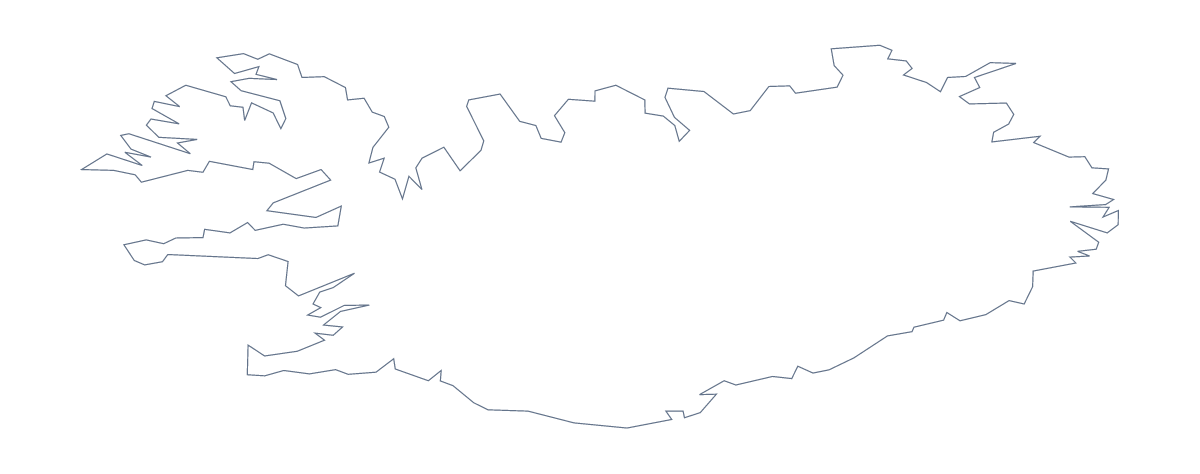
Blank map of Iceland
The outline, free as a PNG, SVG or PDF. Label it, colour it in or drop it into a slide.
Using a blank map of Iceland
Iceland's outline is a useful shape to put on a page of your own: a report cover, a title slide, a worksheet with boxes to fill. This page gives you the shape as a file. Outline only is the country on its own, and With borders adds its 9 administrative areas. Each comes as a PNG, an SVG or a PDF.
On a slide or a cover
The PNG has a transparent background, so Iceland takes the colour of whatever it sits on. Put it beside a title and three figures for a market slide, or enlarge it on a cover page and let the text run alongside. Designers can open the SVG in Illustrator, Inkscape or Figma and restyle the shape at any size without blurring it.
Labelling and quizzes
Place the With borders PNG in a worksheet and number the areas you want named, perhaps Northwestern, Southern and Austurland. The list further down this page is the answer sheet. For a quicker starter, show Outline only on a slide with no title and ask pupils which country it is. Keep the slides and the same set works again with the next class. Younger children can colour the whole shape in however they like.
Which version
The political blank map of Iceland is the With borders version: its areas drawn in, no names. Choose Outline only for a silhouette or a logo sketch. When you need names or colours, Customise this map opens the editor; for print choices such as black and white, see the printable map of Iceland.
How to do it in MapMaker
- Choose With borders for the 9 administrative areas, or Outline only for the whole shape.
- Download the PNG for a slide or worksheet, or the SVG for a design tool.
- Drop the file onto your page and drag a corner to resize it, so the proportions hold.
- Number the areas you want named, and check pupils' answers against the list on this page.
The 9 administrative areas on the map
A key for labelling the map by hand.
- Austurland
- Capital
- Northeastern
- Northwestern
- Reykjavík
- Southern
- Southern Peninsula
- Western
- Westfjords
Facts about Iceland
Iceland is in Northern Europe. The capital is Reykjavík. The population is about 360,000 (2019 estimate). Iceland has an area of about 102,000 km². The largest cities are Reykjavík, Akureyri, Keflavík, Selfoss and Sauðárkrókur. The map divides it into 9 administrative areas.
Questions people ask
What is the difference between Outline only and With borders?
Outline only is Iceland as one shape. With borders draws its 9 administrative areas inside it, which makes it the political blank map of Iceland. Neither version has names on it.
Which file should I use in a worksheet, a slide or a design?
Use the PNG in a worksheet or slide, because its background is transparent. Take the SVG when a design tool needs the shape, and a PDF when you want the outline ready for A4 or Letter.
How many areas does the blank map of Iceland show?
The With borders version shows 9 administrative areas, among them Austurland, Westfjords and Southern Peninsula. Nothing on the map is named; the list further down this page is the key.
How do I add names, a title or my own colours?
Not on this page: the files are blank by design. Choose Customise this map to open the same outline in the editor, where you can show names, colour areas, add a title and download again.