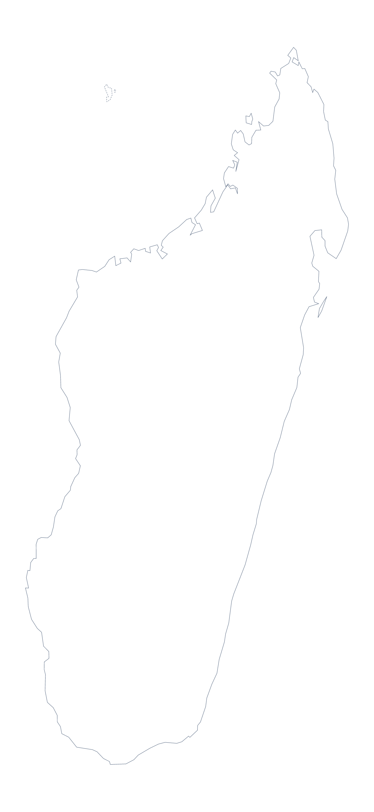
Blank map of Madagascar
The outline, free as a PNG, SVG or PDF. Label it, colour it in or drop it into a slide.
Using a blank map of Madagascar
Madagascar's outline is the starting point for many things people make: a project cover, a slide on the country, a quiz sheet. This page has the shape in two versions. Outline only is the plain shape. With borders draws its 22 regions. Each is a PNG, an SVG or a PDF.
A numbered regional page
A regional page can use a numbered map. Place the With borders PNG in a document and add numbers to six regions, say Androy, Sava, Menabe, Diana, Ihorombe and Melaky, then match each number to a row in a table of figures. The list further down this page gives the spellings. For a simpler cover, Outline only with the title above it is enough.
Cover pages and posters
On a project cover the PNG is easiest: the transparent background takes whatever colour you place it on, so one file serves a blue cover and a cream one. For a poster, open the SVG in Illustrator, Inkscape or Figma and fill the 22 regions with a palette of your own, or keep the outline and thicken the line. The SVG scales to any size without blurring.
Version and file
The political blank map of Madagascar is the With borders version: regions drawn, no names. Choose Outline only for a silhouette. Take the PNG for worksheets and slides, the SVG for design tools and a PDF for A4 or Letter. Print settings are on the printable map of Madagascar. To put names, pins or a title on the map, choose Customise this map.
How to do it in MapMaker
- Choose With borders for the 22 regions, or Outline only for the shape alone.
- Download the PNG, SVG, PDF, A4 or PDF, Letter that suits your tool.
- Place it in your document and add numbers beside the regions your page covers.
- Spell the region names from the list further down this page.
- Choose Customise this map for names, colours or a title.
The 22 regions on the map
A key for labelling the map by hand.
- Amoron'i Mania
- Androy
- Anosy
- Antananarivo
- Antananarivo
- Antananarivo
- Antananarivo
- Atsimo-Andrefana
- Atsimo-Atsinanana
- Betsiboka
- Boeny
- Diana
- Haute Matsiatra
- Ihorombe
- Melaky
- Menabe
- Sava
- Sofia
- Toamasina
- Toamasina
- Toamasina
- Vatovavy-Fitovinany
Facts about Madagascar
Madagascar is in Eastern Africa. The capital is Antananarivo. The population is about 27 million (2019 estimate). Madagascar has an area of about 595,000 km². The largest cities are Antananarivo, Antsirabe, Toamasina, Fianarantsoa and Mahajanga. The map divides it into 22 regions.
Questions people ask
Is there a political blank map of Madagascar?
Yes. It is the With borders version, which draws the lines between the 22 regions and leaves them unnamed. The list of regions further down this page is the key.
How many regions does the blank map show?
The With borders version draws 22 regions. Outline only shows the shape of Madagascar with no lines inside it. Neither has names, which is what makes it a blank map.
Can I make the outline bigger without it going blurry?
Yes. Use the SVG, or the PDF, which are vector files. The PNG is a picture, so it is best at about the size you place it.
How do I add names, a title or my own colours?
Choose Customise this map. The editor opens the same outline, and you can show names, colour regions, add a title on the Canvas tab and download from there.