Blank map of Nauru
The outline, free as a PNG, SVG or PDF. Label it, colour it in or drop it into a slide.
Using a blank map of Nauru
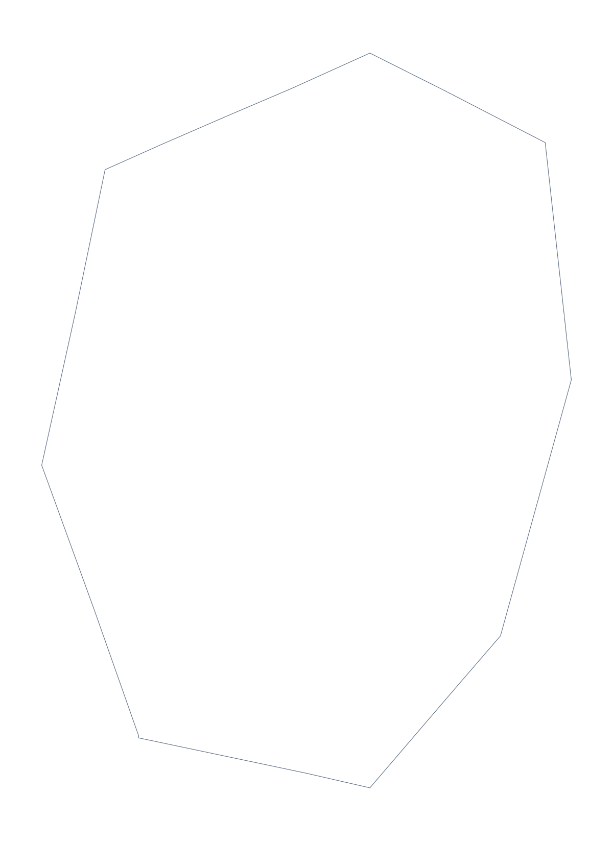
Nauru's blank map comes in two versions: Outline only, the shape on its own, and With borders, which draws in the 14 administrative areas. Each is a PNG on a transparent background, an SVG or a PDF. Choose by what you are building rather than by the file: the areas are the difference.
A long list, a short caption
The list of areas further down this page names all 14, and with that many a handout needs a plan. Put With borders in a document and give a caption only to the areas the page is about, leaving the rest as plain shapes. A short note under the map can carry the rest.
In a design
In Figma, Inkscape or Illustrator, open the SVG of With borders and give each area its own fill to build a graphic that groups them: three colours for three teams, say. Outline only is the better base for a badge, a watermark or an icon. The vector lines stay sharp at any size, so the same file serves a small icon and a large poster. In a document, the PNG sits on any background colour, which is handy for a handout with a tinted box.
The political blank map
The political blank map of Nauru is With borders, the areas with no names. If you need names, colours or a title on the map itself, choose Customise this map, which opens the same outline in the editor. For printing in black and white, use the printable map of Nauru.
How to do it in MapMaker
- Choose With borders to show the 14 areas, or Outline only for the whole shape.
- Take the PNG for a slide or worksheet, the SVG for a design tool or PDF, A4 or PDF, Letter.
- Place the file on your page and resize it from a corner so the shape stays in proportion.
- Write captions for the areas you want to point out, copying the names from the list on this page.
- Choose Customise this map to add names or colours, then download from the editor.
The 14 administrative areas on the map
A key for labelling the map by hand.
- Aiwo
- Anabar
- Anetan
- Anibare
- Baiti
- Boe
- Buada
- Denigomodu
- Ewa
- Ijuw
- Meneng
- Nibok
- Uaboe
- Yaren
Facts about Nauru
Nauru is in Micronesia. The population is about 13,000 (2019 estimate). The map divides it into 14 administrative areas.
Questions people ask
Is there a political blank map of Nauru?
Yes. It is the With borders version, which draws the 14 administrative areas with no names. Outline only is the shape of Nauru alone, with nothing inside it.
How many areas does the blank map show?
The With borders version shows 14 administrative areas, and the list further down this page names each one. Outline only shows none, just the shape.
Can I make the outline bigger without it going blurry?
Yes. Use the SVG, a vector file, and scale it to any size in Illustrator, Inkscape or Figma. The lines stay sharp, and the area lines can be restyled.
Does the PNG have a transparent background?
Yes. Everything around the shape is see-through, so it takes the colour of the slide, page or poster you place it on.