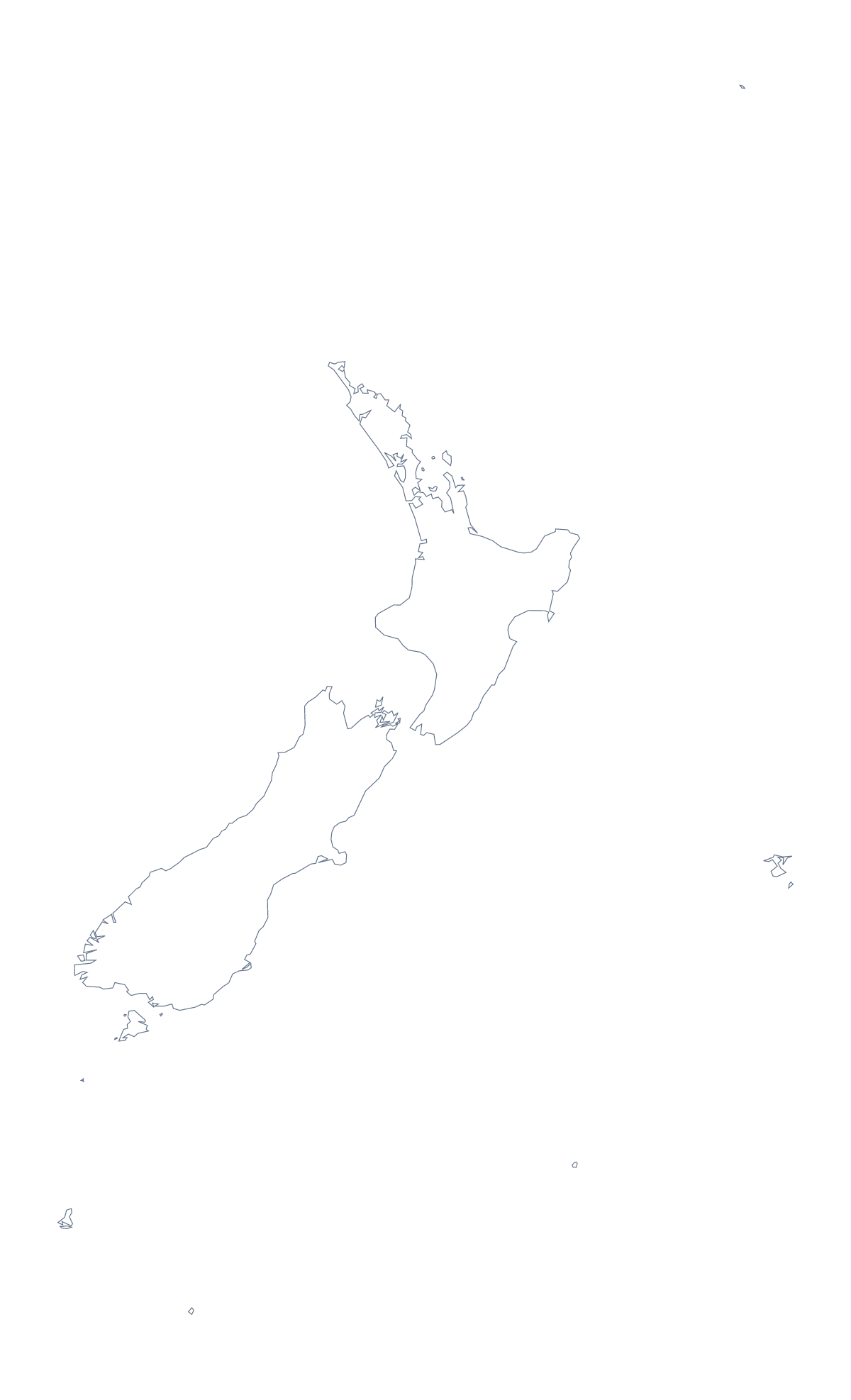
Blank map of New Zealand
The outline, free as a PNG, SVG or PDF. Label it, colour it in or drop it into a slide.
Using a blank map of New Zealand
New Zealand is a map to pick the version for with care. Outline only is the whole shape, handy for a logo sketch, a badge or a cover. With borders draws all 24 administrative areas and is the one for labelling or a territory slide. Both come as a PNG on a transparent background, an SVG or a PDF.
A territory slide
Put the transparent PNG of With borders on a slide and the slide's colour shows through, so a heading and a legend can sit beside it. Shade the areas with your presentation's shape tools, one colour for each team. In Figma, Inkscape or Illustrator, open the SVG and set a fill for each area instead; because the lines stay sharp, it will still look right on a large screen.
A reference page
For a briefing or a school project, place With borders in a document next to a table of the 24 areas. The list further down this page gives every name to copy. The groups of islands, such as the Antipodes Islands, the Campbell Islands and the Three Kings Islands, may need a note of their own beside Otago, Southland and Canterbury. A one-colour fill on the plain outline can show where a project is based.
The political blank map
The political blank map of New Zealand is With borders: lines and no names. When the map needs names, colours or pins, choose Customise this map, which opens the same outline in the editor. For print choices, such as black and white or an A4 copy coloured on the page first, use the printable map of New Zealand.
How to do it in MapMaker
- Choose With borders for the 24 areas, or Outline only for the whole shape.
- Take the PNG for a slide or worksheet, the SVG for a design tool or a PDF for A4 or Letter.
- Place the file on your page and resize it from a corner so the shape keeps its proportions.
- Copy the names of the areas you need from the list on this page.
- Choose Customise this map to add names, pins or colour, then download from the editor.
The 24 administrative areas on the map
A key for labelling the map by hand.
- Antipodes Islands
- Auckland
- Auckland Islands
- Bay of Plenty
- Campbell Islands
- Canterbury
- Chatham Islands
- Gisborne
- Hawke's Bay
- Kermadec Islands
- Manawatū-Whanganui
- Marlborough
- Nelson
- Northland
- Otago
- Snares Islands
- Southland
- Taranaki
- Tasman
- Three Kings Islands
- Tokelau
- Waikato
- Wellington
- West Coast
Facts about New Zealand
New Zealand is in Australia and New Zealand. The capital is Wellington. The population is about 4.9 million (2019 estimate). New Zealand has an area of about 268,000 km². The largest cities are Auckland, Wellington, Manukau, Christchurch and Waitakere. The map divides it into 24 administrative areas.
Questions people ask
Is there a political blank map of New Zealand?
Yes, it is the With borders version: the 24 administrative areas drawn in, with no names. Outline only is the shape of New Zealand with nothing inside it.
Does the blank map show the names of the areas?
No. Blank maps carry no names, so you can label them yourself. The list of the 24 areas further down this page names each one and serves as an answer key.
Which file should I use in a worksheet, a slide or a design?
Use the PNG for a worksheet or slide, the SVG for a design tool or anything that will be enlarged, and the PDF to print on A4 or Letter.
Can I colour the map in before I download it?
Not on this page, which has the files as they are. Choose Customise this map to colour areas in the editor and download a PNG, JPG or SVG, or use the printable page for a coloured PDF.