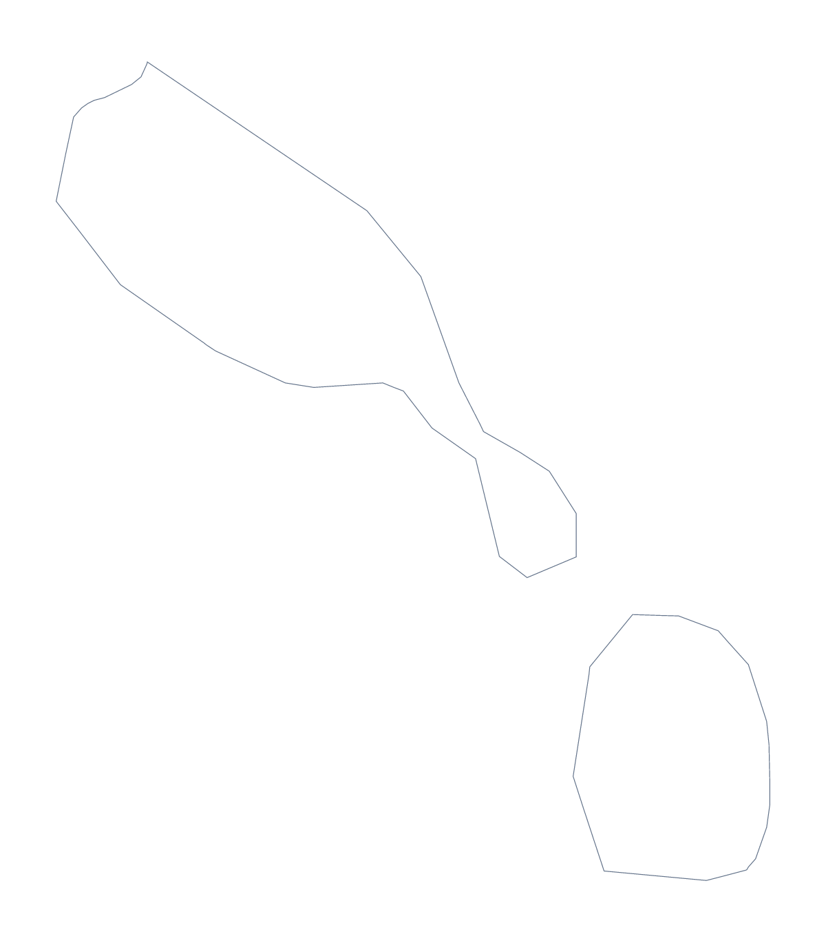
Blank map of Saint Kitts and Nevis
The outline, free as a PNG, SVG or PDF. Label it, colour it in or drop it into a slide.
Using a blank map of Saint Kitts and Nevis
The two versions on this page serve two quite different jobs. Outline only is the shape of Saint Kitts and Nevis alone, a quick silhouette for a slide or a sketch. With borders adds its 14 administrative areas, and it is the one for anything that needs labelling. Each comes as a PNG, an SVG and a PDF.
Small areas on a large page
Put the With borders PNG on a page and enlarge it to fill the sheet: the areas are small, and a full page shows the lines clearly. Saint Mary Cayon, Christ Church Nichola Town and Saint Thomas Lowland are among them, and the list further down this page gives each name for your captions.
Outline only is the version for a plain silhouette, such as a header or a small locator in a corner.
Placing it in a design
In a slide or a poster, the transparent PNG lets the outline take the colour of the background. The SVG is the better source when the shape has to be large or restyled: it scales without softening, so a banner or a cover can carry the map with a heavier line or a fill in brand colours. A silhouette also works as a stamp or a cut-out for a classroom display.
Which one
The political blank map of Saint Kitts and Nevis is the With borders version. Take Outline only for a silhouette, a logo sketch or a first lesson. Choose the PNG for documents and slides, the SVG for design tools and the PDF for A4 or Letter. For print choices, the printable map of Saint Kitts and Nevis has black and white.
How to do it in MapMaker
- Choose With borders for the 14 administrative areas, or Outline only for the plain shape.
- Download the PNG for a worksheet or slide, or the SVG for a design tool.
- Enlarge the file on your page so the small areas are easy to see.
- Take the area names for your captions from the list below.
- Choose Customise this map to add names, colours or a title.
The 14 administrative areas on the map
A key for labelling the map by hand.
- Christ Church Nichola Town
- Saint Anne Sandy Point
- Saint George Basseterre
- Saint George Gingerland
- Saint James Windward
- Saint John Capisterre
- Saint John Figtree
- Saint Mary Cayon
- Saint Paul Capisterre
- Saint Paul Charlestown
- Saint Peter Basseterre
- Saint Thomas Lowland
- Saint Thomas Middle Island
- Trinity Palmetto Point
Facts about Saint Kitts and Nevis
Saint Kitts and Nevis is in the Caribbean. The capital is Basseterre. The population is about 53,000 (2019 estimate). Saint Kitts and Nevis has an area of about 270 km². The map divides it into 14 administrative areas.
Questions people ask
Is there a political blank map of Saint Kitts and Nevis?
Yes: the With borders version, which draws all 14 administrative areas as separate shapes and has no names on it. Outline only is the shape of the country without lines inside.
Can I make the outline bigger without it going blurry?
Use the SVG. It is a vector file, so the outline and the lines between the 14 areas stay sharp when scaled up for a slide, a poster or a classroom banner. The PNG is a picture of fixed size.
Does the PNG have a transparent background?
Yes. The area around Saint Kitts and Nevis is see-through, so the shape sits on any colour or image you place it on without a white box.
How do I add names, a title or my own colours?
Choose Customise this map. The editor opens the same outline, where you can show names, add a title under Canvas, colour the areas and download a PNG, JPG or SVG.