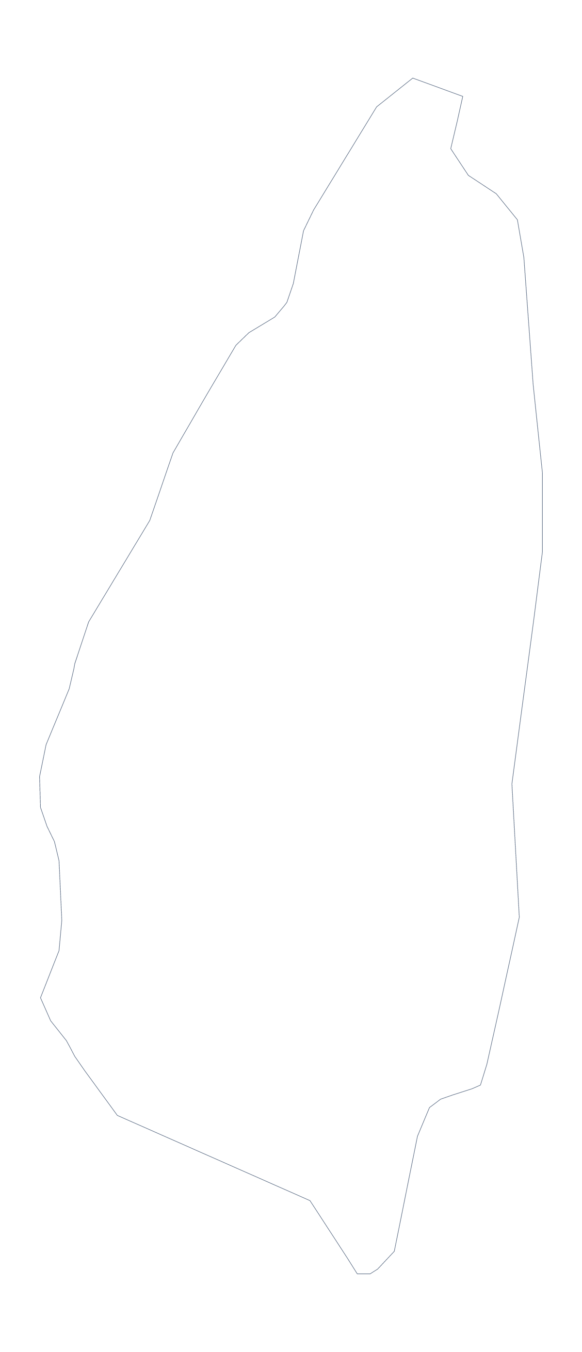
Blank map of Saint Lucia
The outline, free as a PNG, SVG or PDF. Label it, colour it in or drop it into a slide.
Using a blank map of Saint Lucia
People ask for a blank map of Saint Lucia when they have something to build with it. Outline only is the country on its own. With borders adds the lines between its 11 administrative areas, which is the version for labelling. Both come as a PNG on a transparent background, an SVG and a PDF.
Slides first
Saint Lucia on a slide is easier when the map has no white box around it. Place the PNG on a title slide in your colours and put a heading, a date or three figures beside it. For a set of slides about regions, repeat the With borders map on each slide and fill a different area on each, using the shape tools of your slide software.
Handouts and reports
For a handout or a report, put the With borders PNG on the page and set your text beside it, with the areas your section covers filled in. Dauphin Quarter, Praslin Quarter and Laborie Quarter are among them, and the list further down this page gives each name for your captions.
Design work
The SVG scales to a banner or shrinks to an icon without softening, and a design tool can give each area its own colour, a stroke weight or a pattern. A silhouette from Outline only is a good start for a logo sketch or a cut-out.
Version and file, in short
The political blank map of Saint Lucia is the With borders version; take Outline only for covers and younger pupils. PNG for documents and slides, SVG for design tools, PDF for A4 or Letter. For black and white and print settings, see the printable map of Saint Lucia.
How to do it in MapMaker
- Choose With borders for the 11 areas, or Outline only for the plain shape.
- Download the PNG for a slide or worksheet, or the SVG for a design tool.
- Place the file on a slide or page and scale it from a corner.
- Fill the areas your page covers and use the list below for the names in your captions.
- Choose Customise this map to add names, colours or a title in the editor.
The 11 administrative areas on the map
A key for labelling the map by hand.
- Anse la Raye Quarter
- Castries Quarter
- Choiseul Quarter
- Dauphin Quarter
- Dennery Quarter
- Gros Islet Quarter
- Laborie Quarter
- Micoud Quarter
- Praslin Quarter
- Soufrière Quarter
- Vieux Fort Quarter
Facts about Saint Lucia
Saint Lucia is in the Caribbean. The capital is Castries. The population is about 180,000 (2019 estimate). Saint Lucia has an area of about 610 km². The map divides it into 11 administrative areas.
Questions people ask
Which file should I use in a worksheet, a slide or a design?
Use the PNG in a worksheet or slide, as its transparent background takes the colour behind it. Use the SVG in Illustrator, Inkscape or Figma, and the PDF for A4 or Letter.
How many administrative areas does the blank map show?
The With borders version shows 11 administrative areas as separate shapes, with no names. The list further down this page names every one, so it works as an answer key.
Is there a political blank map of Saint Lucia?
Yes: the With borders version. It draws the 11 areas as shapes without names. The Outline only version is the country's silhouette with no inner lines.
Can I show the countries around Saint Lucia?
Not on this page, which shows the outline only. Choose Customise this map to open Saint Lucia in the editor, where the Neighbours switch draws surrounding countries in grey.