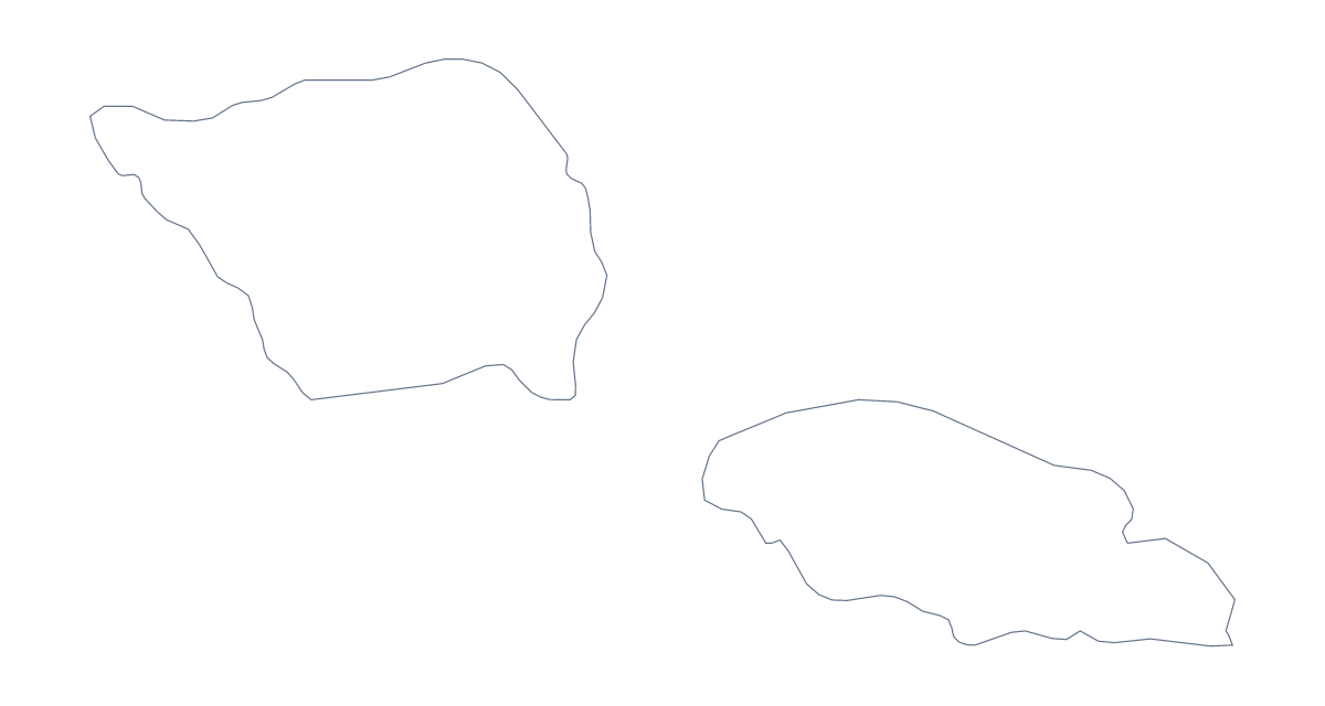
Blank map of Samoa
The outline, free as a PNG, SVG or PDF. Label it, colour it in or drop it into a slide.
Using a blank map of Samoa
Most people who come for a blank map of Samoa want a shape to build on: a cut-out for a classroom display, a base for an invitation, a worksheet of your own. This page offers it two ways. Outline only is the country on its own, and With borders adds the lines between its 11 administrative areas. Each comes as a PNG, an SVG or a PDF.
Cut-outs, crafts and invitations
The SVG suits making things. Open it in a design tool, remove or lighten the lines you do not need, and use the shape as a card cover, a sticker template or a stencil for a display board. A class can print the Outline only PDF in several sizes of their own choosing and cut the shapes out for a Pacific wall.
Revision cards
Place the With borders PNG in the middle of a card in a word processor and add three boxes around it, one for each area a pupil finds hardest, such as Atua, Palauli or Vaisigano. Print the cards, cut them out and swap them for pocket revision. The list further down this page gives the names to check against, and a "which shape is this?" card can use Outline only with no lines at all.
Choosing a version and a file
The political blank map of Samoa is With borders: all 11 areas, no names. Take Outline only for anything decorative, since its lines will not compete with the text beside it. Use PNG in a document, SVG in a design tool and PDF for A4 or Letter. For names, pins or a title, Customise this map opens the same outline in the editor; the editable map of Samoa is the page to start from if you also want colour.
How to do it in MapMaker
- Choose Outline only for a silhouette, or With borders to see the 11 administrative areas.
- Download the PNG for a document, the SVG for a design tool or a PDF for A4 or Letter.
- Place the PNG on your page and scale it from a corner, so the outline stays in proportion.
- Build the revision cards with three boxes each, and check the names against the list on this page.
- Choose Customise this map if you want names, colours or a title added.
The 11 administrative areas on the map
A key for labelling the map by hand.
- A'ana
- Aiga-i-le-Tai
- Atua
- Fa'asaleleaga
- Gaga'emauga
- Gaga'ifomauga
- Palauli
- Satupa'itea
- Tuamasaga
- Va'a-o-Fonoti
- Vaisigano
Facts about Samoa
Samoa is in Polynesia. The capital is Apia. The population is about 200,000 (2019 estimate). Samoa has an area of about 2,790 km². The map divides it into 11 administrative areas.
Questions people ask
Which version has the inner lines?
With borders has them: it draws the lines between all 11 administrative areas of Samoa. Outline only has none, so it is the plain shape for a silhouette, a cut-out or a colour wash behind text.
Does the blank map show the names of the administrative areas?
No. Blank maps carry no names, which is the point of them. The list of 11 areas further down the page names each one, so you can add labels in your own document or use it to check answers.
Can I open the SVG in Illustrator, Inkscape or Figma?
Yes. It is a vector file, so you can recolour the outline, thicken the lines or trace it for an invitation, a logo sketch or a craft template, and it stays sharp at any size.
Does the PNG have a transparent background?
Yes. The area around the outline is see-through, so the map of Samoa takes the colour of the card, slide or worksheet box you place it on.