Blank map of the Seychelles
The outline, free as a PNG, SVG or PDF. Label it, colour it in or drop it into a slide.
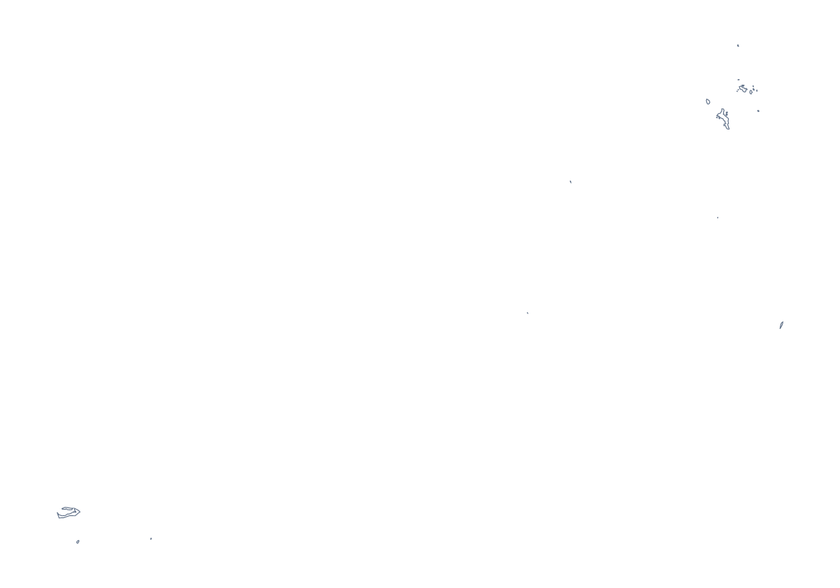
Using a blank map of the Seychelles
Anyone looking for a blank map of the Seychelles probably has a design or a document in mind: a travel brochure panel, a menu or place card with the shape on it, a slide for a project. This page gives you the shape in two versions. Outline only is the plain shape, and With borders adds the lines between its 26 administrative areas. Each is a PNG, an SVG or a PDF.
Cards, menus and brochures
A restaurant or guesthouse can put the Outline only PNG on a menu, a card or a leaflet. The background is transparent, so the shape takes the colour of the paper or panel behind it. Set it in a pale tint behind the text, or at a stronger colour in a corner as a mark.
Choosing lines
With 26 areas, With borders is a busy map. It suits a report that lists areas and a quiz that names them, and it is the political blank map. For a silhouette, a logo sketch or a calm backdrop, choose Outline only. In a design tool, you can open the With borders SVG and remove the lines from areas you do not need.
Layers in a design tool
Open the With borders SVG in a design tool: each area is its own shape, so a brochure can fill the ones it covers and leave the rest pale. The list further down this page gives the names of all 26 areas, such as Anse Royale or Takamaka, to copy into captions.
Files and next steps
PNG goes into documents, SVG into design tools and PDF onto A4 or Letter. For print choices such as black and white, see the printable map of the Seychelles. For names, pins or colours, choose Customise this map.
How to do it in MapMaker
- Choose Outline only for the plain shape, or With borders for the 26 administrative areas.
- Pick PNG for a card or a slide, SVG for a design tool or a PDF for A4 or Letter.
- Place the PNG on your design and resize it from a corner so the shape keeps its proportions.
- Fill the areas your design covers and copy their names from the list on this page.
- Choose Customise this map to add names, pins, colours or a title.
The 26 administrative areas on the map
A key for labelling the map by hand.
- Anse Boileau
- Anse Etoile
- Anse Royale
- Anse-aux-Pins
- Au Cap
- Baie Lazare
- Baie Sainte Anne
- Beau Vallon
- Bel Air
- Bel Ombre
- Cascade
- Coralline Seychelles
- Glacis
- Grand'Anse Praslin
- Grand'Anse Praslin
- La Digue
- La Rivière Anglaise
- Les Mamelles
- Mont Buxton
- Mont Fleuri
- Plaisance
- Pointe La Rue
- Port Glaud
- Roche Caiman
- Saint Louis
- Takamaka
Facts about the Seychelles
The Seychelles is in Eastern Africa. The capital is Victoria. The population is about 98,000 (2019 estimate). The Seychelles has an area of about 440 km². The map divides it into 26 administrative areas.
Questions people ask
What is the difference between Outline only and With borders?
Outline only is the shape of the Seychelles with nothing inside it. With borders adds the lines between its 26 administrative areas. Neither version has names on it.
Is there a political blank map of the Seychelles?
Yes. The With borders version is the political blank map, with all 26 administrative areas drawn in and no labels. The list further down this page names each one for checking answers.
Can I open the SVG in Illustrator, Inkscape or Figma?
Yes. It is a vector file, so you can recolour the outline, thicken or remove the area lines and trace it for a logo or a poster, and it stays sharp at any size.
Does the PNG have a transparent background?
Yes. Everything around the outline is see-through, so the map takes the colour of the page, card or slide it sits on.