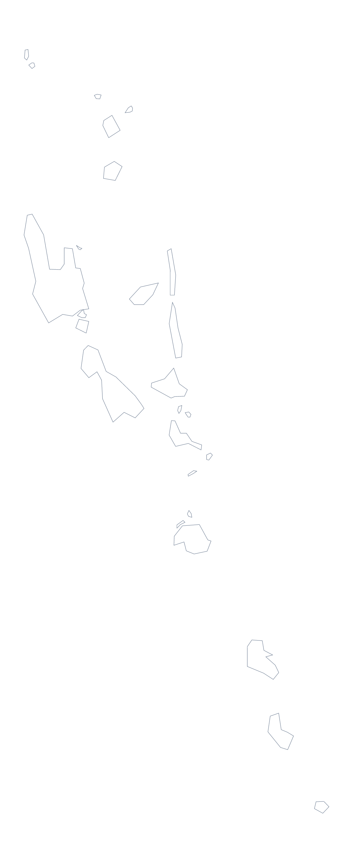
Blank map of Vanuatu
The outline, free as a PNG, SVG or PDF. Label it, colour it in or drop it into a slide.
Using a blank map of Vanuatu
Designers, teachers and report writers all ask for the same thing from a blank map of Vanuatu: the shape, clean, in a format that drops into their work. Outline only is the plain shape, and With borders adds the lines between its 6 administrative areas. Each version comes as a PNG, an SVG or a PDF.
Design work with six areas
Six shapes are few enough to style by hand. Open the SVG in Illustrator, Inkscape or Figma and fill each area in a different brand colour, or give the lines a heavy weight for a cover. The outline can also be traced for a logo sketch or a banner. Since SVG is a vector format, the same file works small in a footer and large on a poster.
Research handouts
In a word processor, drop the With borders PNG into a handout and add a text box beside each of Malampa, Penama, Sanma, Shefa, Tafea and Torba. Pupils write a note from their own reading in each box, and the list further down this page gives the names to check. The outline worksheet template is a ready-made layout for this kind of page.
Slides
The PNG has a transparent background, so on a coloured slide the map takes the slide's colour. Put With borders beside a table with one row per area, or use Outline only as a quiet backdrop for a title.
Which one
Choose With borders to name areas; choose Outline only for decoration or a silhouette. If you want black and white or print choices, go to the printable map of Vanuatu. For colour and names, choose Customise this map.
How to do it in MapMaker
- Choose With borders for the 6 administrative areas, or Outline only for the plain shape.
- Pick PNG for a handout or a slide, SVG for a design tool or a PDF for A4 or Letter.
- Drop the PNG into your document and resize it from a corner.
- Add a text box beside each area and check the names pupils write against the list on this page.
- Choose Customise this map to add names, colours or a title.
The 6 administrative areas on the map
A key for labelling the map by hand.
- Malampa
- Penama
- Sanma
- Shefa
- Tafea
- Torba
Facts about Vanuatu
Vanuatu is in Melanesia. The capital is Port Vila. The population is about 300,000 (2019 estimate). Vanuatu has an area of about 12,300 km². The largest cities are Port Vila and Luganville. The map divides it into 6 administrative areas.
Questions people ask
What is the difference between Outline only and With borders?
Outline only is the shape of Vanuatu with nothing inside it. With borders draws the lines between its 6 administrative areas. Neither version has names on it.
Is there a political blank map of Vanuatu?
Yes. The With borders version is the political blank map: all 6 administrative areas drawn in, with no labels. The list further down this page names each one for marking answers.
Is there an answer key for a labelling quiz?
Yes. The list of administrative areas further down the page names all six: Malampa, Penama, Sanma, Shefa, Tafea and Torba. Mark pupils' labels against it.
Can I open the SVG in Illustrator, Inkscape or Figma?
Yes. The SVG is a vector file, so lines stay sharp at any size and you can recolour each area, thicken the borders or trace the outline.