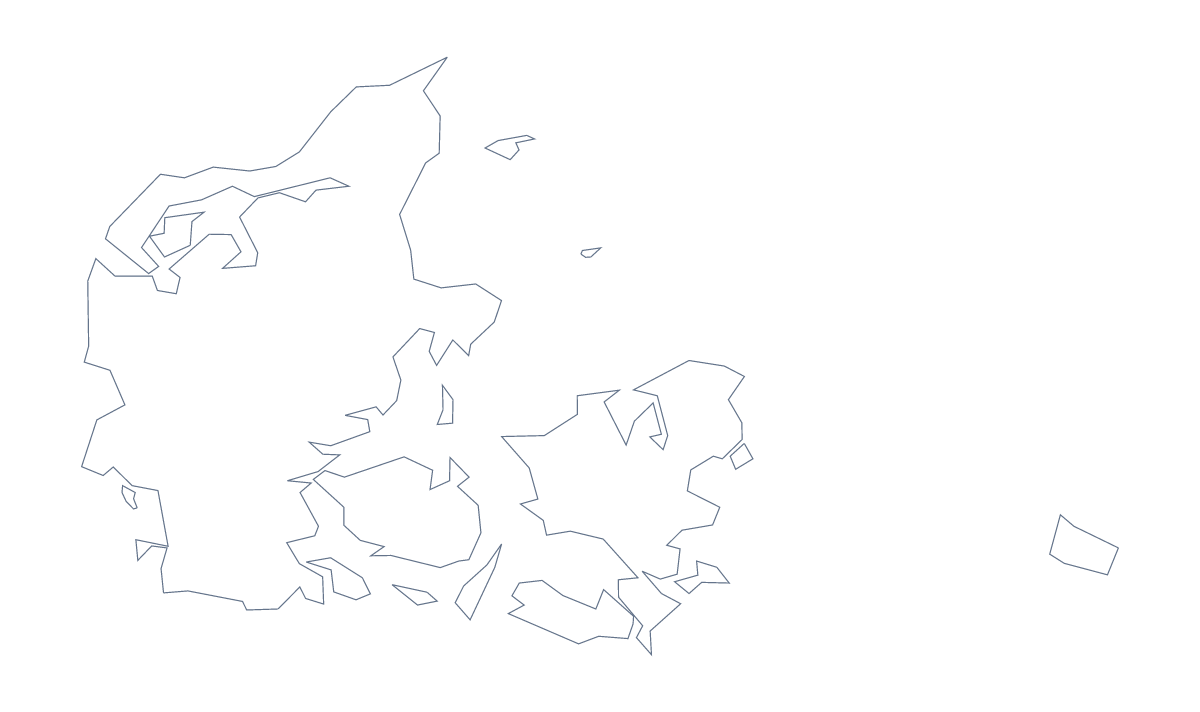
Blank map of Denmark
The outline, free as a PNG, SVG or PDF. Label it, colour it in or drop it into a slide.
Using a blank map of Denmark
Five shapes make a small, clear puzzle, and the blank map of Denmark is built for it. This page gives you Outline only, the country on its own, and With borders, which draws the 5 administrative areas inside it. Each version comes as a PNG on a transparent background, an SVG and a PDF for A4 or Letter.
A five-area quiz
Drop the PNG of With borders into your own worksheet and number the five areas. Pupils write the names beside the numbers, with the list further down this page as the answer sheet. For something quicker, fill one area at a time on a slide and ask which it is. On a project slide, the same five shapes can stand for five teams or five sites, each in a colour from your theme.
Posters, covers and designs
The silhouette of Outline only is a plain shape that takes styling well. Open the SVG in Illustrator, Inkscape or Figma to fill it with a pattern, outline it in a brand colour or trace it for a poster. On a slide, the transparent PNG lets the slide's own colour show around the shape, with room for a title beside it.
Choosing
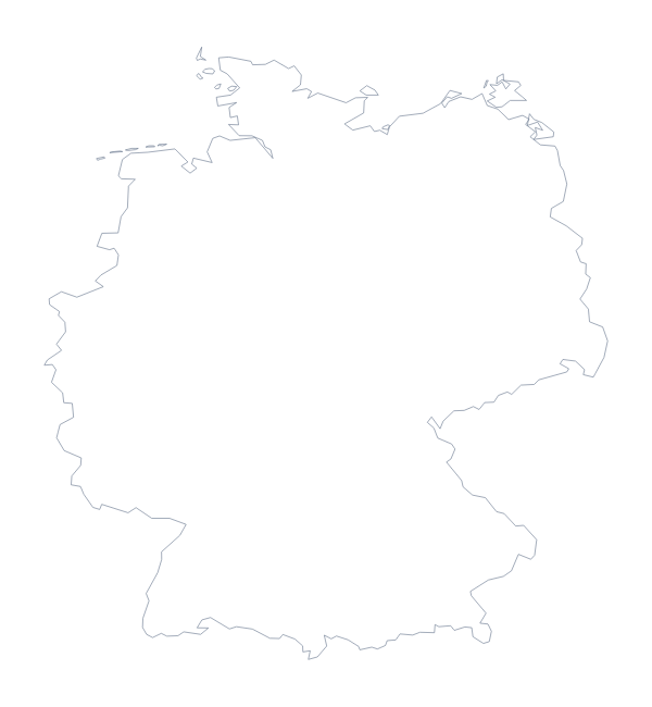
The political blank map of Denmark is the With borders version. Take Outline only when inner lines would get in the way, and the PNG for documents, the SVG for design tools and the PDF to print at 100% on A4 or Letter. If you want to see Germany beside it, the editable map of Denmark has a Neighbours switch; for print choices, use the printable map of Denmark.
How to do it in MapMaker
- Choose With borders for the 5 administrative areas, or Outline only for the plain shape of Denmark.
- Pick PNG for a worksheet or slide, SVG for a design tool or a PDF for A4 or Letter.
- Place the file in your own document and number the areas you want pupils to name.
- Check the answers against the list of administrative areas on this page.
- Choose Customise this map for names, a title or colours, then download from the editor.
The 5 administrative areas on the map
A key for labelling the map by hand.
- Central Denmark
- Denmark
- North Denmark
- Southern Denmark
- Zealand
Facts about Denmark
Denmark is in Northern Europe. The capital is København. The population is about 5.8 million (2019 estimate). Denmark has an area of about 42,500 km². The largest cities are København, Århus, Odense, Aalborg and Esbjerg. It borders Germany. The map divides it into 5 administrative areas.
Maps of neighbouring places
Questions people ask
What is the difference between Outline only and With borders?
Outline only is the shape of Denmark with no lines inside it. With borders adds the lines of its 5 administrative areas, which makes it the political blank map. Neither version has any names on it.
Does the blank map show the names of the administrative areas?
No. A blank map has no names by design. The list of 5 administrative areas further down this page works as a key for labelling by hand.
Can I make the outline bigger without it going blurry?
Yes, with the SVG. It is a vector file, so the outline of Denmark stays sharp at any size, on a postcard or a banner. The PDF is vector too; the PNG is best at about the size you place it.
Can I colour the map in before I download it?
Not on this page, which does not change the map. Choose Customise this map to colour the areas in the editor, or use the printable map of Denmark to colour on the page before you print.