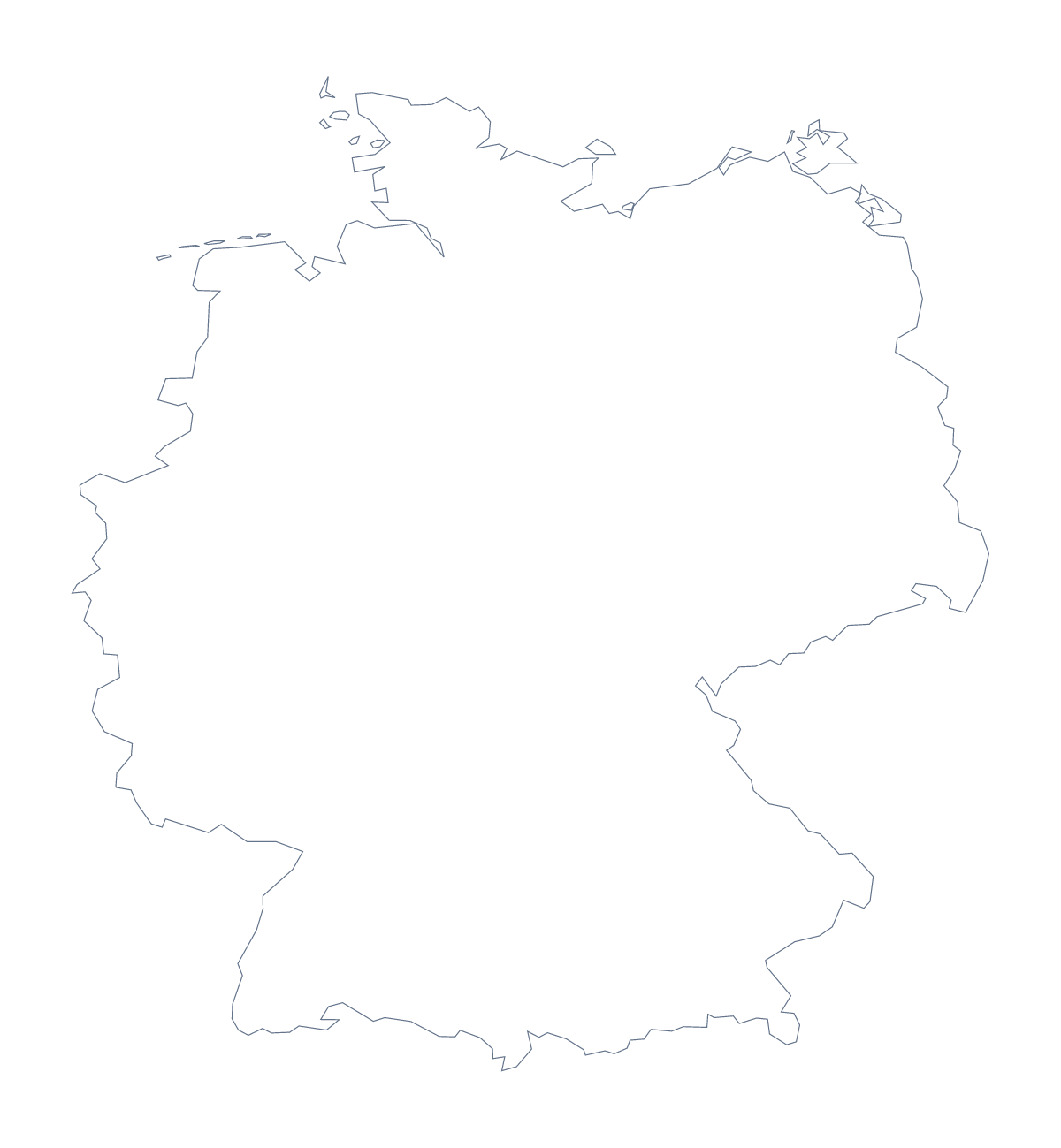
Blank map of Germany
The outline, free as a PNG, SVG or PDF. Label it, colour it in or drop it into a slide.
Using a blank map of Germany
Slides, maps for a report, labelling sheets and posters all start with the same thing: the outline of Germany as a file. This page has Outline only, the country on its own, and With borders, which adds the 16 states. Each comes as a PNG on a transparent background, an SVG and a PDF for A4 or Letter.
A slide with room for the message
On a slide, the transparent PNG of Outline only sits on your theme colour with no white box around it, so there is space beside it for a title or a few figures. If the slide is about a handful of states, take With borders and use the line between states as a guide when you add colour in your own software.
Labelling the states
For a worksheet, place the PNG of With borders and set a word bank beside it with a few states, such as Hesse, Saxony and Schleswig-Holstein, and let pupils draw a line from each name to its shape. They check against the list on this page. A starter works on Outline only: show it on a slide with no title and ask which country it is, then bring up With borders for the states.
The political blank map and the files
The political blank map of Germany is the With borders version. Use the PNG for documents and slides, the SVG for Illustrator, Inkscape or Figma, and the PDF to print at 100% on A4 or Letter. When the states are the whole point, the blank map of the German states leads with them; for print choices see the printable map of Germany.
How to do it in MapMaker
- Choose With borders for the 16 states, or Outline only for the plain shape of Germany.
- Pick PNG for a slide or worksheet, SVG for a design tool or a PDF for A4 or Letter.
- Place the file in your document and resize it from a corner so the proportions hold.
- Set the states you want found beside the map and keep the list on this page as the answer sheet.
- Choose Customise this map for names, colours or a title, then download from the editor.
The 16 states on the map
A key for labelling the map by hand.
- Baden-Württemberg
- Bavaria
- Berlin
- Brandenburg
- Free Hanseatic Bremen
- Hamburg
- Hesse
- Lower Saxony
- Mecklenburg-Western Pomerania
- North Rhine-Westphalia
- Rhineland-Palatinate
- Saarland
- Saxony
- Saxony-Anhalt
- Schleswig-Holstein
- Thuringia
Facts about Germany
Germany is in Western Europe. The capital is Berlin. The population is about 83 million (2019 estimate). Germany has an area of about 356,000 km². The largest cities are Berlin, Stuttgart, Frankfurt, Mannheim and Hamburg. It borders Austria, Belgium, Czechia, Denmark, France, Luxembourg, Netherlands, Poland and Switzerland. The map divides it into 16 states.
Maps of neighbouring places
Questions people ask
Is there a political blank map of Germany?
Yes. With borders is the political blank map of Germany: the 16 states drawn inside the outline, with no names. Outline only is the country's shape with no inner lines.
Is there a blank map of Germany's states on their own?
Yes, the blank map of the German states is a page of its own that leads with the 16 states. This page is the country, with the outline alone or with its states drawn in.
Does the PNG have a transparent background?
Yes. Everything around Germany is see-through, so the outline takes the colour of the slide, worksheet box or poster behind it.
Can I make the outline bigger without it going blurry?
Yes, with the SVG or the PDF, which are vector files. The lines of Germany and its states stay sharp whether the map fills a postcard or a banner.