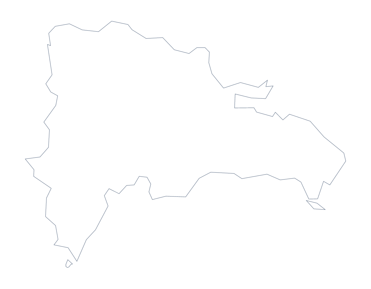
Blank map of the Dominican Republic
The outline, free as a PNG, SVG or PDF. Label it, colour it in or drop it into a slide.
Using a blank map of the Dominican Republic
A blank map of the Dominican Republic is usually a part in something bigger: a slide in a market report, a report in your own template, a poster that needs the shape. This page gives you the shape as a file. Outline only is the country with nothing inside, and With borders adds its 32 administrative areas. Each comes as a PNG, an SVG or a PDF.
A report page in your own template
Place the PNG of With borders on a page in your word processor and run your own text beside it: a market note, a field-trip plan, a section of a report. The list of areas further down this page gives the names for your headings. The quiz worksheet template is there if you would rather build numbered pins in the editor.
Slides and design work
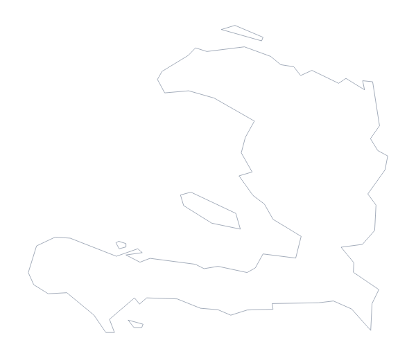
On a slide, the transparent PNG sits on your theme colour with no white box around it, which leaves room for a title and a few figures. A designer can open the SVG in Illustrator, Inkscape or Figma, where the areas can be recoloured one by one for a regional report or heavier lines can be set for a cover. Haiti is a neighbour on the fact sheet, so a two-country slide can place this outline next to the blank map of Haiti.
Which version
The political blank map of the Dominican Republic is the With borders version: the area lines and no names, suited to labelling and regional colour work. Outline only suits a silhouette on a cover or a first lesson with younger children. Take the PDF when you want the file on A4 or Letter as it stands; for print choices, see the printable map of the Dominican Republic. For names, pins or a title, choose Customise this map.
How to do it in MapMaker
- Pick With borders for the 32 areas, or Outline only for the plain shape.
- Choose PNG for a worksheet or slide, SVG for a design tool or PDF, A4 or PDF, Letter.
- Place the PNG on your page and resize it from a corner so the proportions hold.
- Take the area names for your headings from the list on this page.
- Choose Customise this map when you need names, colours or a title.
The 32 administrative areas on the map
A key for labelling the map by hand.
- Azua
- Baoruco
- Barahona
- Dajabón
- Duarte
- El Seibo
- Espaillat
- Hato Mayor
- Hermanas Mirabal
- Independencia
- La Altagracia
- La Estrelleta
- La Romana
- La Vega
- María Trinidad Sánchez
- Monseñor Nouel
- Monte Cristi
- Monte Plata
- Nacional
- Pedernales
- Peravia
- Puerto Plata
- Samaná
- San Cristóbal
- San José de Ocoa
- San Juan
- San Pedro de Macorís
- Sánchez Ramírez
- Santiago
- Santiago Rodríguez
- Santo Domingo
- Valverde
Facts about the Dominican Republic
The Dominican Republic is in the Caribbean. The capital is Santo Domingo. The population is about 11 million (2019 estimate). The Dominican Republic has an area of about 48,600 km². The largest cities are Santo Domingo, Santiago, San Pedro de Macorís, La Romana and La Vega. It borders Haiti. The map divides it into 32 administrative areas.
Maps of neighbouring places
Questions people ask
Is there a political blank map of the Dominican Republic?
Yes. The With borders version is the political blank map: the outline with the lines of all 32 administrative areas drawn in. It has no names, so you add them yourself.
Does the PNG have a transparent background?
Yes. Everything around the shape is see-through, so the map takes the colour of the slide, worksheet or poster you place it on.
Which file should I use in a worksheet, a slide or a design?
Use the PNG for a worksheet or slide, the SVG when you want to restyle or resize the map in a design tool, and the PDF to print on A4 or Letter.
Can I show the countries around the Dominican Republic?
Not on this page, which gives the outline only. Choose Customise this map and switch on Neighbours in the editor to draw Haiti beside it.