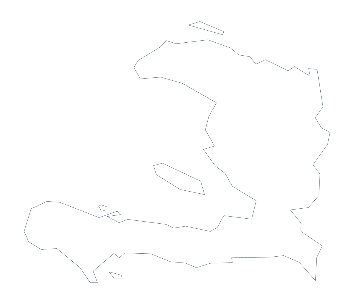
Blank map of Haiti
The outline, free as a PNG, SVG or PDF. Label it, colour it in or drop it into a slide.
Using a blank map of Haiti
Haiti is a map people need for reports, briefings and lessons that carry their own styling, so the useful thing is the shape as a clean file. Outline only is the country with nothing inside it, and With borders adds its 10 administrative areas. Each version is a PNG, an SVG or a PDF.
A briefing page and a slide
Programme teams often need a base map for a briefing. Drop the With borders PNG on a page, then add your own coloured circles or labels over the areas the briefing covers. Because the PNG is transparent, a pale tint behind the page shows through the shape.
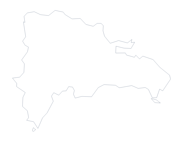
For a slide, use Outline only at the side with a few figures beside it. A short deck about two countries can place it next to the blank map of the Dominican Republic, since the fact sheet lists it as Haiti's neighbour on land.
A locator beside a story
A news item, a field report or a school newsletter can carry the Outline only PNG at a small size as a locator beside the text, with the same file reused on every page of the issue.
Design use
The SVG opens in Illustrator, Inkscape or Figma. Recolour each area in a palette, set a heavy outline for a report cover or trace the shape for an illustration. The lines remain sharp however far you scale it.
Which version, which file
The political blank map of Haiti is the With borders version, with the area lines and no names. PNG suits documents and slides, SVG suits design tools and PDF suits A4 or Letter. For names, pins or colour, choose Customise this map.
How to do it in MapMaker
- Choose With borders for the 10 areas, or Outline only for the plain shape.
- Pick PNG for a briefing or slide, SVG for a design tool or a PDF for A4 or Letter.
- Place the file on your page and resize it from a corner so the outline keeps its proportions.
- Take the area names for your captions from the list on this page.
- Choose Customise this map for names, colours or a title.
The 10 administrative areas on the map
A key for labelling the map by hand.
- Artibonite
- Centre
- Grand'Anse
- Nippes
- Nord
- Nord-Est
- Nord-Ouest
- Ouest
- Sud
- Sud-Est
Facts about Haiti
Haiti is in the Caribbean. The capital is Port-au-Prince. The population is about 11 million (2019 estimate). Haiti has an area of about 27,000 km². The largest cities are Port-au-Prince, Cap-Haïtien, Les Cayes, Gonaïves and Port-De-Paix. It borders Dominican Republic. The map divides it into 10 administrative areas.
Maps of neighbouring places
Questions people ask
What is the difference between Outline only and With borders?
Outline only is the shape of Haiti with nothing inside it. With borders adds the lines of its 10 administrative areas, which makes it the political blank map of Haiti. Neither version has names.
Is there an answer key for a labelling quiz?
Yes. The list of 10 areas further down this page names each one that With borders draws, so you can number the shapes in your own sheet and mark the answers against it.
Can I open the SVG in Illustrator, Inkscape or Figma?
Yes. The SVG is a vector file, so the outline of Haiti and the area lines stay sharp at any size and can be recoloured, thickened or traced in a design tool.