Blank map of the Gambia
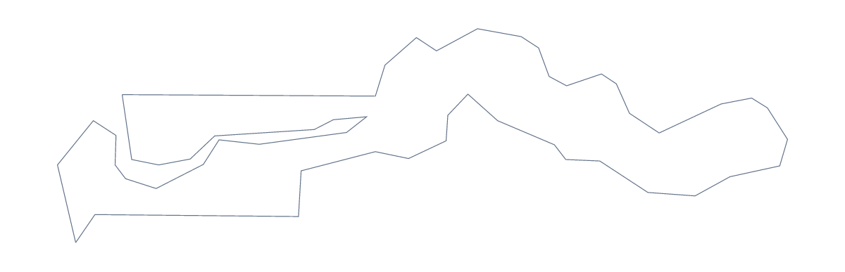
The outline, free as a PNG, SVG or PDF. Label it, colour it in or drop it into a slide.
Using a blank map of the Gambia
This page is for anyone who wants the Gambia as a file they can use. Outline only is the shape alone; With borders adds the lines between its 6 administrative areas. Each version is a PNG with a transparent background, an SVG and a PDF.
A map beside a six-row table
With borders is the political blank map of the Gambia. In your own page, put a table beside the PNG with a row for each of the six areas (Banjul, Central River, Lower River, North Bank, Upper River and West Coast) and a figure or a note in each. With only six shapes the page stays easy to read.
In a design or a presentation
A small outline is easy to place. In Figma or Illustrator, open the SVG and fill a single area, say West Coast or Upper River, in a strong colour to show where a project works, with the other areas in a light tone. The file stays sharp when scaled to a banner.
On a slide, use the PNG. Its transparent background lets a block of colour or a photograph show through, so the shape sits there on its own.
Which one to take
Take Outline only for a silhouette, a logo sketch or a very young class, where the lines inside would only be in the way. Take With borders whenever the areas matter. For a print-ready sheet with colour and ink choices, go to the printable map of the Gambia. If the map needs Banjul or Brikama pinned, a title or names, Customise this map opens it in the editor.
How to do it in MapMaker
- Choose With borders for the 6 areas, or Outline only for the shape of the Gambia alone.
- Download the PNG for a slide or worksheet, the SVG for a design tool or the PDF for A4 or Letter.
- Place the file in your document and add a note beside each area you want to describe.
- Spell the area names from the list of administrative areas further down.
- For pins or names on the map itself, choose Customise this map and download from there.
The 6 administrative areas on the map
A key for labelling the map by hand.
- Banjul
- Central River
- Lower River
- North Bank
- Upper River
- West Coast
Facts about the Gambia
The Gambia is in Western Africa. The capital is Banjul. The population is about 2.3 million (2019 estimate). The Gambia has an area of about 10,500 km². The largest cities are Brikama, Banjul, Mansa Konko, Basse Santa Su and Bansang. It borders Senegal. The map divides it into 6 administrative areas.
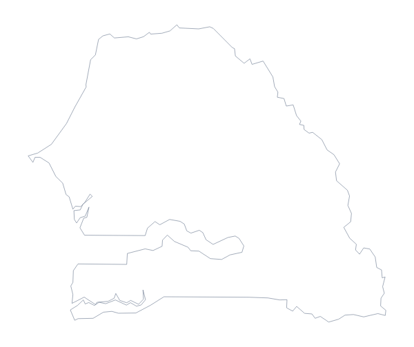
Maps of neighbouring places
Questions people ask
Is there a political blank map of the Gambia?
Yes, it is the With borders version. It draws the 6 administrative areas with no names on them, so pupils can label each one from the list that follows the download buttons.
What is the difference between Outline only and With borders?
Outline only is the shape of the Gambia with no lines inside it. With borders adds the lines that divide it into its 6 administrative areas. Both come as PNG, SVG and PDF.
Does the PNG have a transparent background?
Yes. The PNG has no background colour, so the outline picks up whatever is behind it, such as a slide colour, a photograph or the tint of a worksheet.
How do I add names, a title or my own colours?
Choose Customise this map to open the same outline in the editor. There you can show names, colour any area, add a title on the Canvas tab and download PNG, JPG or SVG.