Blank map of Lesotho
The outline, free as a PNG, SVG or PDF. Label it, colour it in or drop it into a slide.
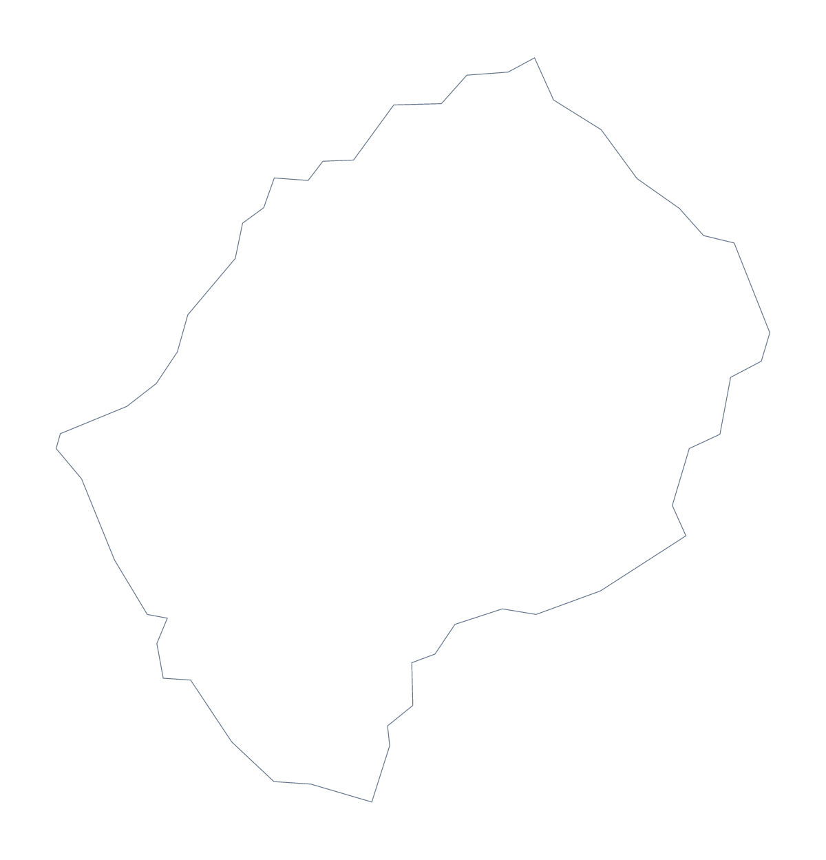
Using a blank map of Lesotho
People reach for a blank map of Lesotho to illustrate something else: a report on a project in the country, a poster, a geography handout. This page gives you the shape as a file in two versions, Outline only and With borders, which adds the 10 administrative areas. Each comes as a PNG, an SVG or a PDF.
For a handout
Drop the With borders PNG into a handout and number some of the areas: Maseru, Mokhotlong, Thaba-Tseka and Butha-Buthe make a good four, each matching a row in a table of figures beside the map. The list lower on this page gives the spellings.
For a cover, a poster or a slide
The shape of Lesotho can carry a report cover on its own. Place the transparent PNG over a block of colour and add the title beside it. Designers can take the SVG into Illustrator, Inkscape or Figma, trace it, fill each of the 10 areas with a different tint, or enlarge it for a wall display without any blur.
Which version, which file
The political blank map of Lesotho is the With borders version: the areas drawn in and no names. Outline only is the plain shape, better for a silhouette. PNG fits worksheets and slides, SVG design tools, and the PDF prints on A4 or Letter. If you want the printing choices, such as black and white, they are on the printable map of Lesotho. To add names, pins or a title, choose Customise this map.
How to do it in MapMaker
- Pick With borders for the 10 areas or Outline only for the plain shape.
- Download the PNG, SVG, PDF, A4 or PDF, Letter that fits the tool you are using.
- Place the file in your handout or slide and number the areas you want to describe.
- Use the list further down this page to spell the area names.
- Choose Customise this map if you need names or a title on the map itself.
The 10 administrative areas on the map
A key for labelling the map by hand.
- Berea
- Butha-Buthe
- Leribe
- Mafeteng
- Maseru
- Mohale's Hoek
- Mokhotlong
- Qacha's Nek
- Quthing
- Thaba-Tseka
Facts about Lesotho
Lesotho is in Southern Africa. The capital is Maseru. The population is about 2.1 million (2019 estimate). Lesotho has an area of about 30,100 km². The largest cities are Maseru, Mafetang, Hlotse, Mohales Hoek and Moyeni. It borders South Africa. The map divides it into 10 administrative areas.
Maps of neighbouring places
Questions people ask
Is there a political blank map of Lesotho?
Yes. It is the With borders version, which draws the 10 administrative areas as separate shapes with no names. The list of areas further down this page is the key.
Can I make the outline bigger without it going blurry?
Yes, with the SVG or the PDF. Both are vector files, so the lines of Lesotho stay sharp when you scale them up to poster size. The PNG is for worksheets and slides at the size you place it.
Which file should I use in a worksheet, a slide or a design?
Use the PNG in worksheets and slides, the SVG in Illustrator, Inkscape or Figma, and a PDF when you want the outline on A4 or Letter. All three are free to download.
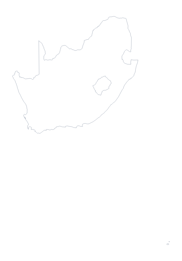
Can I show South Africa beside Lesotho?
This page draws Lesotho alone. Choose Customise this map and switch on Neighbours in the editor, and South Africa is drawn beside it.