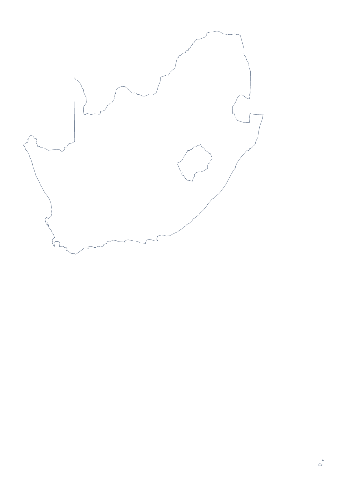
Blank map of South Africa
The outline, free as a PNG, SVG or PDF. Label it, colour it in or drop it into a slide.
Using a blank map of South Africa
Anyone building a South Africa worksheet, a pitch deck or a poster usually needs the shape and nothing else. The page gives you that in two versions, each as a PNG, an SVG and a PDF: Outline only for the country as one piece, and With borders for the same shape with its 9 provinces drawn in and left unnamed.
Handouts, cut-outs and colouring
Teachers can build a handout in a word processor around the With borders PNG: put a table beside it with a row for each of the 9 provinces, and keep the list on this page for the spellings.
Younger pupils can use Outline only and colour the whole country however they like, then trace the shape onto thin paper and cut out a copy for a class display.
On a slide or in a design tool
Put the PNG on a slide in your brand colour; its transparent background lets the colour show through and leaves room for a title and three numbers beside the shape. In Illustrator, Inkscape or Figma, the SVG keeps every province line sharp at any size, so one province can take a bold fill and the others a pale grey.
Version and file
The political blank map of South Africa is With borders. Outline only suits a silhouette, a cover, a logo sketch or a very young class. For print choices, black and white and class sets, go to the printable map of South Africa. For names or colours on the map itself, Customise this map opens the same outline in the editor.
How to do it in MapMaker
- Choose With borders for the 9 provinces, or Outline only for the country alone.
- Download the PNG for a worksheet or slide, the SVG for a design tool or a PDF for A4 or Letter.
- Place the PNG on your page, keeping its proportions when you resize.
- Add a table row for each province and spell it from the list further down.
- Choose Customise this map for names, pins or a title, then download from the editor.
The 9 provinces on the map
A key for labelling the map by hand.
- Eastern Cape
- Free State
- Gauteng
- KwaZulu-Natal
- Limpopo
- Mpumalanga
- North West
- Northern Cape
- Western Cape
Facts about South Africa
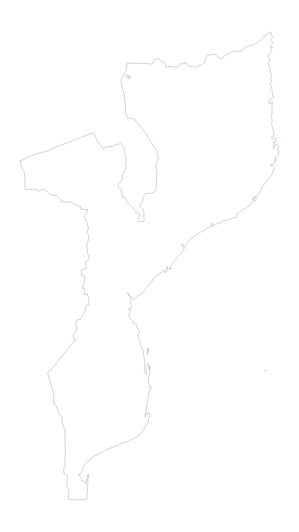
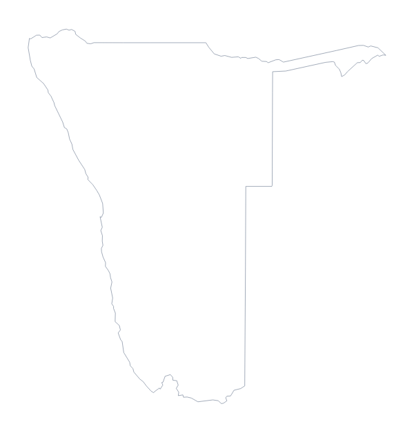
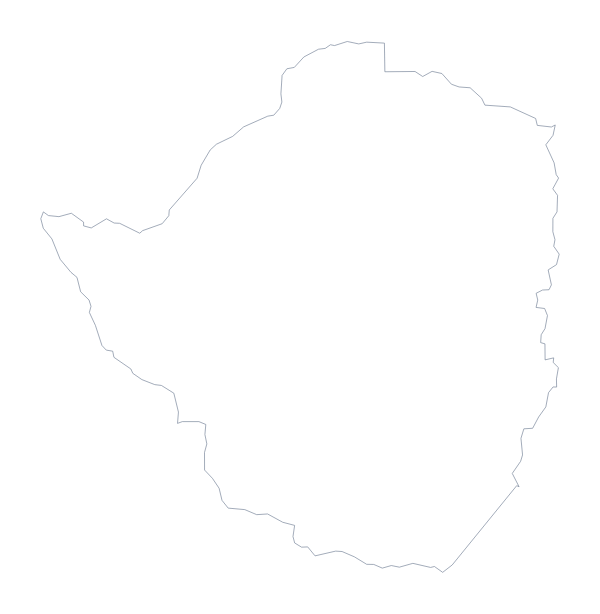
South Africa is in Southern Africa. The capital is Pretoria. The population is about 59 million (2019 estimate). South Africa has an area of about 1,220,000 km². The largest cities are Johannesburg, Cape Town, Benoni, Durban and Pretoria. It borders Botswana, Eswatini, Lesotho, Mozambique, Namibia and Zimbabwe. The map divides it into 9 provinces.
Maps of neighbouring places
Questions people ask
What is the difference between Outline only and With borders?
Outline only is the shape of South Africa with nothing inside it. With borders adds the lines between all 9 provinces, which you need for labelling a province or colouring each one.
Is there a political blank map of South Africa?
Yes. It is the With borders version, which draws the 9 provinces with no names on them. Label them from the list on this page, or number a few for a quiz.
Which file should I use in a worksheet, a slide or a design?
The PNG in a worksheet or a slide, since its background is transparent. The SVG in a design tool, where it scales without blurring. A PDF when you want the outline on A4 or Letter as drawn.
Is there a blank map of the South African provinces on their own?
Yes, the blank map of the South African provinces is its own page and puts the province lines first. This page gives the whole country, with or without them.