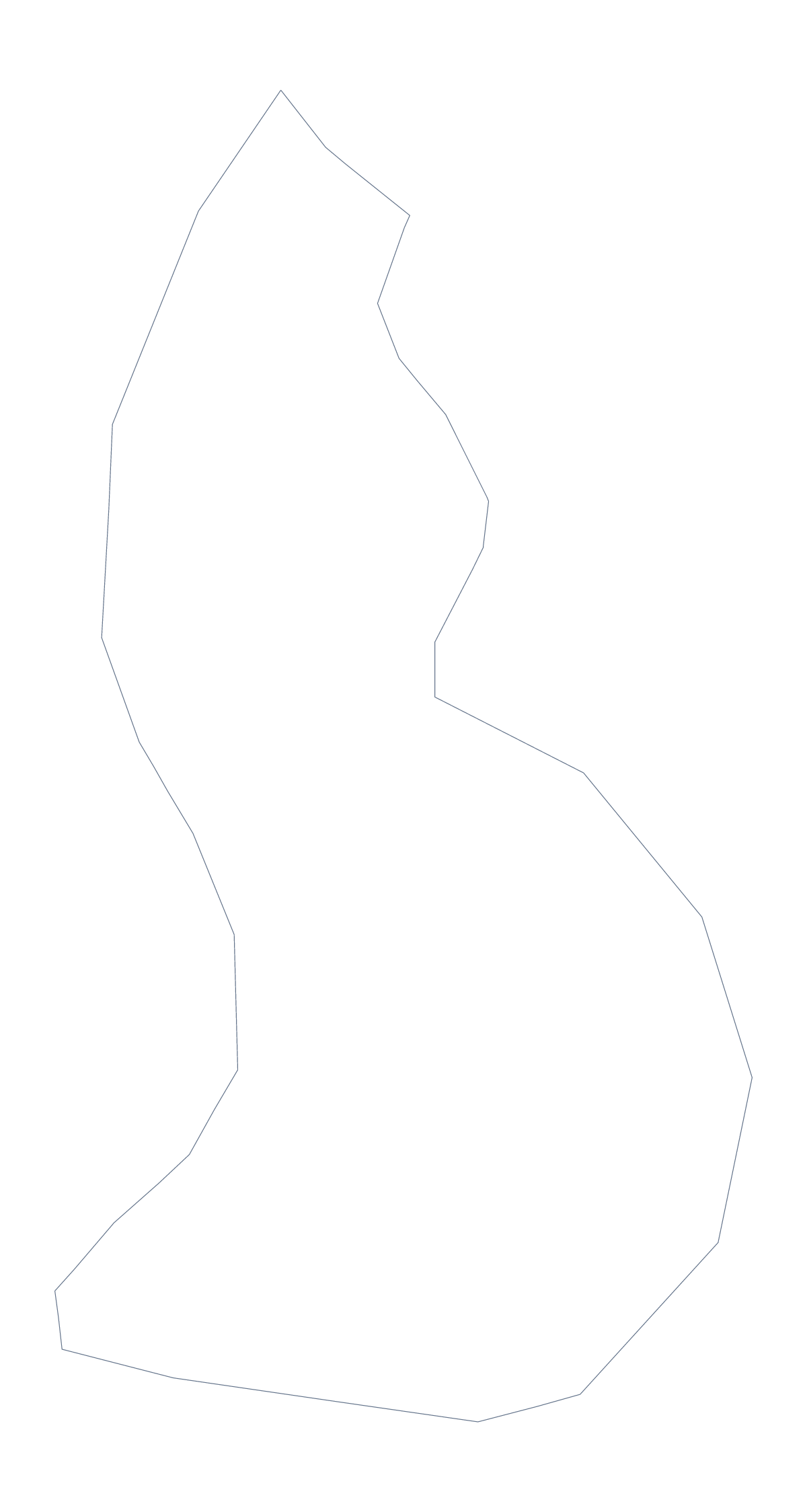
Blank map of Liechtenstein
The outline, free as a PNG, SVG or PDF. Label it, colour it in or drop it into a slide.
Using a blank map of Liechtenstein
This page is for people who need the shape of Liechtenstein inside something else: a slide beside a few figures, a worksheet, a small map marking where an office is. Outline only is the country as one shape, and With borders adds its 11 administrative areas. Each comes as a PNG, an SVG or a PDF for A4 or Letter.
Using a small shape
A country this small is easier to place on a page than to read at a glance, so give it room: the SVG and the PDF are vector files and keep their lines sharp at any size. The PNG suits slides, with its transparent background. On a slide, a small marker for Vaduz beside the shape is often all a location map needs.
Labelling and colouring
With only 11 areas, the With borders PNG fits a matching sheet in your own worksheet: put the names in a word bank around it and let pupils draw a line from each name to its shape, with the list further down this page as the key. Younger children can trace the outline onto thin paper and cut it out for a class display. A quicker starter uses a slide: show Outline only with no title and ask which country it is.
More than an outline
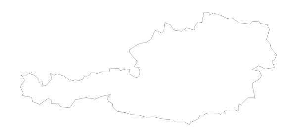
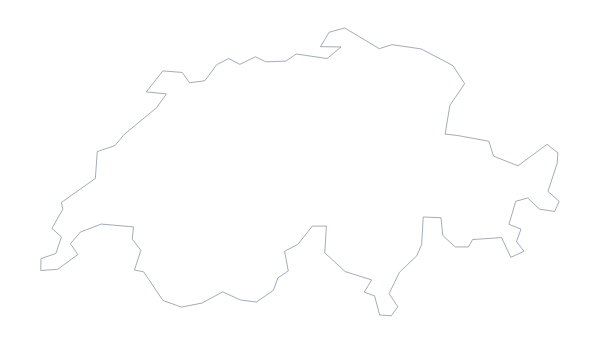
For names, pins or a title, choose Customise this map. The editable page has a Neighbours switch that draws Austria and Switzerland, the two neighbours in the fact sheet, in grey: see the editable map of Liechtenstein. For print choices, use the printable map of Liechtenstein.
How to do it in MapMaker
- Choose With borders for the 11 administrative areas, or Outline only for the whole shape.
- Download the SVG or a PDF if you will enlarge it, or the PNG for a slide.
- Place the file on your page and resize it from a corner.
- Choose Customise this map if you need Vaduz pinned or a title added.
The 11 administrative areas on the map
A key for labelling the map by hand.
- Balzers
- Eschen
- Gamprin
- Mauren
- Planken
- Ruggell
- Schaan
- Schellenberg
- Triesen
- Triesenberg
- Vaduz
Facts about Liechtenstein
Liechtenstein is in Western Europe. The capital is Vaduz. The population is about 38,000 (2019 estimate). Liechtenstein has an area of about 140 km². It borders Austria and Switzerland. The map divides it into 11 administrative areas.
Maps of neighbouring places
Questions people ask
Can I make the outline bigger without it going blurry?
Yes. Choose the SVG or a PDF, which are vector files. Liechtenstein is small on most slides, so a vector file lets you enlarge the shape for a poster with no loss of detail.
What is the difference between Outline only and With borders?
Outline only is Liechtenstein as one shape. With borders draws its 11 administrative areas inside it, which is the political blank map of Liechtenstein. Neither version has names on it.
Does the PNG have a transparent background?
Yes. The PNG has no background colour of its own, so Liechtenstein sits on whatever colour your slide or worksheet has.
Does the blank map show the names of the areas?
No. The list further down this page names the 11 areas that With borders draws, so you can use it to check labels you write in yourself.