Blank map of Switzerland
The outline, free as a PNG, SVG or PDF. Label it, colour it in or drop it into a slide.
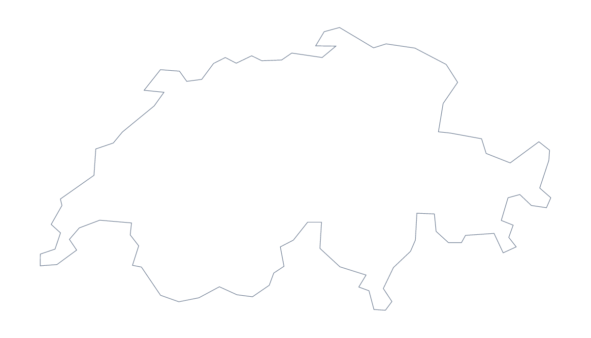
Using a blank map of Switzerland
A blank map of Switzerland tends to end up inside a document that already has a purpose: a revision card, a slide on where a company has offices, an infographic. You choose Outline only for the shape alone or With borders for the 26 administrative areas, then take it as a PNG, an SVG or a PDF.
In a slide or an infographic
Drop the PNG on a slide and the transparent background lets the slide's own colour show through, so only the shape of Switzerland is visible. Layer a few coloured circles over Outline only for office locations, or shade areas on top of With borders in the deck's own palette. In an infographic, the SVG is easier to work with: select an area in Illustrator, Inkscape or Figma and change its fill without touching the others.
As a labelling card
For a revision card, number five areas on the With borders PNG and leave the names blank. The list further down this page serves as the answer sheet. Younger pupils can use Outline only instead and colour the shape of Switzerland for a title page.
Version and format
The political blank map of Switzerland is With borders; Outline only suits a silhouette. PNG fits documents and slides, SVG fits design work and any size, and the PDF prints on A4 or Letter at 100%. For ink and paper options, go to the printable map of Switzerland. If the map needs names or a title, Customise this map opens the editor.
How to do it in MapMaker
- Pick With borders for the 26 administrative areas, or Outline only for the bare shape.
- Download the PNG for a slide or card, the SVG for a design tool or PDF, A4 or PDF, Letter.
- Place the file on your page, resize it from a corner and add numbers or labels of your own.
- Choose Customise this map for names, colours or a title, and download from the editor.
The 26 administrative areas on the map
A key for labelling the map by hand.
- Aargau
- Appenzell Ausserrhoden
- Appenzell Innerrhoden
- Basel-Landschaft
- Basel-Stadt
- Bern
- Fribourg
- Geneva
- Glarus
- Grisons
- Jura
- Lucerne
- Neuchâtel
- Nidwalden
- Obwalden
- Schaffhausen
- Schwyz
- Solothurn
- St. Gallen
- Thurgau
- Ticino
- Uri
- Valais
- Vaud
- Zug
- Zürich
Facts about Switzerland
Switzerland is in Western Europe. The capital is Bern. The population is about 8.6 million (2019 estimate). Switzerland has an area of about 41,300 km². The largest cities are Geneva, Zürich, Basel, Bern and Lausanne. It borders Austria, France, Germany, Italy and Liechtenstein. The map divides it into 26 administrative areas.
Maps of neighbouring places
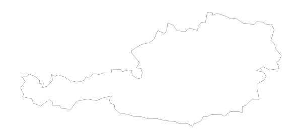
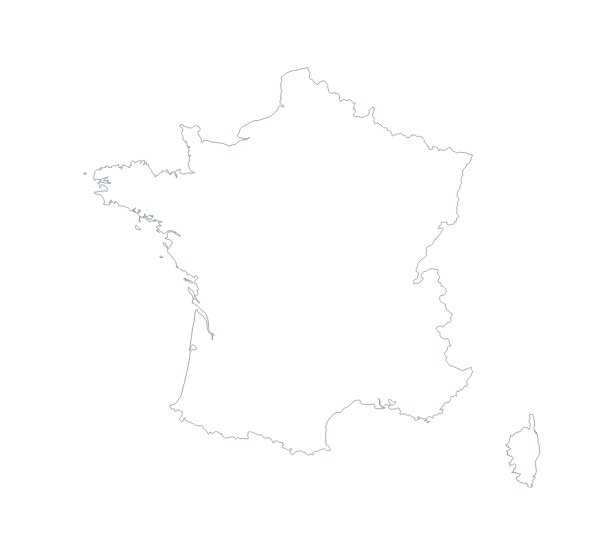
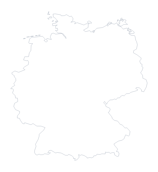
Questions people ask
How many administrative areas does the blank map of Switzerland show?
The With borders version shows 26, each as its own shape with no name. Outline only draws the outer shape of Switzerland and nothing inside it.
Is there a political blank map of Switzerland?
Yes. The With borders version is the political blank map, with the 26 administrative areas drawn in and no names. The list further down this page gives the names for checking answers.
Can I open the SVG in Illustrator, Inkscape or Figma?
Yes. The SVG is a vector file, so Switzerland and its area lines stay sharp at any size, and you can recolour, thicken or trace them in a design tool.
How is this different from the printable map of Switzerland?
This page gives the outline as a file for your own worksheet, slide or design: a PNG, an SVG or a PDF. The printable page is about the sheet of paper, with ink and paper choices.