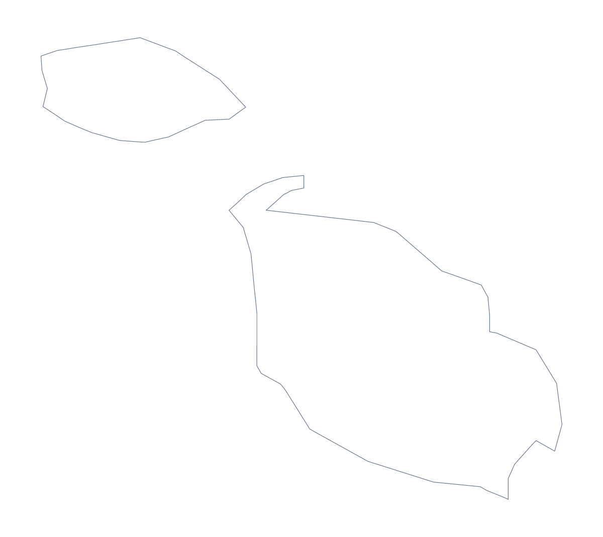
Blank map of Malta
The outline, free as a PNG, SVG or PDF. Label it, colour it in or drop it into a slide.
Using a blank map of Malta
For a map of Malta you will use in your own work, the main question is how big the shape has to be. Outline only is the country as one shape, easy on any slide. With borders draws its 68 administrative areas, which are small, so it pays to take a file that scales. Each version comes as a PNG on a transparent background, an SVG or a PDF for A4 or Letter.
Big enough to read
For a poster or a display board, take the SVG or a PDF. Both are vector files, so the lines between the 68 areas stay sharp however far you enlarge them. On a slide, the PNG is enough, and its transparent background takes the slide's own colour.
In a design tool
Open the SVG in Illustrator, Inkscape or Figma and mark Valletta with a star of your own. Recolour a few areas, for example Mdina and Victoria, in your brand palette, and leave the rest pale; or keep Outline only as a plain silhouette for a cover or a logo sketch.
A short labelling task
The political blank map of Malta is the With borders version, and with no names on it, pupils can fill them in. Fill five areas on a slide rather than all 68, one at a time, and ask the class which each is; the list further down this page is the answer sheet.
Beyond the outline
For names, pins or colours, Customise this map opens the same outline in the editor. For print choices, see the printable map of Malta.
How to do it in MapMaker
- Choose With borders for the 68 administrative areas, or Outline only for the plain shape.
- Download the SVG or a PDF when the map will be enlarged, or the PNG for a slide.
- Place the file on your page and resize it from a corner.
- Choose Customise this map for names, pins or colours.
The 68 administrative areas on the map
A key for labelling the map by hand.
- Attard
- Balzan
- Birgu
- Birkirkara
- Birżebbuġa
- Cospicua
- Dingli
- Fgura
- Floriana
- Fontana
- Gudja
- Gżira
- Għajnsielem
- Għarb
- Għargħur
- Għasri
- Għaxaq
- Iklin
- Kalkara
- Kerċem
- Kirkop
- Lija
- Luqa
- Marsa
- Marsaskala
- Marsaxlokk
- Mdina
- Mellieħa
- Mġarr
- Mosta
- Mqabba
- Msida
- Mtarfa
- Munxar
- Nadur
- Naxxar
- Paola
- Pembroke
- Pietà
- Qala
- Qormi
- Qrendi
- Rabat
- Safi
- Saint Lawrence
- San Ġwann
- Sannat
- Santa Luċija
- Santa Venera
- Senglea
- Siġġiewi
- Sliema
- St. Julian's
- St. Paul's Bay
- Swieqi
- Ta' Xbiex
- Tarxien
- Valletta
- Victoria
- Xagħra
- Xewkija
- Xgħajra
- Żabbar
- Żebbuġ
- Żebbuġ Gozo
- Żejtun
- Żurrieq
- Ħamrun
Facts about Malta
Malta is in Southern Europe. The capital is Valletta. The population is about 500,000 (2019 estimate). Malta has an area of about 330 km². Across the sea, its neighbours include Italy. The map divides it into 68 administrative areas.
Maps of neighbouring places
Questions people ask
Can I make the outline bigger without it going blurry?
Yes. The SVG and the PDF are vector files, so Malta can fill a poster and each of its small areas keeps a sharp line. Use the PNG at the size it comes, for slides.
Is there a political blank map of Malta?
Yes: With borders, which draws the 68 administrative areas with no names. It suits a labelling task that uses a short list, or a design that needs the area lines.
Does the PNG have a transparent background?
Yes. Everything around Malta is see-through, so the shape takes the colour of the slide or page it sits on.
Does the blank map show the names of the areas?
No. The list further down this page names all 68, so you can use it to check labels you add yourself.