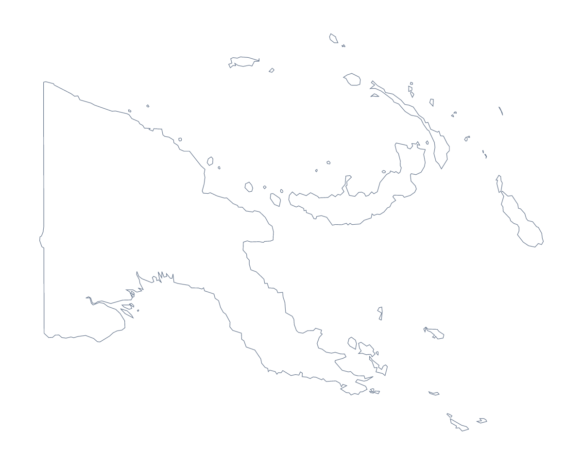
Blank map of Papua New Guinea
The outline, free as a PNG, SVG or PDF. Label it, colour it in or drop it into a slide.
Using a blank map of Papua New Guinea
The shape of Papua New Guinea turns up inside other things: a slide in a development report, a cover for a project folder, a quiz in a document you have written yourself. This page gives you the shape as a file. Outline only is the country with nothing inside it, and With borders adds its 20 administrative areas. Each comes as a PNG, an SVG or a PDF.
In a report or on a slide
Place the transparent PNG on a slide and it takes the colour of your theme, with no white box around it. A title and three figures can sit beside it. For a cover or a poster, open the SVG in a design tool and give the lines a heavier weight, or recolour each area in the palette of the report.
A quiz on a slide
Put the With borders PNG on a slide and draw a small circle over one area, such as Milne Bay. Ask the class to name it, then copy the slide and move the circle to Oro, then to Western Highlands. The list of administrative areas further down this page is the answer sheet, and a "which country is this?" slide with Outline only can open the round.
Which version, which file
For anything with areas to name, take With borders; for a silhouette, a logo sketch or a calm background, take Outline only. PNG is for documents and slides, SVG for design tools and enlarging, PDF for printing. Choose Customise this map when the map needs names, colours or a title. For black and white or print options, see the printable map of Papua New Guinea.
How to do it in MapMaker
- Choose With borders to get the 20 administrative areas, or Outline only for the plain shape.
- Pick PNG for a slide or a document, SVG for a design tool or a PDF for A4 or Letter.
- Place the PNG on your slide and drag a corner to resize it, so the proportions hold.
- Draw a circle over one area at a time on a slide, and check the class's answers against the list on this page.
- Choose Customise this map to add names, colours or a title, then download from the editor.
The 20 administrative areas on the map
A key for labelling the map by hand.
- Central
- Chimbu
- East New Britain
- East Sepik
- Eastern Highlands
- Enga
- Gulf
- Madang
- Manus
- Milne Bay
- Morobe
- New Ireland
- of Bougainville
- Oro
- Port Moresby
- Sandaun
- Southern Highlands
- West New Britain
- Western
- Western Highlands
Facts about Papua New Guinea
Papua New Guinea is in Melanesia. The capital is Port Moresby. The population is about 8.8 million (2019 estimate). Papua New Guinea has an area of about 467,000 km². The largest cities are Port Moresby, Lae, Madang, Mt. Hagen and Arawa. It borders Indonesia. The map divides it into 20 administrative areas.
Maps of neighbouring places
Questions people ask
What is the difference between Outline only and With borders?
Outline only is the shape of Papua New Guinea with nothing inside it. With borders adds the lines between its 20 administrative areas. Neither version has names on it, so you can add your own.
Is there a political blank map of Papua New Guinea?
Yes, the With borders version is the political blank map: the country with all 20 administrative areas drawn in and no labels. The list further down this page names each area for checking answers.
Which file should I use in a worksheet, a slide or a design?
Use the PNG in a worksheet or slide, since its transparent background takes the colour behind it. Use the SVG in Illustrator, Inkscape or Figma, and the PDF when you want the outline on A4 or Letter.
Can I make the outline bigger without it going blurry?
Yes. The SVG and the PDF are vector files, so their lines stay sharp however far you enlarge them. The PNG is best at about the size you place it.