Blank map of Indonesia
The outline, free as a PNG, SVG or PDF. Label it, colour it in or drop it into a slide.
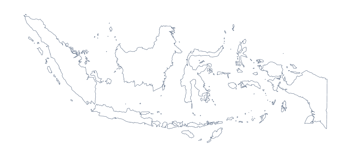
Using a blank map of Indonesia
Indonesia is wide, and in a document that is a design problem: where does a shape this long go on a page? This page gives you the outline as a file to decide for yourself. Outline only is the shape, and With borders adds the 33 administrative areas. Each comes as a PNG on a transparent background, an SVG and a PDF.
Fitting a wide shape
For a slide, place the PNG across the full width and keep the title above it; a transparent background means the slide's colour stays visible. For a poster or a banner, the SVG is the better file: in Illustrator, Inkscape or Figma it stretches to any size, and the 33 shapes can take their own fills. A PDF on A4 or Letter is best turned to landscape.
Labelling with a list
With borders is the political blank map of Indonesia, with every area drawn and none named. A good worksheet asks pupils to name only some: say Aceh, Bali, Banten, Lampung, Riau and Gorontalo, numbered on your copy. The list below this page is the answer sheet. For a harder version, number more areas and drop the answer list from the copy you hand out.
Which version, and what next
Outline only is the silhouette: good for icons, a first drawing and for tracing. With borders is for any task that names or colours areas. If you need names printed on, pins or a title, Customise this map opens the outline in the editor. For paper choices such as black and white, see the printable map of Indonesia.
How to do it in MapMaker
- Choose With borders for the 33 areas, or Outline only for the shape alone.
- Download the PNG for a slide or worksheet, the SVG for a design tool or the PDF for A4 or Letter.
- Place the file in landscape and number the areas you want named.
- Check answers against the list of areas further down this page.
- For names, pins or colours on the map, choose Customise this map.
The 33 administrative areas on the map
A key for labelling the map by hand.
- Aceh
- Bali
- Bangka Belitung Islands
- Banten
- Bengkulu
- Central Java
- Central Kalimantan
- Central Sulawesi
- East Java
- East Kalimantan
- East Nusa Tenggara
- Gorontalo
- Jakarta
- Jambi
- Lampung
- Maluku
- North Maluku
- North Sulawesi
- North Sumatra
- Papua
- Riau
- Riau Islands
- South Kalimantan
- South Sulawesi
- South Sumatra
- Southeast Sulawesi
- West Java
- West Kalimantan
- West Nusa Tenggara
- West Papua
- West Sulawesi
- West Sumatra
- Yogyakarta
Facts about Indonesia
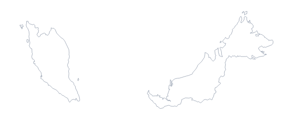
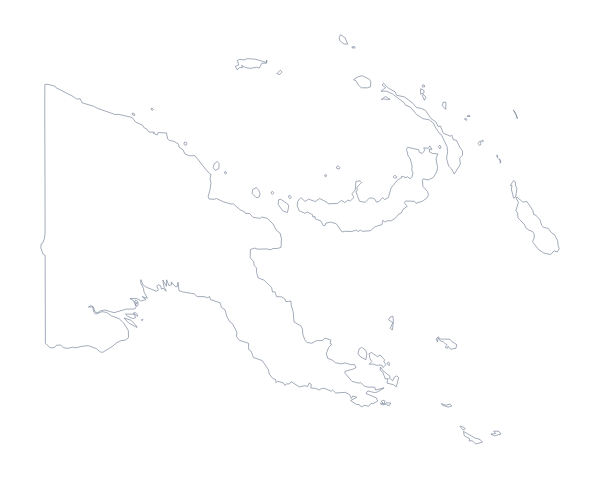
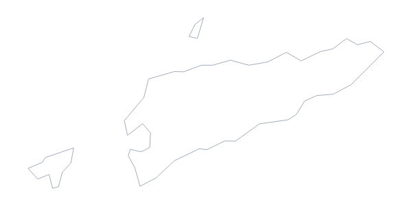
Indonesia is in South-Eastern Asia. The capital is Jakarta. The population is about 270 million (2019 estimate). Indonesia has an area of about 1,890,000 km². The largest cities are Jakarta, Surabaya, Bandung, Bekasi and Medan. It borders Malaysia, Papua New Guinea and Timor-Leste. The map divides it into 33 administrative areas.
Maps of neighbouring places
Questions people ask
Is there a political blank map of Indonesia?
Yes: it is the With borders version. It draws the lines of the 33 administrative areas with no names on them, so pupils can label each one from the list further down this page.
Can I make the outline bigger without it going blurry?
Yes. The SVG and the PDF are vector files, so Indonesia can be scaled up to a wall map without the lines softening. Open the SVG in Illustrator, Inkscape or Figma to resize it.
Does the PNG have a transparent background?
Yes. Place the PNG on a slide or a page and the colour behind it shows through, so only the shape of Indonesia is drawn. That suits a slide with its own colour scheme.
Is there an answer key for a labelling quiz?
Yes. The list of the 33 administrative areas on this page is the key, so a worksheet can be marked against it, or you can copy the names you need into your own answer sheet.