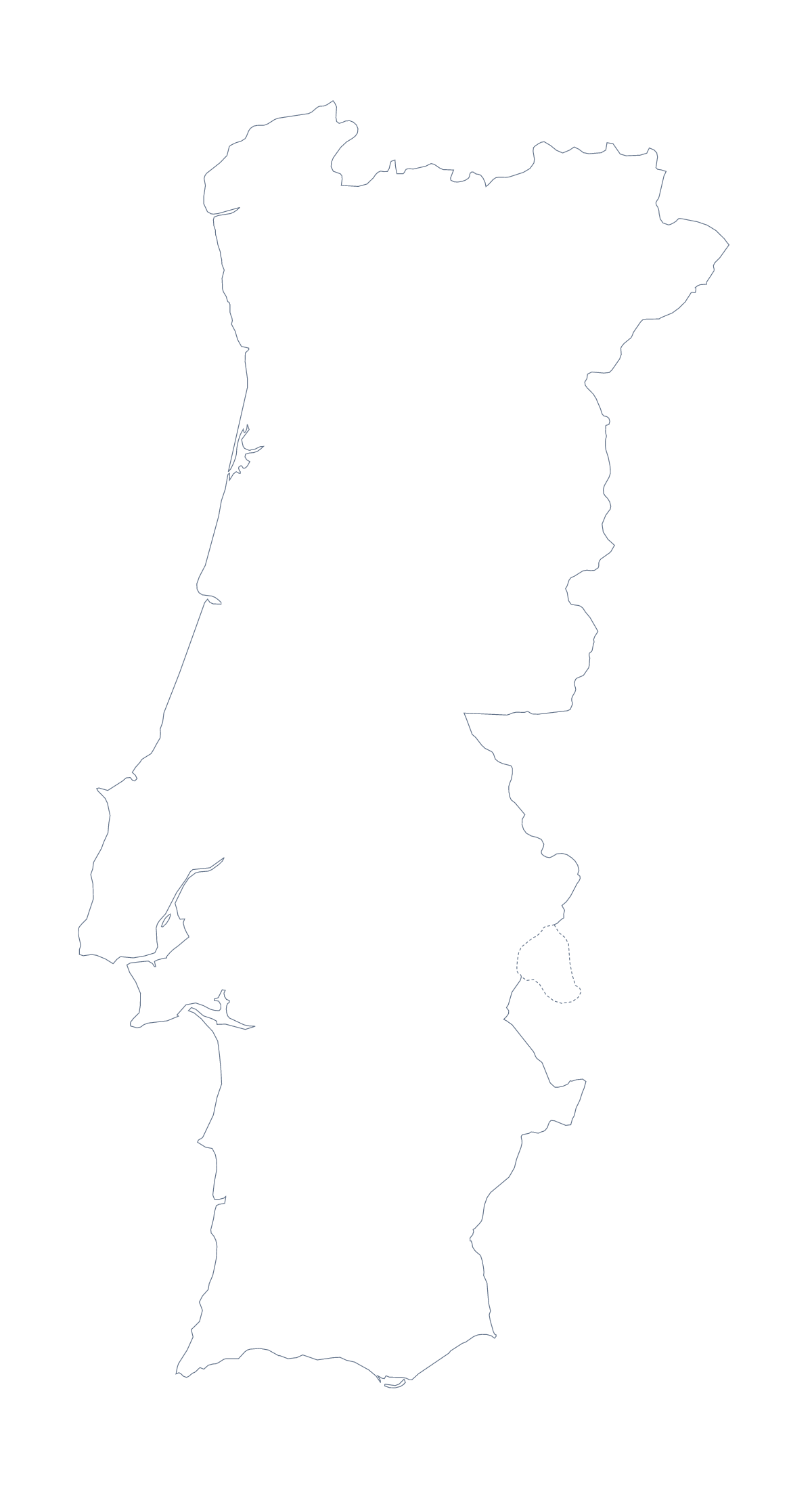
Blank map of Portugal
The outline, free as a PNG, SVG or PDF. Label it, colour it in or drop it into a slide.
Using a blank map of Portugal
Anyone making their own Portugal graphic, such as a menu cover, a quiz card or a slide for a talk, starts with the shape. This page supplies it in two versions: Outline only, with nothing inside, and With borders, which adds the 20 administrative areas. Each is a PNG on a transparent background, an SVG or a PDF.
A quiz card or a handout
For a labelling handout, place the PNG of With borders in your document and number a few areas, say Guarda, Viseu, Viana do Castelo and Bragança. Pupils write a name beside each number, and the list further down this page is the answer sheet. To make it easier, supply the names in a word bank beside the map. A quick warm-up on a slide shows Outline only with no title and asks which country it is.
Design work from the SVG
Open the SVG in Illustrator, Inkscape or Figma and the outline stays sharp at any size. Fill the shape with a single colour for a cover, trace it for a stamp or a logo sketch or colour the areas in a palette to match an event. The areas of With borders are separate shapes, so each can take its own fill.
Choosing the version
The political blank map of Portugal is the With borders version. Outline only suits a silhouette or a design where the inner lines would crowd a title. For ink and paper options, use the printable map of Portugal; to show Spain beside Portugal, add names or a title, Customise this map opens the same outline in the editor. The PDF prints at 100% on A4 or Letter.
How to do it in MapMaker
- Choose With borders for the 20 areas, or Outline only for the shape of the country.
- Download the PNG for a slide or worksheet, the SVG for a design tool or a PDF for A4 or Letter.
- Place the file on your page and resize it from a corner.
- Number the areas for a quiz and check answers against the list on this page.
- Choose Customise this map for names, colours, a title or the country around it.
The 20 administrative areas on the map
A key for labelling the map by hand.
- Aveiro
- Azores
- Beja
- Braga
- Bragança
- Castelo Branco
- Coimbra
- Évora
- Faro
- Guarda
- Leiria
- Lisbon
- Madeira
- Portalegre
- Porto
- Santarém
- Setúbal
- Viana do Castelo
- Vila Real
- Viseu
Facts about Portugal
Portugal is in Southern Europe. The capital is Lisbon. The population is about 10 million (2019 estimate). Portugal has an area of about 91,300 km². The largest cities are Lisbon, Porto, Braga, Funchal and Setúbal. It borders Spain. The map divides it into 20 administrative areas.
Maps of neighbouring places
Questions people ask
Is there a political blank map of Portugal?
Yes. With borders is the political blank map of Portugal: it draws the 20 administrative areas with no names, and the list further down this page names every one.
Does the PNG have a transparent background?
Yes. Everything around the outline is see-through, so Portugal takes the colour of the slide, card or poster you put it on.
Which file should I use in a worksheet, a slide or a design?
The PNG for a worksheet or slide, the SVG for Illustrator, Inkscape or Figma, and the PDF for printing on A4 or Letter as it stands.
How is this different from the printable map of Portugal?
This page gives the outline as files to place in your own work. The printable page has ready-made PDFs in colour or black and white, and colouring tools before you print.