Blank map of Spain
The outline, free as a PNG, SVG or PDF. Label it, colour it in or drop it into a slide.
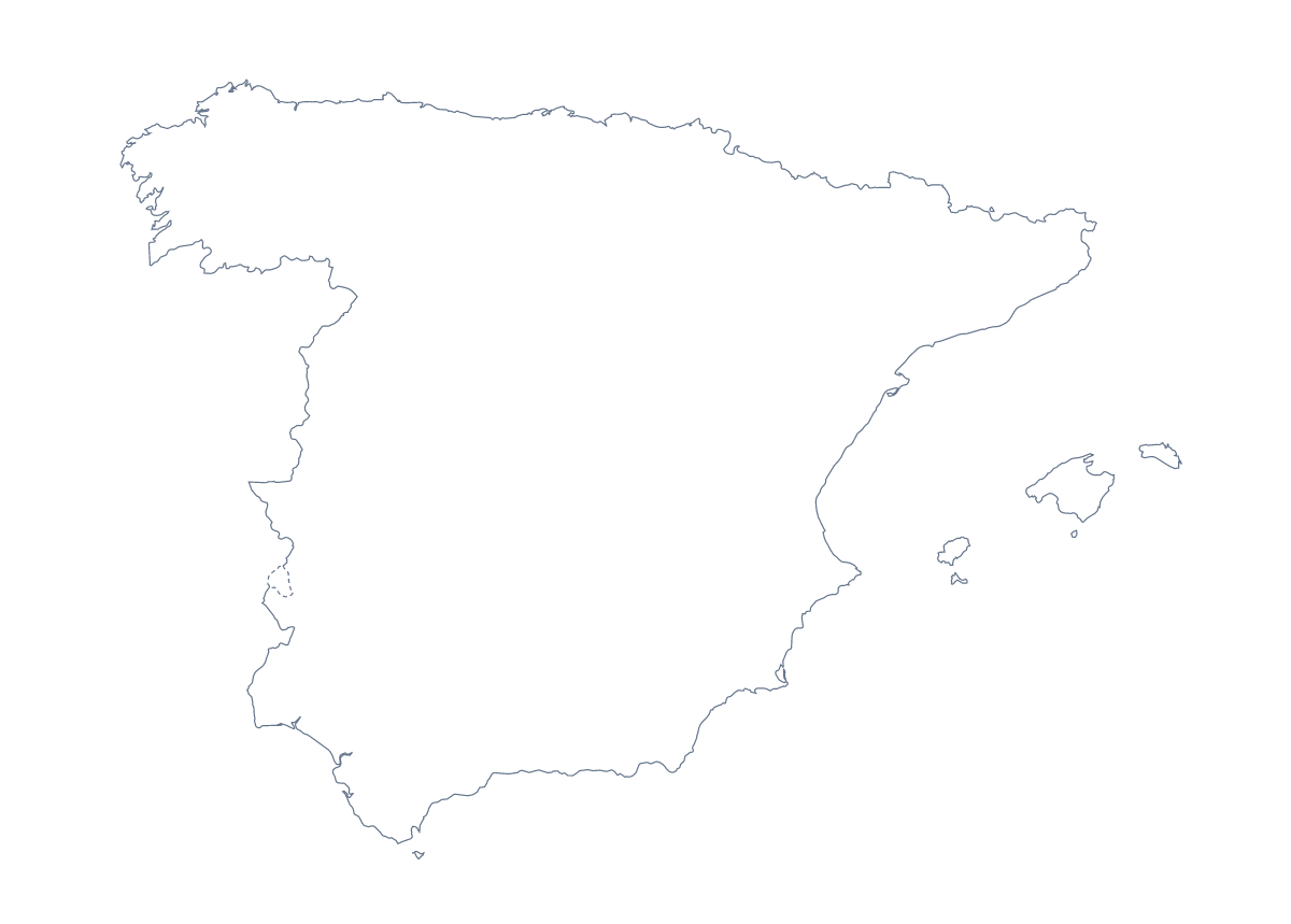
Using a blank map of Spain
A blank map of Spain is a starting file: something to build a worksheet, a slide or a piece of artwork on. It comes in two versions, Outline only for the shape of the country and With borders for the 50 provinces and the autonomous cities of Ceuta and Melilla, and in three formats: a PNG with a transparent background, an SVG and a PDF.
As a slide
The PNG takes the colour of whatever you put it on. Spain on a dark title slide shows only the shape, and the With borders PNG gives you the province lines to build on. If your talk concerns where a product sells, the outline tells the story without labels.
As a design
Open the SVG in Illustrator, Inkscape or Figma and the country is yours to restyle: fill it with a pattern, thicken the line or recolour a province such as Girona or Cádiz. Scaling does not blur it.
As a worksheet
Put the With borders PNG on a page, draw an arrow from a handful of provinces to empty boxes and ask for the names. The list further down this page holds every one, Ceuta and Melilla included. A different task has pupils invent a key, such as the season they would visit in, and colour each province by it. Younger pupils can colour Outline only in one colour and add a title.
Choosing
The political blank map of Spain is With borders. Outline only serves a silhouette. The PDF goes on A4 or Letter at 100%; the printable map of Spain has the print choices. The provinces alone have their own blank map of the Spanish provinces, and Customise this map adds names, colours or a title.
How to do it in MapMaker
- Choose With borders for the provinces, or Outline only for the shape of Spain.
- Download the PNG for a slide or worksheet, the SVG for a design tool or PDF, A4 or PDF, Letter.
- Place the file on your page and resize it from a corner so Spain keeps its proportions.
- Choose Customise this map for names, colours or a title, and download from the editor.
The 50 provinces and the autonomous cities of Ceuta and Melilla on the map
A key for labelling the map by hand.
- A Coruña
- Albacete
- Alicante
- Almería
- Araba / Álava
- Asturias
- Ávila
- Badajoz
- Balearic Islands
- Barcelona
- Biscay
- Burgos
- Cáceres
- Cádiz
- Cantabria
- Castellón
- Ceuta
- Ciudad Real
- Community of Madrid
- Córdoba
- Cuenca
- Gipuzkoa
- Girona
- Granada
- Guadalajara
- Huelva
- Huesca
- Jaén
- La Rioja
- Las Palmas
- León
- Lleida
- Lugo
- Málaga
- Melilla
- Murcia
- Navarre
- Ourense
- Palencia
- Pontevedra
- Salamanca
- Santa Cruz de Tenerife
- Segovia
- Seville
- Soria
- Tarragona
- Teruel
- Toledo
- Valencia
- Valladolid
- Zamora
- Zaragoza
Facts about Spain
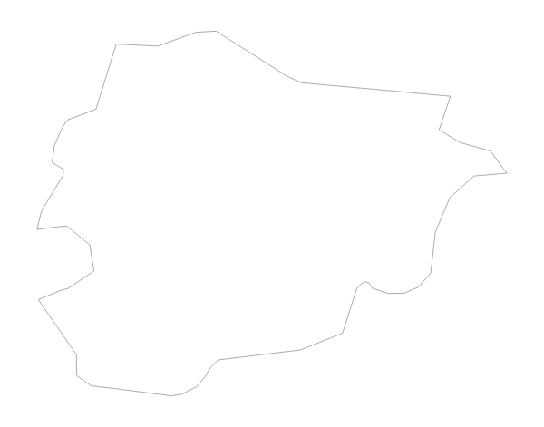
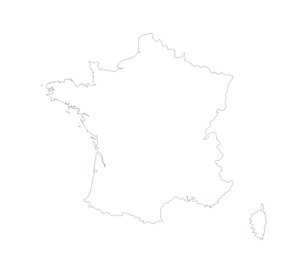
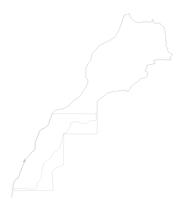
Spain is in Southern Europe. The capital is Madrid. The population is about 47 million (2019 estimate). Spain has an area of about 506,000 km². The largest cities are Madrid, Barcelona, Seville, Bilbao and Valencia. It borders Andorra, France, Gibraltar, Morocco and Portugal. The map divides it into 50 provinces and the autonomous cities of Ceuta and Melilla.
Maps of neighbouring places
Questions people ask
Is there a political blank map of Spain?
Yes. It is the With borders version, which draws 50 provinces and the autonomous cities of Ceuta and Melilla as separate shapes, without names. Outline only has no inner lines.
Which file should I use in a worksheet, a slide or a design?
A PNG for a worksheet or slide, because its transparent background takes your colour. An SVG for Illustrator, Inkscape or Figma, where it can be restyled at any size. A PDF on A4 or Letter when the plan is to print it.
Is there a blank map of the Spanish provinces on their own?
Yes. The blank map of the Spanish provinces has its own page, with the provinces as the main version. This page is the country, with Outline only and With borders.
Is there an answer key for a labelling quiz?
Yes. The list of provinces further down this page names all of them, with Ceuta and Melilla, so you can number any set of shapes on the PNG and mark answers against it.