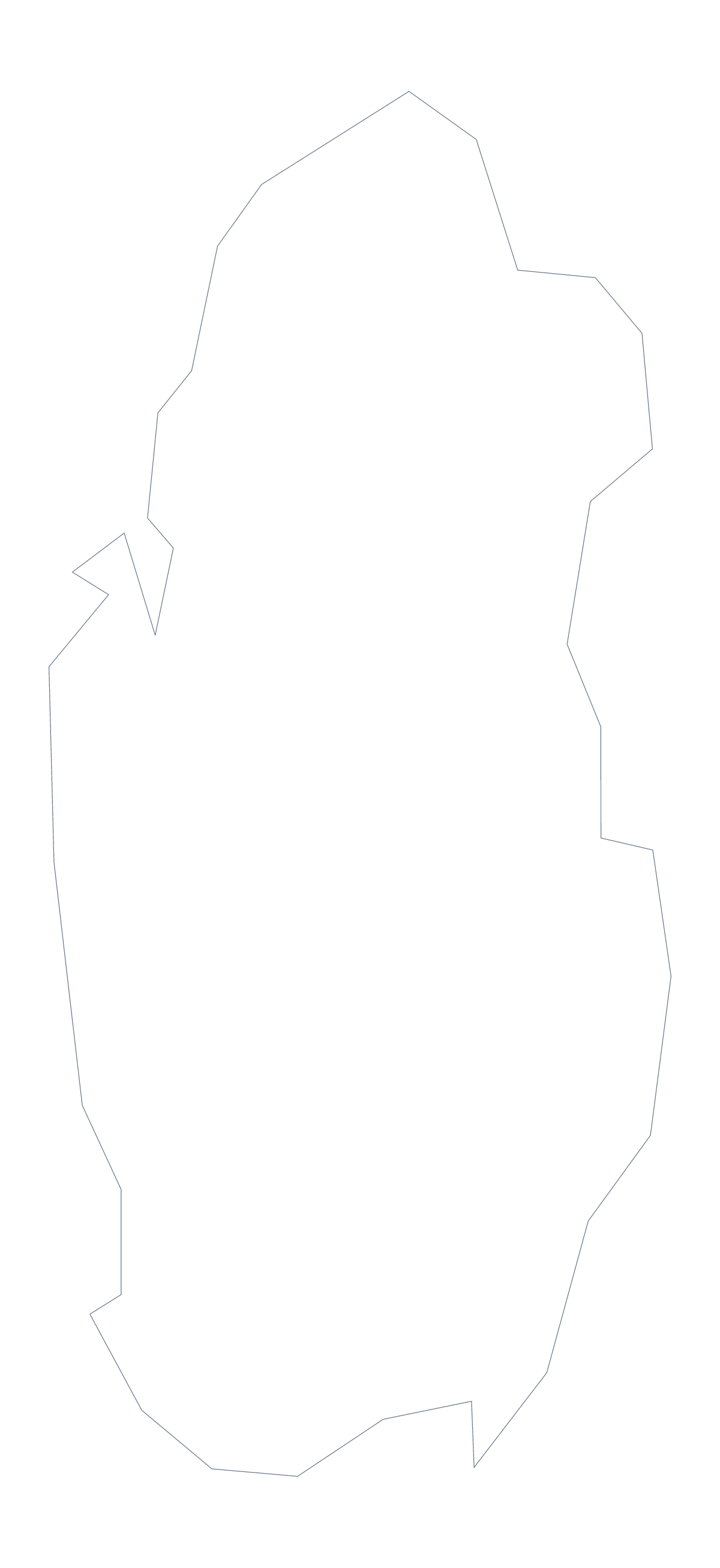
Blank map of Qatar
The outline, free as a PNG, SVG or PDF. Label it, colour it in or drop it into a slide.
Using a blank map of Qatar
Qatar is a simple shape that is easy to place in your own work. This page has it in two versions: Outline only, and With borders, which draws its 7 administrative areas. Each is a PNG on a transparent background, an SVG and a PDF.
A shape to design with
Because the outline is a single compact form, it works as a graphic element: a corner mark on a report, a watermark behind a title, the base for an icon. Open the Outline only SVG in a design tool, fill it with your brand colour and place it. With the With borders SVG, you can give each of the 7 areas a tone from one palette, with Doha in the strongest.
Labelling and quizzes
The political blank map of Qatar is the With borders version. Add numbers to all 7 areas in a worksheet and ask for the names; the list further down this page is the answer sheet. The task fits a short starter, or a homework sheet. For a younger group, Outline only is the cleaner file for a title page.
A slide with a clear map
On a slide, the transparent PNG lets the slide colour show around the shape. Pair the outline with two or three figures in large type, or place pins and labels in your own slide tools. A map this small can sit on a card at the side of the slide.
Files
PNG for slides and documents, SVG for design tools and large sizes, PDF for A4 or Letter. For print choices, see the printable map of Qatar. Customise this map opens the editor to add names, colours or a title.
How to do it in MapMaker
- Choose With borders for the 7 areas, or Outline only for the shape.
- Download the SVG for a design tool, or the PNG for a slide or worksheet.
- Place it on your page; the transparent background shows your own colour.
- Choose Customise this map to add names, colours or a title first.
The 7 administrative areas on the map
A key for labelling the map by hand.
- Al Daayen
- Al Khor
- Al Rayyan
- Al Wakrah
- Doha
- Madinat ash Shamal
- Umm Salal
Facts about Qatar
Qatar is in Western Asia. The capital is Doha. The population is about 2.8 million (2019 estimate). Qatar has an area of about 11,200 km². It borders Saudi Arabia. The map divides it into 7 administrative areas.
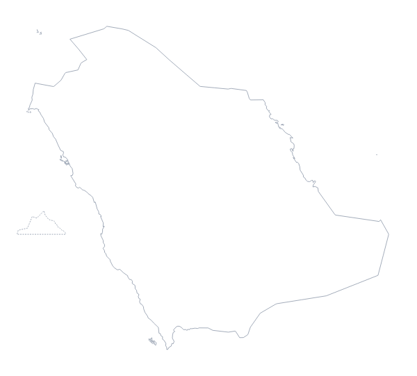
Maps of neighbouring places
Questions people ask
What is the difference between Outline only and With borders?
Outline only is the shape of Qatar with nothing inside it. With borders draws the lines between its 7 administrative areas, with no names, so it suits labelling or colouring each area.
Is there a political blank map of Qatar?
Yes. The With borders version is the political blank map of Qatar: 7 areas, no names, and a list further down this page to check labels against.
Can I open the SVG in Illustrator, Inkscape or Figma?
Yes. It is a vector file, so it opens in all three and scales without blurring. With only 7 areas, it is quick to recolour each one.
Is this blank map of Qatar free?
Yes. The PNG, the SVG and the PDF on A4 or Letter are free to download in both versions, with no sign-up.