Blank map of San Marino
The outline, free as a PNG, SVG or PDF. Label it, colour it in or drop it into a slide.
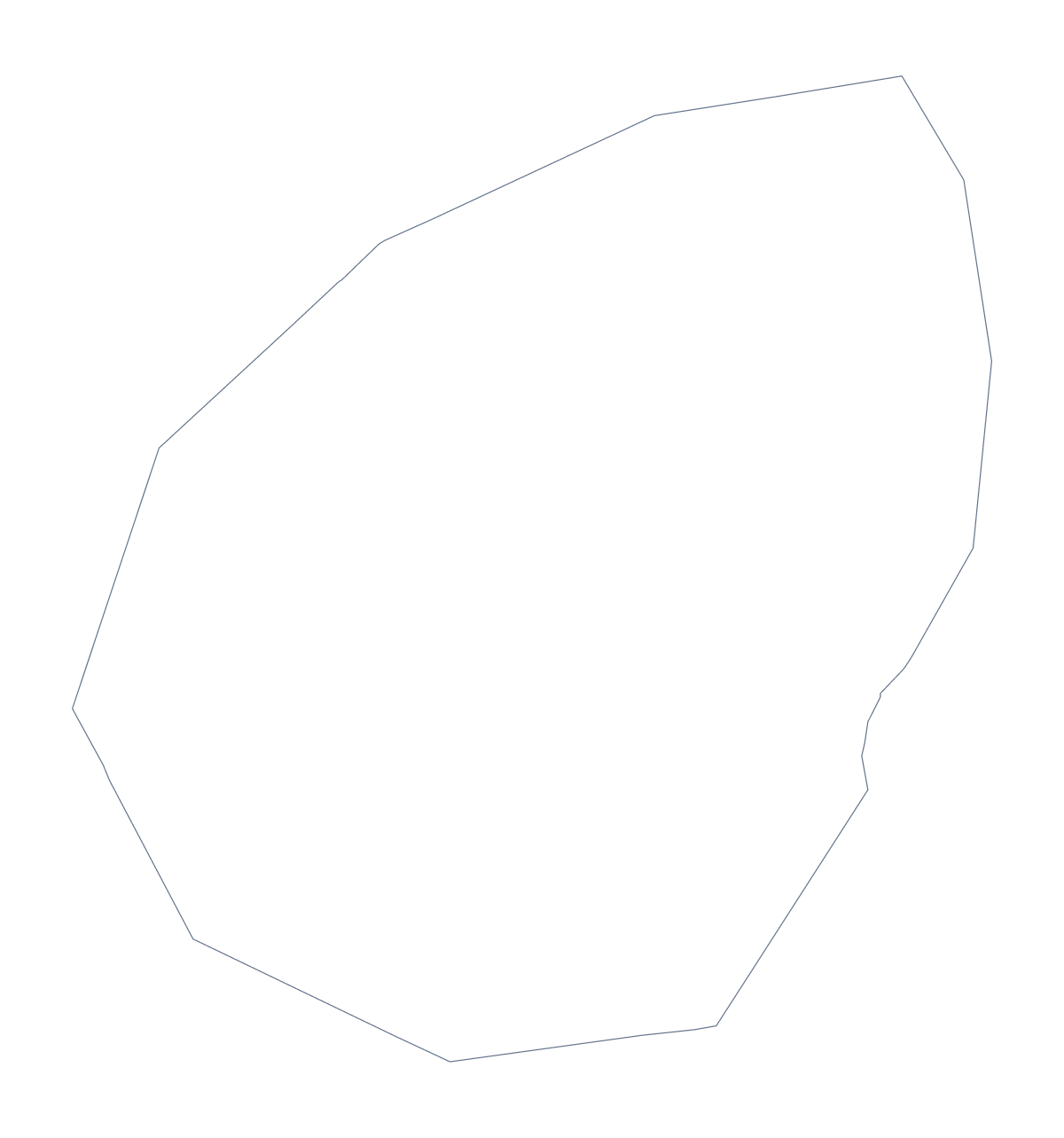
Using a blank map of San Marino
For a country this size, a blank map usually becomes a detail inside something bigger: an inset on a poster, a corner of a leaflet, a slide beside a larger map. This page gives you the shape of San Marino as a file. Outline only is the plain shape; With borders adds the lines between its 9 administrative areas. Each version is a PNG, an SVG or a PDF.
A small shape on a big page
The PNG has a transparent background, so you can drop San Marino onto a map of your own, a colour block or a photo without a white box around it. Scale it up and the SVG stays sharp: in Illustrator, Inkscape or Figma you can recolour one area, thicken the outline or cut the shape out as a badge for a leaflet.
Labelling and quizzes
With borders has no names, which is the point. Put numbers on three or four areas in your worksheet and let pupils fill in the names; the list further down this page is the answer sheet. For a slide, fill the areas a project covers in one colour and leave the others pale, so the small country reads at a glance.
Which version
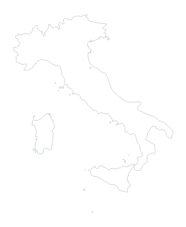
The political blank map of San Marino is the With borders version. Outline only suits a silhouette or a young child who only needs the shape. Both versions come as a PDF on A4 or Letter. If you want names, a title or the surrounding country, choose Customise this map; for choices of paper and ink, go to the printable map of San Marino. To see the neighbour that sits beside it, there is the blank map of Italy.
How to do it in MapMaker
- Choose With borders to show the 9 administrative areas, or Outline only for the bare shape.
- Download the PNG to place on a page, the SVG for a design tool or a PDF on A4 or Letter.
- Scale the file from a corner so the proportions stay right, and add your own numbers or labels.
- Choose Customise this map if you need names or colours, and download from the editor.
The 9 administrative areas on the map
A key for labelling the map by hand.
- Acquaviva
- Borgo Maggiore
- Chiesanuova
- Domagnano
- Faetano
- Fiorentino
- Montegiardino
- San Marino
- Serravalle
Facts about San Marino
San Marino is in Southern Europe. The capital is San Marino. The population is about 34,000 (2019 estimate). It borders Italy. The map divides it into 9 administrative areas.
Maps of neighbouring places
Questions people ask
What is the difference between Outline only and With borders?
Outline only is the shape of San Marino with nothing inside it. With borders draws the lines between its 9 administrative areas. Neither version has any names, so labels are yours to add.
Is there a political blank map of San Marino?
Yes: the With borders version is the political blank map. It shows the 9 administrative areas as separate shapes, and the list further down this page gives their names for checking answers.
Which file should I use in a worksheet, a slide or a design?
Use the PNG in a worksheet or slide, since its background is transparent. Use the SVG in Illustrator, Inkscape or Figma, where the lines stay sharp at any size. The PDF is for printing.
Can I show the countries around San Marino?
Not on this page, which has the outline only. Open the editable map of San Marino and switch on Neighbours to draw Italy in grey around it.