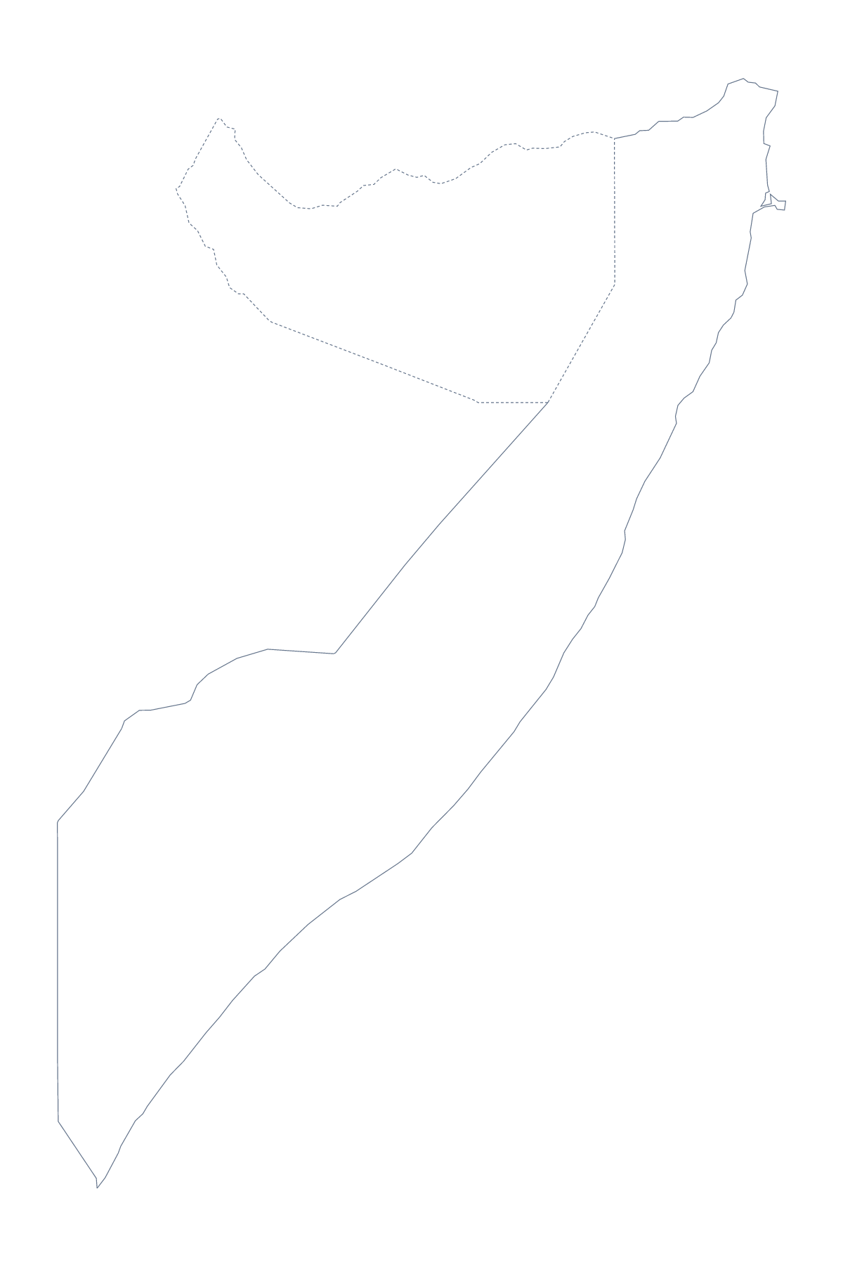
Blank map of Somalia
The outline, free as a PNG, SVG or PDF. Label it, colour it in or drop it into a slide.
Using a blank map of Somalia
Reports, slides and worksheets about Somalia all start from the same thing: a clean shape to put your own material on. You can take it two ways. Outline only is the country with nothing inside it, and With borders adds its 13 administrative areas. Each version comes as a PNG, an SVG and a PDF.
Pin your own findings on the shape
A researcher can place the PNG at the centre of a page and draw boxes around it with arrows to Mogadishu, Kismaayo, Jamaame, Baydhabo and Jawhar, one short note in each box. The shape stays unchanged whatever is written around it.
For a briefing, use With borders and number a handful of areas, such as Banaadir, Galguduud, Lower Juba and Middle Shebelle, with a numbered note for each under the map. The list below the steps gives the spellings.
Design and slides
The SVG opens in Illustrator, Inkscape or Figma with the areas as separate shapes. Fill a few with a strong colour and leave the rest pale to build a one-image summary for a report cover. On a slide, the transparent PNG takes the slide's own background, so a title and three figures can sit beside the country.
Which outline to take
The political blank map of Somalia is the With borders version: the 13 area lines and no names, which suits quizzes and labelling. Outline only suits a silhouette, a cover or younger pupils. Choose a PNG for worksheets and slides, an SVG for design tools and a PDF for A4 or Letter. For names, colours or a title on the map itself, Customise this map opens the same outline in the editor; the editable map of Somalia is the page for that.
How to do it in MapMaker
- Choose With borders for the 13 areas, or Outline only for the plain shape of Somalia.
- Download the PNG for a slide or worksheet, the SVG for a design tool or a PDF for A4 or Letter.
- Place the PNG on your page and resize it from a corner so the proportions hold.
- Number the areas you want to describe and spell them from the list further down.
- Choose Customise this map when the map needs names, colours or a title.
The 13 administrative areas on the map
A key for labelling the map by hand.
- Bakool
- Banaadir
- Bari
- Bay
- Galguduud
- Gedo
- Hiran
- Lower Juba
- Lower Shebelle
- Middle Juba
- Middle Shebelle
- Mudug
- Nugal
Facts about Somalia
Somalia is in Eastern Africa. The capital is Mogadishu. The population is about 10 million (2019 estimate). The largest cities are Mogadishu, Kismaayo, Jamaame, Baydhabo and Jawhar. It borders Ethiopia, Kenya and Somaliland. The map divides it into 13 administrative areas.
Maps of neighbouring places
Questions people ask
Is there a political blank map of Somalia?
Yes: it is the With borders version. It draws the lines of all 13 administrative areas with no names on them, so you can label each one from the list further down this page.
Does the PNG have a transparent background?
Yes. Everything around the shape of Somalia is see-through, so the map takes the colour of the slide, worksheet box or poster you place it on.
Can I open the SVG in Illustrator, Inkscape or Figma?
Yes. The SVG is a vector file, so the outline and the area lines stay sharp at any size and can be recoloured, thickened or traced in a design tool.
Can I show the countries around Somalia?
Not on this page, which draws the outline and the areas only. Choose Customise this map to open the same outline in the editor, where the Neighbours switch draws the surrounding countries.