Blank map of Ethiopia
The outline, free as a PNG, SVG or PDF. Label it, colour it in or drop it into a slide.
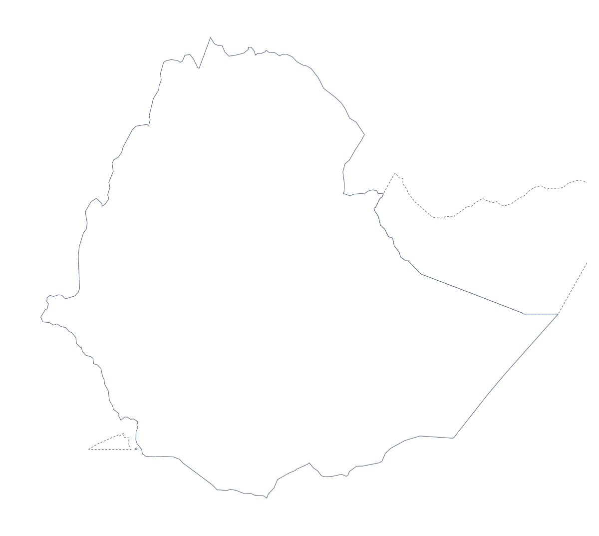
Using a blank map of Ethiopia
Anyone building a slide, a quiz or a poster on Ethiopia needs its shape without the clutter of someone else's labels. This page offers Outline only and With borders, which draws its 11 administrative areas. Both are a PNG on a transparent background, an SVG and a PDF.
Design first
The SVG gives a designer the most room. Open it in Figma or Illustrator and each of the 11 areas is its own shape, so you can fill Oromia in one colour and the rest in a pale tone, or recolour the lot in a palette that suits a report. Because it is a vector file, the same artwork prints on a poster and sits in a tiny corner of a letterhead.
On a slide, the PNG with its transparent background lets a photograph or a block of colour show through, so the outline is the only thing that sits on top.
A regional page
The political blank map of Ethiopia is With borders. In your own layout, put a text box beside a few of the areas and note a figure or a finding in each, leaving the rest unlabelled so the page stays readable. The list further down gives the spellings.
Which to take
If the shapes of the areas would distract, as for a logo sketch or a very young class, take Outline only. When you want the areas, take With borders. To print rather than place a file, the printable map of Ethiopia has the ready-made PDFs.
How to do it in MapMaker
- Choose With borders to show the 11 areas, or Outline only for the shape of Ethiopia alone.
- Download the PNG for a slide, the SVG for a design tool or the PDF for A4 or Letter.
- Place the file on your page and add text boxes beside the areas you want to note.
- Spell the area names from the list of administrative areas further down.
- For names, pins or a title on the map itself, choose Customise this map.
The 11 administrative areas on the map
A key for labelling the map by hand.
- Addis Ababa
- Afar
- Amhara
- Benishangul-Gumuz
- Dire Dawa
- Gambela
- Harari
- Oromia
- Somali
- Southern Nations
- Tigray
Facts about Ethiopia
Ethiopia is in Eastern Africa. The capital is Addis Ababa. The population is about 110 million (2019 estimate). Ethiopia has an area of about 1,130,000 km². The largest cities are Addis Ababa, Nazret, Dire Dawa, Bahir Dar and Dese. It borders Djibouti, Eritrea, Kenya, Somalia, Somaliland, South Sudan and Sudan. The map divides it into 11 administrative areas.
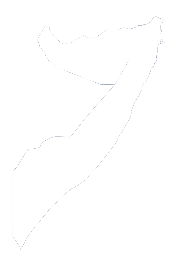
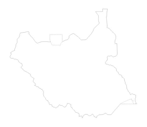
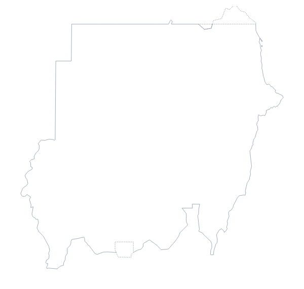
Maps of neighbouring places
Questions people ask
Is there a political blank map of Ethiopia?
Yes, it is the With borders version. It draws all 11 administrative areas with no names, so you can number them for a quiz and check the answers against the list on this page.
How many administrative areas does the blank map show?
The With borders version shows 11 administrative areas, from Addis Ababa to Tigray. Outline only shows none of the inner lines, just the shape of the country.
Which file should I use in a worksheet, a slide or a design?
Use the PNG in a worksheet or a slide, where the transparent background takes the page colour. Use the SVG in a design tool, and the PDF when you want a printout on A4 or Letter.
How do I add names, a title or my own colours?
Choose Customise this map. The editor opens the same outline, where you can show names, colour any area, add a title on the Canvas tab and download a PNG, JPG or SVG.