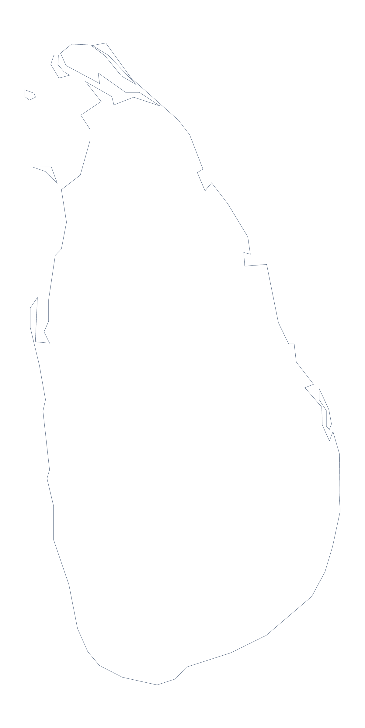
Blank map of Sri Lanka
The outline, free as a PNG, SVG or PDF. Label it, colour it in or drop it into a slide.
Using a blank map of Sri Lanka
The outline of Sri Lanka comes in two versions, and this page puts both in the file type your tool takes: a PNG on a transparent background, an SVG or a PDF for A4 or Letter. Pick the one that matches the job, whether that is a worksheet, a slide or a piece of artwork.
Choosing between the two shapes
Outline only is Sri Lanka as one shape, with nothing drawn inside it. It suits a silhouette on a cover, a first colouring sheet for young children and any design where inner lines would be clutter. With borders draws its 25 administrative areas, and it is the political blank map of Sri Lanka: the one for labelling, quizzes and colouring by area.
Which file for which job
The PNG belongs in a worksheet or a slide. Because it has no background colour, a slide in your school's or company's colours shows through it. The SVG is the one for Illustrator, Inkscape or Figma, where you can fill Jaffna, Kandy or Galle in a highlight colour or scale the shape up for a poster without blurring. The PDF is for putting Sri Lanka on A4 or Letter exactly as drawn.
Ways to use it
A teacher can paste the With borders PNG into a worksheet, number six areas and ask pupils to name them from the list on this page. A student can paste it onto a project cover and write a title across it. A designer can trace the outline into an icon, and a presenter can use the PNG as a quiet backdrop on a title slide.
More than the outline
Names, pins, a title or India shown across the sea need Customise this map, which opens the same outline in the editor. Print choices, in black and white or shaded first, are on the printable map of Sri Lanka.
How to do it in MapMaker
- Choose Outline only for the shape, or With borders for its 25 areas.
- Download the PNG for a slide or worksheet, the SVG for a design tool or a PDF for A4 or Letter.
- Put the file into your document and number the areas you want named.
- Check your answers against the list of areas below the map.
- For names or a title on the map, choose Customise this map and download from the editor.
The 25 administrative areas on the map
A key for labelling the map by hand.
- Ampara
- Anuradhapura
- Badulla
- Batticaloa
- Colombo
- Galle
- Gampaha
- Hambantota
- Jaffna
- Kalutara
- Kandy
- Kegalle
- Kilinochchi
- Kurunegala
- Mannar
- Matale
- Matara
- Monaragala
- Mullaitivu
- Nuwara Eliya
- Polonnaruwa
- Puttalam
- Ratnapura
- Trincomalee
- Vavuniya
Facts about Sri Lanka
Sri Lanka is in Southern Asia. The capital is Sri Jayawardenepura Kotte. The population is about 22 million (2019 estimate). Sri Lanka has an area of about 66,600 km². The largest cities are Jaffna, Colombo, Moratuwa, Batticaloa and Anuradhapura. Across the sea, its neighbours include India. The map divides it into 25 administrative areas.
Maps of neighbouring places
Questions people ask
Is there a political blank map of Sri Lanka?
Yes, the With borders version. It draws the lines between all 25 administrative areas and has no names on it, so the list further down this page serves as a key.
Can I open the SVG in Illustrator, Inkscape or Figma?
Yes. The SVG is a vector file that opens in all three. Each administrative area is its own shape, so you can recolour, move or delete them one at a time.
Does the PNG have a transparent background?
Yes. It has no background colour, so when you place it on a slide or a page, the colour behind it shows through and only the outline of Sri Lanka is visible.
Can I colour the map in before I download it?
Not on this page. The editable and printable pages have a bar of map tools for colouring first; or colour the PNG or SVG in your own program after downloading.