Blank map of India
The outline, free as a PNG, SVG or PDF. Label it, colour it in or drop it into a slide.
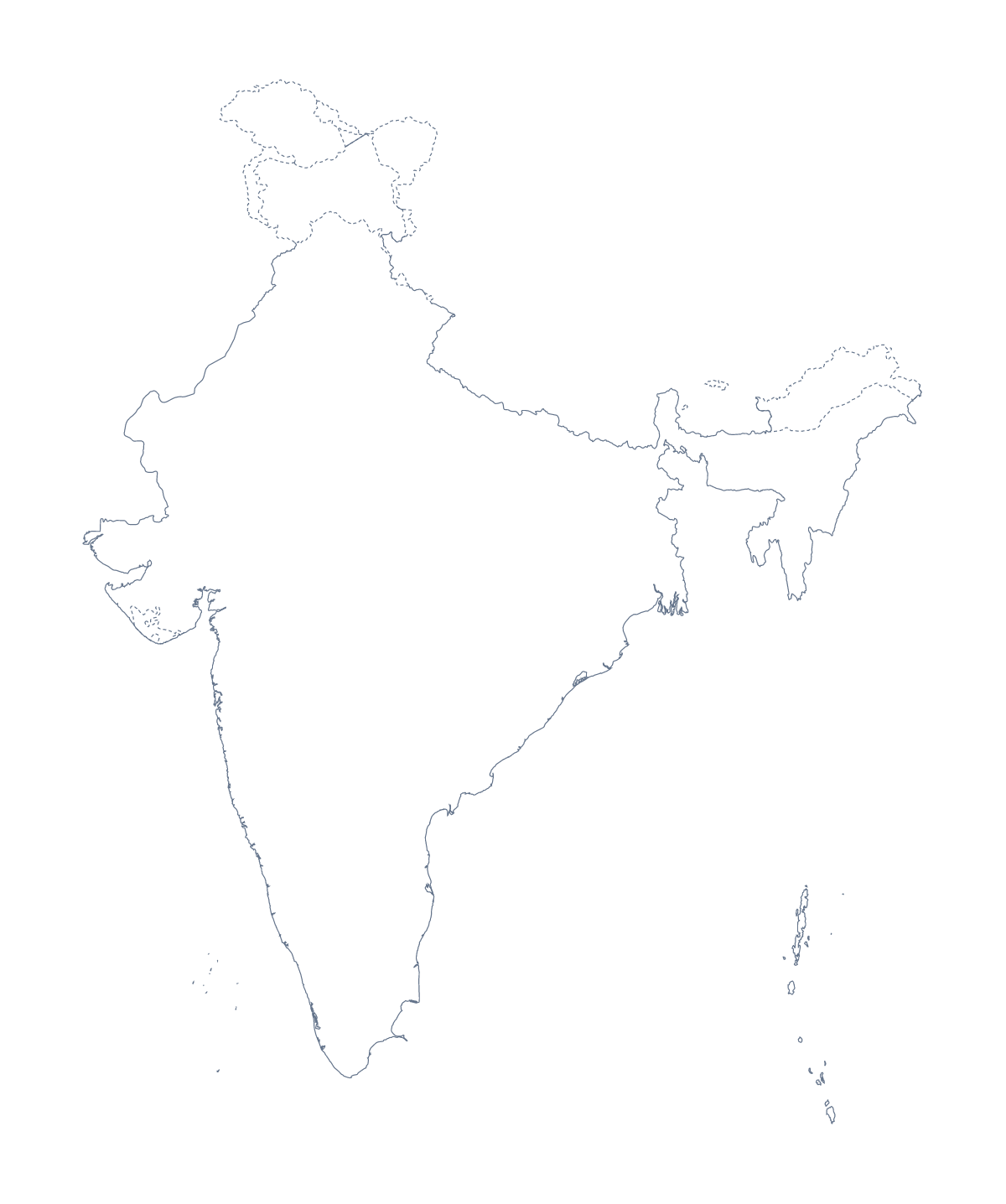
Using a blank map of India
The outline of India turns up in a lot of other people's work: a teacher's worksheet on the states, a student's revision cards, a company's slide about its markets, a poster or an illustration. This page has Outline only, the shape of India with nothing inside, and With borders, which draws its 28 states and 8 union territories. Each comes as a PNG on a transparent background, an SVG and a PDF.
A term's worth of states
Rather than all of India at once, build a worksheet around the states a class will study this term. Place the With borders PNG in your document, shade those five or six states lightly in your own software and put a letter on each, with a box for its name below. At the end of the term, reuse the file with a different set. The list of states and union territories further down this page is the key every time. For revision cards, shrink the PNG to the corner of each card and shade the state the card is about.
Slides and design work
A market or expansion slide can use the Outline only PNG on the left with three short figures on the right; the transparent background lets the slide's colour show around India. In Illustrator, Inkscape or Figma, the SVG of With borders gives each state its own path, so a designer can fill a few in brand colours for an infographic and leave the rest pale. For a poster, the vector file scales up without blurring.
Which version, which file
Take With borders when the states and union territories are the subject, and Outline only for a silhouette, a cover or a title slide. PNG for documents and slides, SVG for design tools, PDF for A4 or Letter at 100%. The blank map of the Indian states and union territories has the regions as a set of their own. For class sets in black and white, use the printable map of India.
How to do it in MapMaker
- Pick With borders for the 28 states and 8 union territories, or Outline only for India's shape.
- Download the PNG for a worksheet or slide, the SVG for a design tool or a PDF for print.
- Shade and letter the states you are teaching in your own file, and keep the list on this page as the key.
- For names or colours on the map itself, choose Customise this map and download from the editor.
The 28 states and 8 union territories on the map
A key for labelling the map by hand.
- Andaman and Nicobar Islands
- Andhra Pradesh
- Arunachal Pradesh
- Assam
- Bihar
- Chandigarh
- Chhattisgarh
- Dadra and Nagar Haveli and Daman and Diu
- Delhi
- Goa
- Gujarat
- Haryana
- Himachal Pradesh
- Jammu and Kashmir
- Jharkhand
- Karnataka
- Kerala
- Ladakh
- Lakshadweep
- Madhya Pradesh
- Maharashtra
- Manipur
- Meghalaya
- Mizoram
- Nagaland
- Odisha
- Puducherry
- Punjab
- Rajasthan
- Sikkim
- Tamil Nadu
- Telangana
- Tripura
- Uttar Pradesh
- Uttarakhand
- West Bengal
Facts about India
India is in Southern Asia. The capital is New Delhi. The population is about 1.4 billion (2019 estimate). The largest cities are Mumbai, Delhi, Kolkata, Chennai and Bengaluru. It borders Bangladesh, Bhutan, China, Myanmar, Nepal and Pakistan. The map divides it into 28 states and 8 union territories.
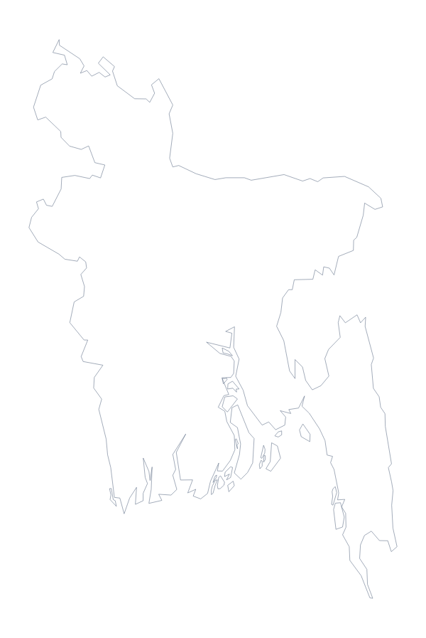
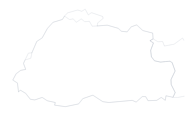
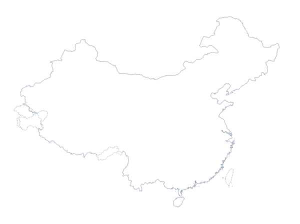
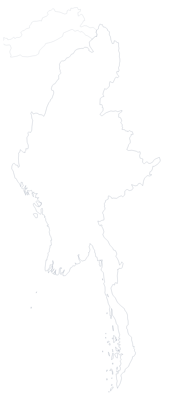
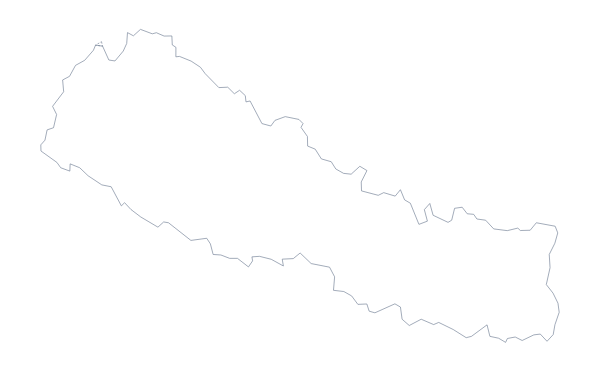
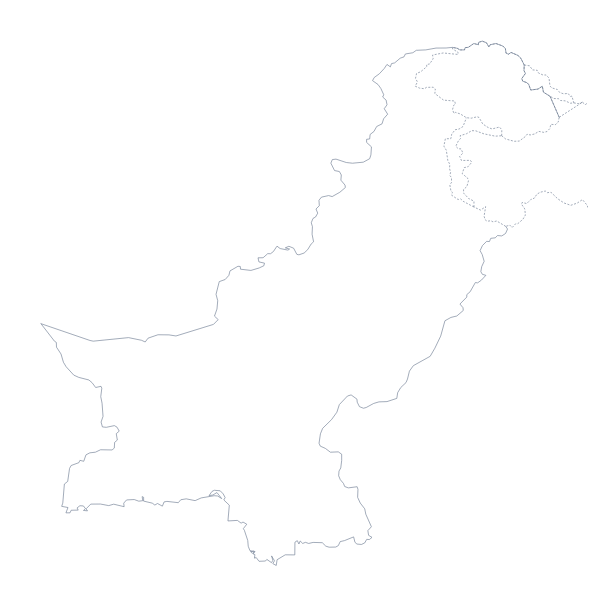
Maps of neighbouring places
Questions people ask
Is there a blank map of India's states and union territories on its own?
Yes. The blank map of the Indian states and union territories has the same shapes, with With borders as its first version. This page leads with India's outline and offers the states as the second version.
Does the blank map show the names of the states and union territories?
No. Both versions are blank by design. The list further down this page names all 28 states and 8 union territories, ready to use as the key when pupils label the With borders file.
Can I make the outline bigger without it going blurry?
Yes, with the SVG or the PDF, which are vector files: India's outline and its inner lines stay sharp on a poster or a wall display. Use the PNG at the size it downloads.
How do I add names, a title or my own colours?
Choose Customise this map to open the same outline in the editor. There you can show the names of the states, colour them, add a title and download a new PNG, SVG or PDF.