Blank map of the UK and Ireland
The outline, free as a PNG, SVG or PDF. Label it, colour it in or drop it into a slide.
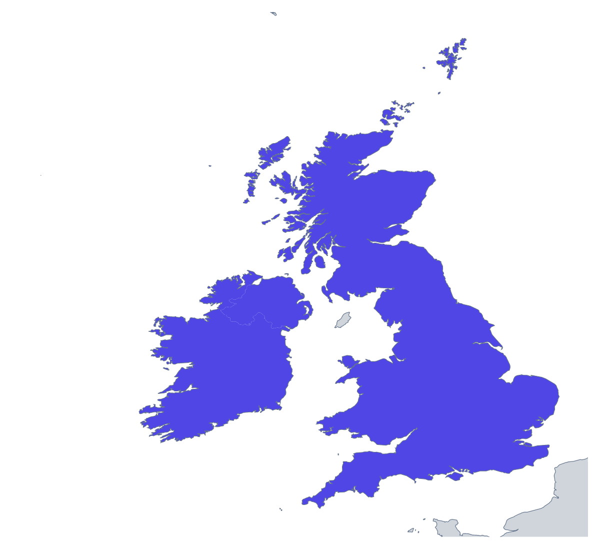
Using a blank map of the UK and Ireland
The outline of the UK and Ireland is a small, simple shape, and that is why people use it: on a business card, in the corner of a report, behind a title slide, on a van or a leaflet. Choose Outline only for the land alone or With borders for the two countries drawn separately, then the file: a PNG with a transparent background, an SVG or a PDF.
Slides, reports and leaflets
For a team whose territory is the UK and Ireland, the transparent PNG sits happily on a title slide in the company colour, with the team's name beside it. A small version in the corner of each slide of a quarterly update shows where the figures come from. In a leaflet or a report cover, the Outline only version makes a quiet graphic that does not compete with the heading.
Design and craft
The SVG opens in Illustrator, Inkscape or Figma and takes a colour, a pattern or a line style on each of the two shapes. A designer can use it for a logo sketch, a stamp or a sticker; with only two shapes, it is easy to simplify further, and to cut from card, vinyl or wood.
A short document
With so few shapes, a page for a leaflet or a report takes a minute to make: place the With borders PNG in a document and set a line of text beside each of the two shapes, in your own wording. A short note under each shape is all it needs, and the list further down this page gives the spelling of both names.
Which version
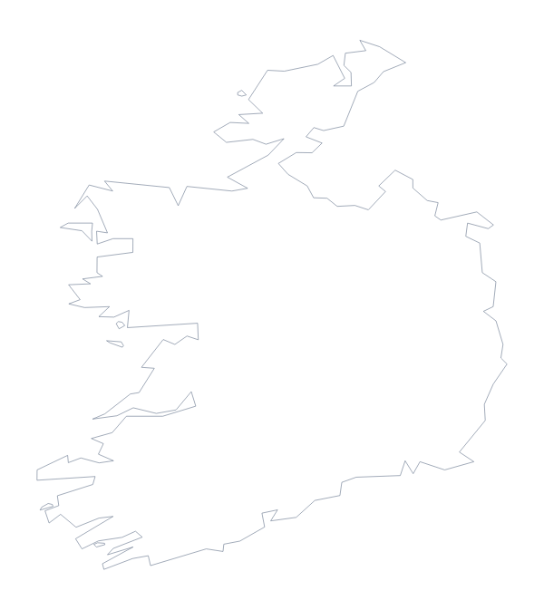
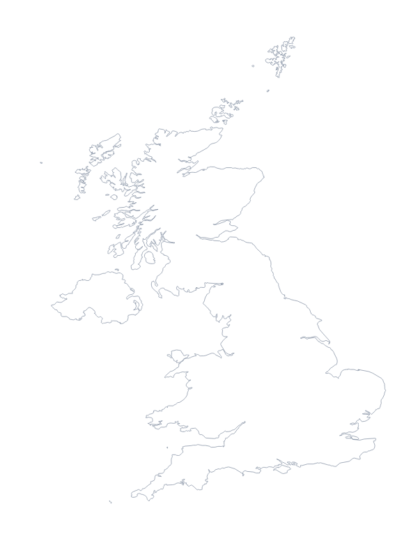
With borders is the political blank map of the UK and Ireland, and the right one when the two countries need to be told apart. Outline only suits anything where the pair is a single graphic. For a colour, name or title on the map, choose Customise this map. A map of either country on its own is on the blank map of Ireland or the blank map of the UK.
How to do it in MapMaker
- Choose Outline only for the land alone, or With borders for the two countries.
- Take the PNG for a slide, a report or a leaflet, or the SVG for a design tool.
- Use PDF, A4 or PDF, Letter if the page is going to the printer as it is.
- Choose Customise this map for colours, names or a title, then download from the editor.
The 2 members on the map
A key for labelling the map by hand.
- Ireland
- United Kingdom
Facts about the UK and Ireland
2 members are on the map. The members are Ireland and United Kingdom.
Maps of places in the UK and Ireland
Questions people ask
Is there a political blank map of the UK and Ireland?
Yes: the With borders version. It draws the borders of the United Kingdom and of Ireland, with no names, so each country is a shape of its own to colour or label in your own file.
What is the difference between Outline only and With borders?
Outline only shows the land of both countries without any borders drawn in. With borders draws the borders of each country, which you need when each one gets its own colour or label.
Which file should I use in a worksheet, a slide or a design?
The PNG for worksheets and slides, since its transparent background takes the colour behind it. The SVG for a design tool, where it scales without blurring. The PDF for a copy printed as it is on A4 or Letter.
Can I open the SVG in Illustrator, Inkscape or Figma?
Yes. The SVG is a vector file, so both shapes can be recoloured, restyled or traced in a design tool, and the lines stay sharp however large you make them.