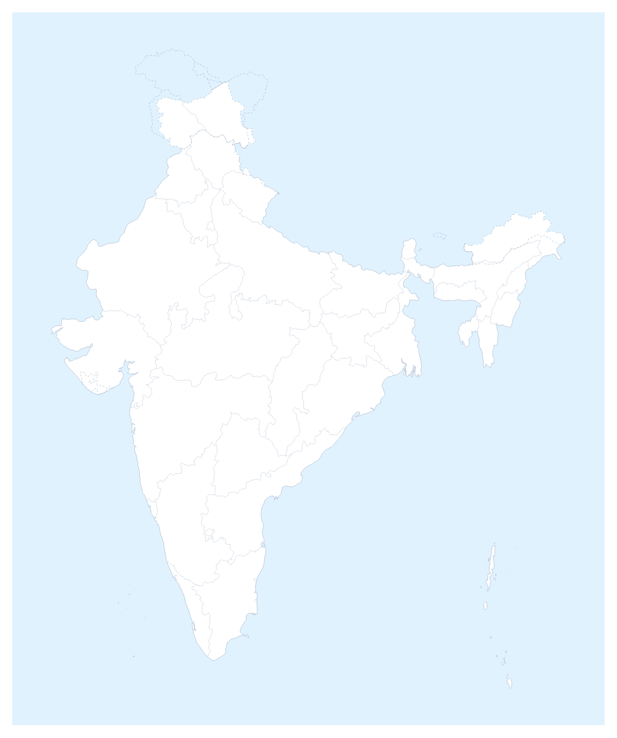
Editable map of Indian states and union territories
Colour the regions, add cities and labels, and download it in minutes. Free, no sign-up.
Ideas for a map of Indian states and union territories
A map of the Indian states and union territories is the usual base for a state-by-state plan: where a product has launched, where the next office opens, which regions a team covers. It opens in the editor with the 28 states and 8 union territories drawn as separate shapes, so every one can take its own colour.
A rollout or coverage slide
Choose one colour per stage of a rollout and click each state into place: launched, next, later. A legend with the three stage names turns the map into a progress slide that a board reads in seconds. For a sales or service team, give each manager a colour instead, and pin the offices in Mumbai, Delhi, Kolkata, Chennai and Bengaluru so the slide shows both who covers what and where they sit.
Study, travel and reports
Students can colour the states they have covered, add a title and a short legend, and print the result for a project. Travellers can pin the cities on a trip, join them with a route and numbered stops, and use the PNG in an itinerary or a blog post. For a report that has a figure for every state, the choropleth map of India colours the states from pasted values, so you do not have to band them by hand.
Making it yours
Start on the page: pick a colour in the bar and click the states you want. State lines shows or hides the lines between them. With Customise this map, the editor's place list names every state and union territory, so Goa, Sikkim or Puducherry can be picked by name instead of found on the map. The map is drawn with the international boundaries, and in the editor the Boundaries setting can draw them as recognised by one of several countries, with a boundary note.
For slides
Set the canvas to 16:9 and the map fills the slide. Download a PNG with Transparent on for a slide with its own background, or use Copy image and paste. Minimal suits a board pack and Dark a deck with a dark theme. The map for PowerPoint page has more, and the editable map of India opens the country on its own.
How to do it in MapMaker
- Pick a colour in the bar on the map and click the states for your first stage or territory, then repeat with the next colour.
- Choose Customise this map to carry on in the editor, where the place list names every state and union territory.
- Pin Mumbai, Delhi or Chennai with Find a city, and add a title on the Canvas tab.
- Choose Download and save a PNG for slides or an SVG for a design tool.
Embed this map
Paste this code into your website to show this map of Indian states and union territories, with a small credit link back to MapMaker.so.
Facts about Indian states and union territories
This map shows 28 states and 8 union territories in Southern Asia. The capital is New Delhi. The population is about 1.4 billion (2019 estimate). The largest cities are Mumbai, Delhi, Kolkata, Chennai and Bengaluru.
Questions people ask
How do I colour the Indian states and union territories?
Pick a swatch in the bar on the map and click a state or union territory to fill it; click again to clear it. In the editor, the place list names all 28 states and 8 union territories, so you can pick any of them by name.
How do I mark which states a rollout has reached?
Use one colour per stage, for example launched, next and later, and click each state into its stage. The legend gets a line per colour, and you can rename the lines to match your plan.
Can I add Mumbai, Delhi and Bengaluru to the map?
Yes, in the editor. Add your cities opens the pin tool with the city search; type Mumbai, Delhi, Kolkata, Chennai or Bengaluru and the pin lands in place with a label you can edit.
Can I use the map in a presentation?
Yes. Set the canvas to 16:9, then download a PNG, with Transparent on if the slide has its own background, or use Copy image in the Download dialog and paste the map onto the slide.